Results for “creek”
 ▶ Video
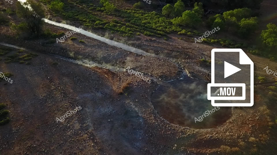
Aerial view of a drought-affected landscape showing a dry riverbed or stream with rocky, parched terrain. Sparse vegetation and trees line the edges of the barren ground, revealing the severe environmental impact of water scarcity. The image captures the stark, brown and gray tones of a landscape suffering from prolonged lack of rainfall.
 ▶ Video
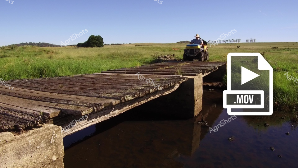
A weathered wooden bridge spans a creek crossing in the New South Wales countryside, providing rural infrastructure for agricultural access across the water. In the background, a man operates a tractor with an air cart attachment across the green pasture, while cattle graze peacefully in the distance. The pastoral landscape showcases typical farming operations, with the creek crossing serving as essential infrastructure for moving agricultural vehicles and equipment between paddocks during cattle and cropping activities.
 ▶ Video
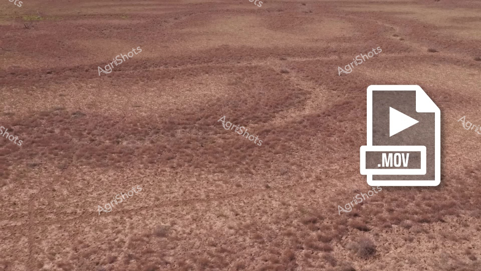
Cattle graze across drought-affected paddocks in Queensland's Channel Country, where recent flooding has left muddy waterlogged ground and shallow creek channels. The reddish-brown soil shows the aftermath of water flow across the station property, with scattered puddles and erosion patterns visible throughout the landscape. This video captures the challenging conditions faced by beef cattle operations in the remote Queensland outback, where extreme weather patterns alternate between severe drought and significant flooding events along the creek systems.
 ▶ Video
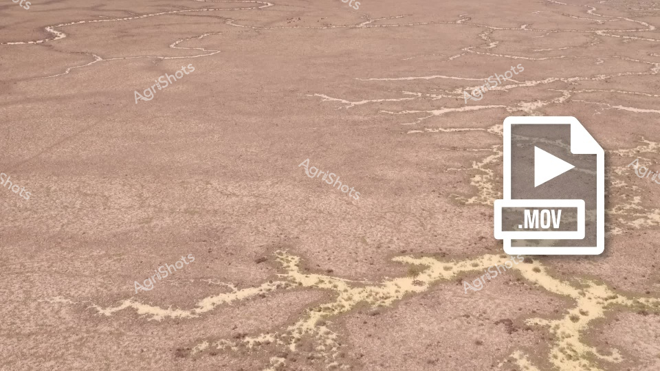
A barren, cracked earth landscape with winding dry creek beds or salt patterns stretching across a dusty brown terrain. The ground appears parched and weathered, with yellowish-pale lines tracing irregular paths across the arid surface, suggesting extreme drought or desert-like conditions.
 Image
Image
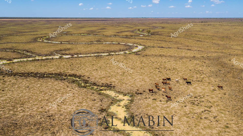
Meandering through the expansive Channel Country of Queensland, a serpentine waterway cuts a vibrant path across the golden-brown grasslands, breathing life into the arid landscape. A small herd of robust beef cattle graze near the water's edge, their rich brown coats contrasting against the sun-bleached pastures, embodying the resilience of Australian livestock in this challenging environment. The winding creek, likely swollen from seasonal flooding, creates a lifeline through the seemingly endless horizon, its banks lined with subtle hints of green vegetation marking the water's influence. The aerial perspective reveals the magnificent scale of this remote pastoral setting, where the sky stretches endlessly in soft blue hues dotted with wispy clouds. The landscape speaks to the harsh yet beautiful nature of outback Queensland, where survival depends on strategic water management and adaptable cattle breeds.
 Image
Image
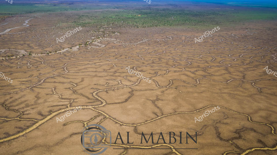
Serpentine waterways carve an intricate network across the arid Channel Country landscape, revealing the complex hydrology of Australia's remote western Queensland. A vast floodplain stretches toward distant green woodland horizons, its surface etched with sinuous creek lines and sandy channels that capture ephemeral water flows during rare rainfall events. The aerial perspective showcases the delicate branching patterns of natural drainage systems, where seasonal flooding transforms this seemingly barren terrain into a dynamic ecological canvas of golden browns and subtle earth tones. These meandering waterways are lifelines for pastoral stations, providing critical moisture to support sparse vegetation and sustain livestock across this challenging semi-arid environment. The intricate geographic texture tells a story of geological patience, where water has slowly sculptured the landscape over millennia, creating a remarkable topographical fingerprint visible only from high above. This expansive view captures the raw beauty of Australia's inland waterways, demonstrating the resilient and adaptive nature of the continent's interior ecosystems.
 Image
Image
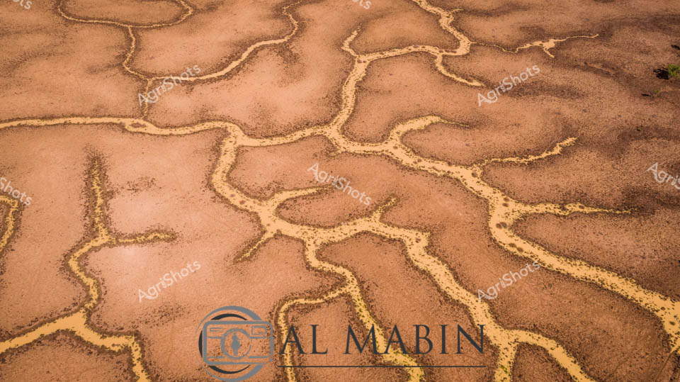
Serpentine waterways carve intricate patterns across the arid landscape of Queensland's Channel Country, revealing the ephemeral beauty of desert hydrology. Golden-brown tributaries snake across a dusty terracotta surface, tracing the delicate network of ancient creek lines and seasonal river channels that define this harsh but mesmerizing ecosystem. The aerial perspective captures the geological artistry of water movement, where each branching stream tells a story of rare flooding and survival in one of Australia's most unforgiving environments. Windorah's legendary inland waterways demonstrate nature's remarkable capacity to create complex, organic designs that pulse with life-giving moisture across seemingly barren terrain. The intricate golden-edged channels suggest the transient power of water in transforming this landscape, highlighting the critical role of seasonal floods in sustaining the fragile ecological balance of central Queensland's remote pastoral zones.
 Image
Image
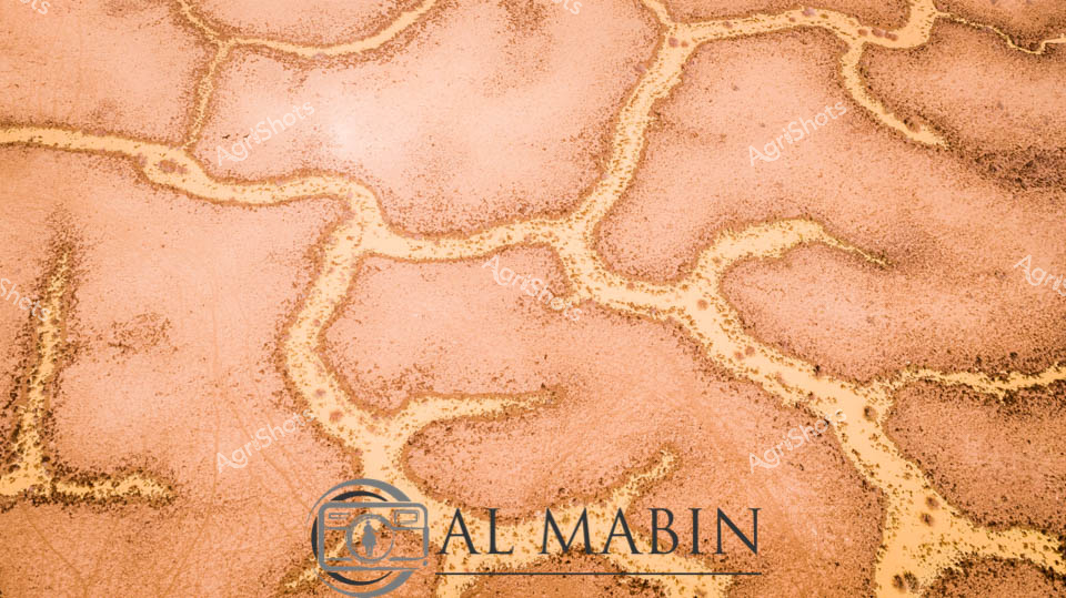
Sinuous golden waterways trace delicate paths across a dusty terracotta landscape, capturing the ephemeral beauty of Channel Country during a rare flooding event. This aerial perspective reveals the intricate network of dried creek beds and seasonal water channels that define the remarkable hydrology of Queensland's remote western regions. Soft amber and salmon tones blend seamlessly, illustrating the subtle topographical variations that guide water across this arid pastoral terrain. The branching patterns resemble natural capillaries, demonstrating how these fragile waterways sustain life in one of Australia's most challenging agricultural environments. The distinctive photographic style transforms a geological phenomenon into a stunning abstract landscape, highlighting the raw, elemental beauty of inland Australia's most dynamic ecological systems. Each meandering line tells a story of resilience, water management, and the profound connection between land and survival in the continent's most unforgiving landscapes.
 Image
Image
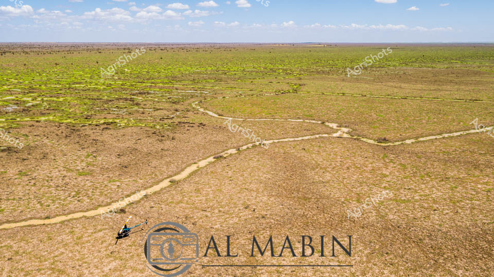
Expansive Channel Country floodplain stretches toward the distant horizon, revealing the raw beauty of Queensland's interior landscape. A sinuous dry creek bed meanders across the sun-drenched terrain, its pale sandy path cutting through muted earth tones of brown and subtle green. Intermittent patches of bright green vegetation suggest recent rainfall has brought fleeting life to this arid pastoral region, highlighting the delicate ecological balance of Australia's inland stations. The wide blue sky, populated with soft white clouds, creates a sense of immense openness and potential, characteristic of the vast beef production areas of western Queensland. The composition captures the resilience of the landscape - a network of natural watercourses waiting to be activated by seasonal floods, ready to transform this seemingly dormant terrain into a momentary oasis of pastoral productivity.
 Image
Image
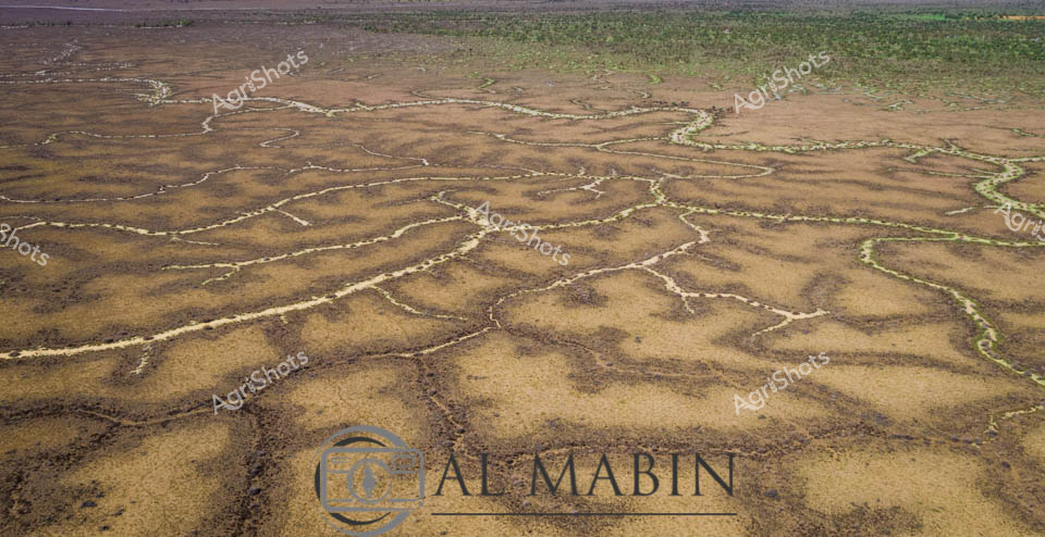
Aerial view of an intricate natural waterway system winding through the arid Channel Country of western Queensland, revealing the complex hydrology of this remarkable landscape. Sinuous green-edged channels break through the dusty golden-brown earth, tracing delicate networks that resemble capillaries across a vast, sun-baked terrain. These ephemeral creek lines, characteristic of the region's seasonal flooding patterns, demonstrate the resilient ecosystem of Australia's inland waterways, where brief moments of rainfall can transform seemingly barren landscapes into thriving, interconnected waterways. The image captures the fragile balance of water and land in one of Australia's most challenging agricultural environments, where pastoral stations rely on these natural water distribution systems for livestock survival. Subtle variations in earth tones - from pale ochre to rich sepia - highlight the textural complexity of the landscape, while the thin green margins of vegetation hint at the life-giving potential of these intermittent water courses.
 Image
Image
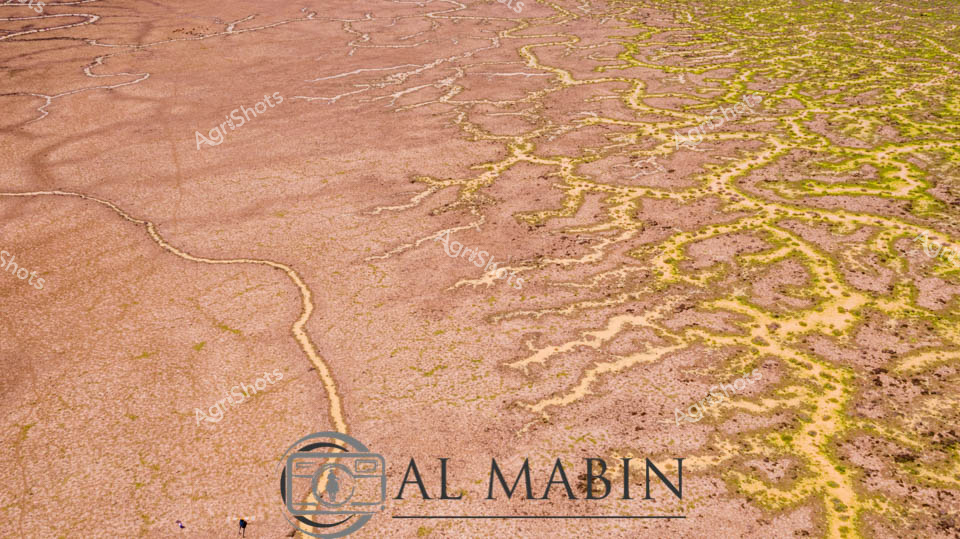
Serpentine waterways of russet and olive weave across an expansive inland landscape, capturing the ephemeral hydrology of Queensland's legendary Channel Country. Delicate green veins of vegetation trace the sinuous path of seasonal creek lines, revealing the intricate network of water channels that sustain this arid ecosystem during rare flooding events. The aerial perspective showcases the remarkable geological patterns formed by water movement across the terracotta-hued earth, where each branching stream tells a story of resilience and adaptation in one of Australia's most challenging agricultural environments. Windorah's distinctive terrain demonstrates nature's extraordinary capability to transform seemingly barren ground into a complex, living system through strategic water distribution. The muted earth tones of brown and yellow-green create a mesmerizing natural abstract, highlighting the sophisticated hydraulic architecture that supports pastoral life in remote Queensland. This image encapsulates the dramatic beauty of Australia's inland waterways, where every meandering line represents survival, growth, and the delicate balance of agricultural ecosystems.
 Image
Image
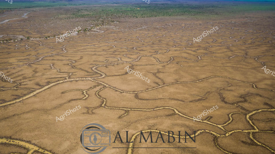
An aerial view reveals the intricate, serpentine waterways of Channel Country in Queensland, where dry creek beds and floodplains create a mesmerizing network of sinuous lines across the arid landscape. The branching water channels, etched into the dusty earth, showcase the complex hydrology of this remote Australian region, highlighting the resilient geography that supports pastoral activities during seasonal flooding. Green vegetation clusters along the horizon, contrasting with the golden-brown tones of the expansive, water-carved terrain.
 Image
Image
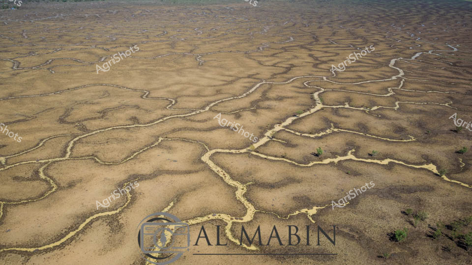
Aerial view of Channel Country's intricate water networks, revealing the mesmerizing natural hydraulics of Queensland's arid landscape. Serpentine waterways trace delicate, branching patterns across a sun-baked earth canvas, creating a complex system of interconnected creek lines and floodplains. The landscape appears like a dried riverbed during a dry season, with pale ochre and sandy tones dominating the terrain, punctuated by subtle hints of green vegetation clustering along the water channels. These natural drainage lines, carved by centuries of seasonal flooding, demonstrate the resilient ecosystem of Australia's inland regions, where water is both a precious and transformative element. The intricate network resembles abstract geographical artistry, highlighting the sophisticated natural engineering of desert hydrology. Captured from a high altitude, this image reveals the breathtaking complexity of Australia's inland waterways, showcasing the subtle beauty of a landscape shaped by intermittent but powerful water flows.
 Image
Image
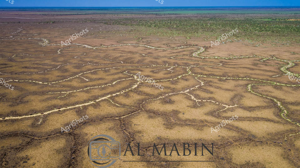
Serpentine waterways weave across a sun-baked Channel Country landscape, revealing the intricate network of ephemeral creek systems that define Queensland's arid pastoral regions. The aerial perspective captures the delicate golden and ochre tendrils of water channels meandering across the dusty earth, creating an organic, vein-like pattern that speaks to the fragile hydrology of this remote Australian terrain. Each sinuous waterway traces a path of potential life through the seemingly barren landscape, highlighting the critical importance of seasonal flooding in supporting livestock grazing and ecosystem survival in these harsh western Queensland stations. Subtle variations of tan, amber, and pale yellow create a nuanced topographical canvas, with sparse vegetation offering rare punctuations of green against the predominantly earth-toned backdrop. This image epitomizes the resilience and dynamic nature of Australian pastoral landscapes, where water is both a precious resource and a transformative geological force.
 Image
Image
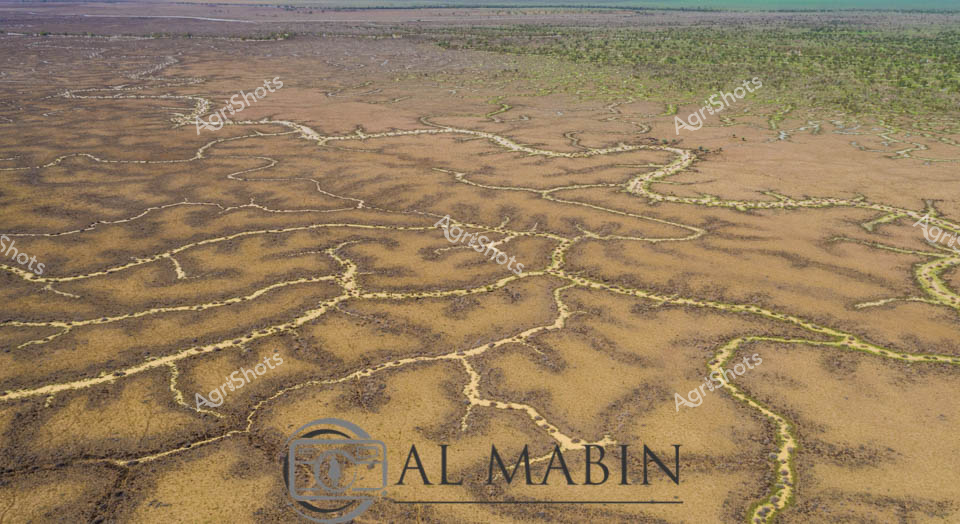
Serpentine waterways carve intricate patterns across the arid Channel Country landscape, revealing the ephemeral life force of inland Queensland. Flooding creek systems spread like delicate silver veins across the ochre and umber terrain, creating a natural irrigation network that transforms the drought-affected earth into a temporary emerald and bronze tapestry. The horizon stretches endlessly, with a deep azure sky meeting the weathered plains, highlighting the dynamic ecosystem of this remote pastoral region. These branching water channels, characteristic of western Queensland's unique geography, demonstrate the critical role of seasonal water flows in sustaining pastoral stations and supporting fragile desert ecosystems. The aerial perspective captures the raw beauty of Australia's inland hydrology, where water becomes a sculptural element reshaping the landscape with each seasonal pulse.
 Image
Image
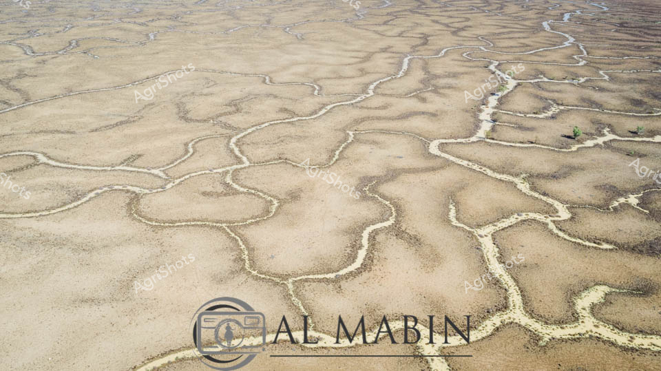
Branching waterways weave an intricate network across the parched Channel Country landscape, revealing the ephemeral lifelines of Queensland's remote interior. Limestone-edged creek lines trace delicate golden-green pathways through ochre and umber plains, capturing the subtle hydrology of an arid pastoral ecosystem. During rare flood events, these seemingly fragile watercourses transform the landscape, carrying vital moisture across vast cattle station territories and sustaining native grasses that support extensive beef production. The aerial perspective unveils a natural irrigation system where water navigates subtle topographical contours, creating a mesmerizing organic pattern that speaks to the resilience of Australia's inland agricultural environments. Soft green vegetation clusters along the watercourse edges contrast with the dominant brown earth, highlighting the critical role of water in this unforgiving terrain.
 Image
Image
Intricate braided waterways snake across the sun-baked earth of Channel Country, revealing the ephemeral hydrology of Queensland's vast inland landscape. Aerial perspective captures the delicate silver-white tendrils of seasonal creek networks meandering through an ochre and taupe terrain, tracing the subtle topographical contours like fine veins across a dried riverbed. These seasonal water channels, characteristic of Australia's arid interior, demonstrate the resilient ecological patterns of flood plains that briefly come alive during rare rainfall events. Windorah's legendary landscape unfolds in this image - a testament to the dynamic hydraulic systems that sustain pastoral ecosystems across remote western Queensland. Sparse vegetation punctuates the margins of these water pathways, highlighting the sparse yet strategic vegetation adapted to survive in these extreme environmental conditions.
 Image
Image
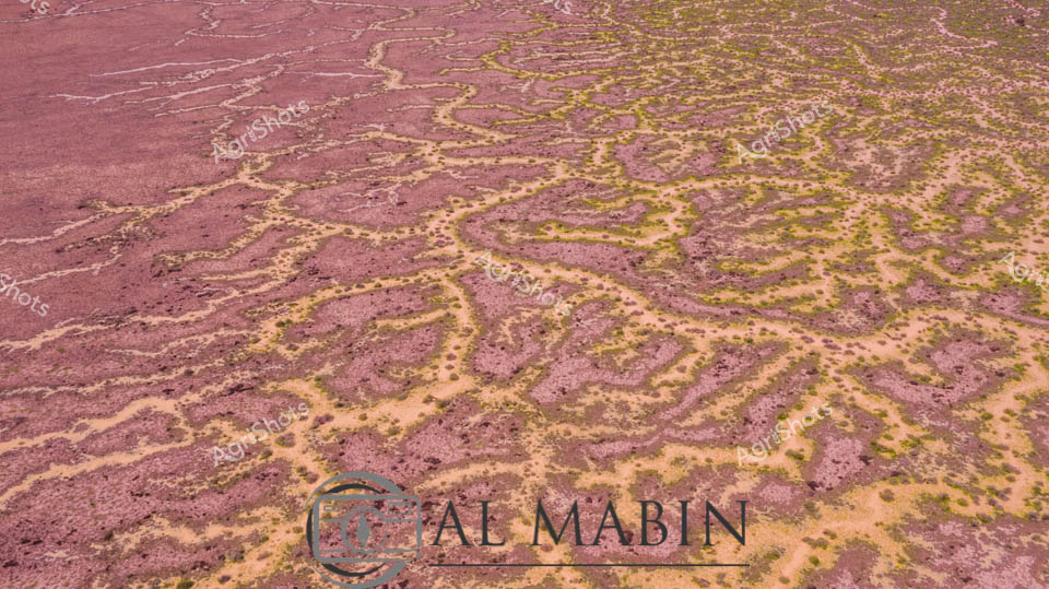
Serpentine waterways of rust-red earth and golden-green vegetation weave across a quintessential Channel Country landscape near Windorah in remote Queensland. Aerial photography reveals the intricate braided patterns of seasonal creek systems, where floodwaters have carved delicate networks across the arid station country. Rich ochre soils contrast beautifully with sparse vegetation, highlighting the extraordinary natural hydrology of this challenging agricultural terrain. The landscape speaks to the resilience of pastoral ecosystems, where water transforms barren ground into a complex tapestry of life during rare flooding events. Geological and ecological processes are captured in stunning detail, showing how water dynamically reshapes this harsh yet breathtaking Australian outback environment.
 Image
Image
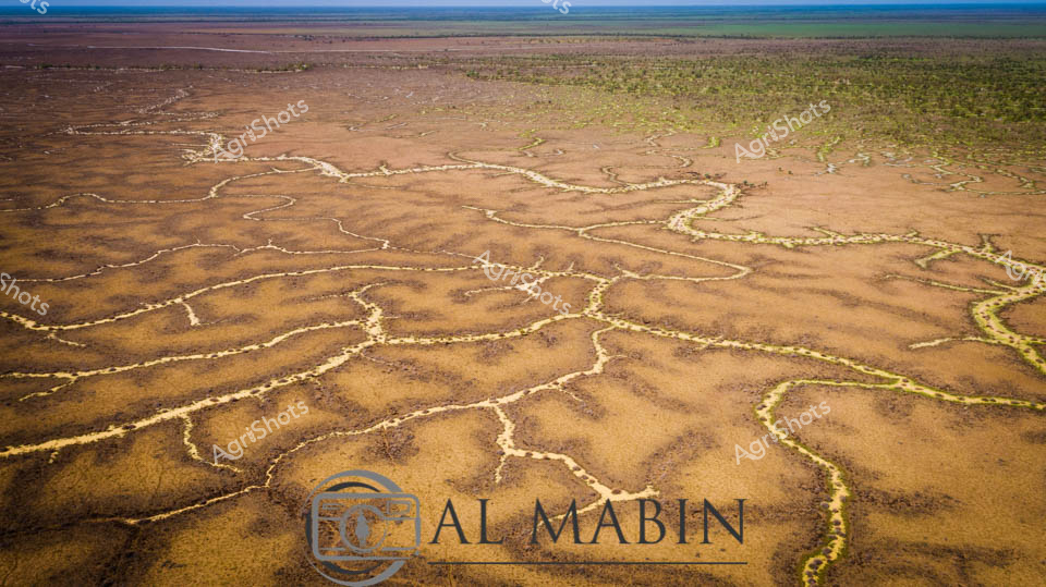
Serpentine waterways trace golden-brown earth like delicate veins across the expansive Channel Country landscape. Aerial perspective reveals the intricate network of ephemeral creek lines spreading across the arid Queensland landscape, where subtle green vegetation marks the moisture-rich pathways. The seasonal flooding has transformed the dusty plains into a complex hydrology of interconnected waterways, highlighting the dramatic seasonal transformations of Australia's inland pastoral regions. Windorah's distinctive landscape unfolds in earthy ochres and muted greens, showcasing the resilient ecosystem of remote western Queensland. Subtle variations in terrain create a mesmerizing topographic pattern, where water's ancient pathways carve intricate routes through the station country. The image captures the breathtaking scale and delicate ecological balance of Australia's inland water systems, where every rainfall and flood cycle reshapes the terrain in a timeless dance of renewal and survival.
 Image
Image
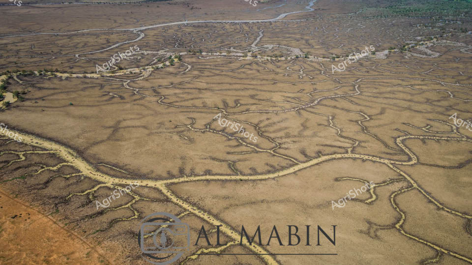
An intricate aerial view of Channel Country reveals a complex network of braided waterways and dry creek beds stretching across an arid Queensland landscape. Serpentine rivers wind through the parched terrain, creating an organic, maze-like pattern of silver and ochre channels that reflect the unique hydrology of this remote Australian outback region. The landscape captures the harsh beauty of drought-affected inland Australia, with sparse vegetation and meandering water courses etched into the sun-baked earth.
 Image
Image
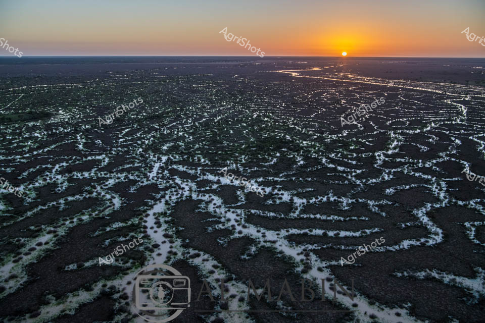
Dawn breaks over Channel Country's mesmerizing landscape, revealing an intricate network of ephemeral waterways stretching across dark earth at sunrise. The braided creek systems of western Queensland glow with silvery-white ribbons of water, creating an extraordinary natural irrigation pattern that transforms the arid landscape into a complex hydological tapestry. Soft golden light crests the horizon, illuminating the serpentine water channels that wind through the dark soil, capturing the essence of this remote Australian inland ecosystem. These seasonal flood plains, characteristic of Queensland's western regions like Windorah, demonstrate nature's extraordinary capacity for water distribution across seemingly inhospitable terrain. The aerial perspective highlights the delicate balance of water and land, where each sinuous stream represents potential life and regeneration in this challenging agricultural environment. The image captures the raw, elemental beauty of Australia's interior - a landscape of extreme conditions where water is both rare and transformative.
 Image
Image
Aerial vista of Channel Country's ephemeral waterways near Windorah, Queensland, revealing the intricate capillary-like network of seasonal creek systems during a rare flooding event. Silvery-white water tendrils fracture the ochre and umber landscape, tracing delicate branching patterns across the arid terrain like living arteries. The main watercourse glows with a burnished golden-brown hue, carrying life-giving moisture through the parched plains, with sparse vegetation clinging to its edges in resilient clusters of olive and sage green. This extraordinary landscape demonstrates the transformative power of water in Australia's harsh interior, where brief moments of abundance reshape the seemingly dormant ecosystem. The complex hydrological system illustrates the remarkable adaptation of beef stations in Queensland's remote Channel Country, where pastoral management relies on understanding these dynamic, intermittent water flows. From this elevated perspective, the landscape appears almost abstract - a stunning natural cartography of survival and renewal in one of the world's most challenging agricultural environments.
 Image
Image
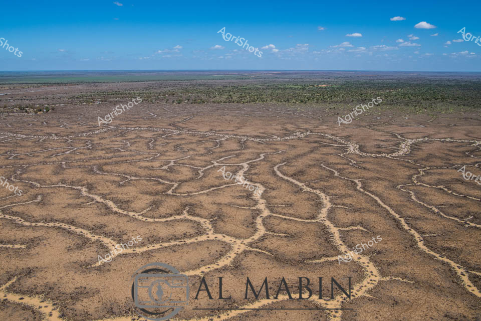
Aerial vista of Channel Country's intricate water management system, revealing the complex network of ephemeral creek channels carved across an arid Queensland landscape. Serpentine waterways weave like silvery veins across the dusty earth, creating an extraordinary natural irrigation pattern that transforms during rare flooding events. The branching channels, etched delicately into the ochre and sienna terrain, demonstrate the remarkable hydraulic engineering of this remote Australian pastoral region. Distant green vegetation marks the landscape's edges, contrasting against the pale brown ground and meeting a luminous azure sky scattered with wispy white clouds. These natural water distribution channels are critical infrastructure for beef cattle stations, capturing and dispersing precious rainfall across vast, otherwise inhospitable plains. The image captures the extraordinary resilience and adaptive strategies of Australian agricultural landscapes, where water management is an art form sculpted by geological and climatic forces.
 Image
Image
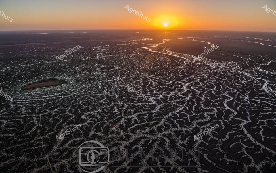
Sunrise bathes the intricate waterways of Channel Country in a golden light, revealing the mesmerizing network of braided river channels stretching across the arid Queensland landscape. The aerial perspective captures the delicate, lace-like patterns of water threading through the dark earth, creating a stunning natural mosaic that defines this unique pastoral ecosystem. As the sun crests the horizon, its warm rays illuminate the complex hydraulic system that sustains life in this remote beef cattle production region. The waterways - likely Cooper Creek or a similar inland river system - demonstrate the critical importance of water management in Australian agriculture, showing how these ephemeral water networks support extensive cattle stations during both flood and drought conditions. The intricate branching channels reflect the resilience of the landscape, with each silvery stream potentially representing a lifeline for cattle grazing in this challenging environment. This breathtaking vista encapsulates the raw beauty of Queensland's inland pastoral zones, where water is the most precious resource in a seemingly inhospitable terrain.