About this image
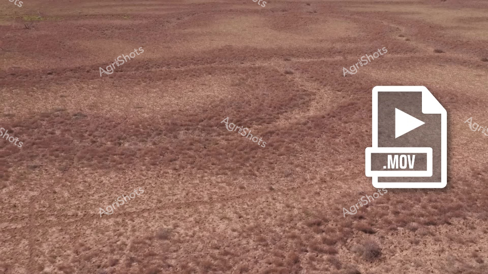
A barren, cracked earth landscape with winding dry creek beds or salt patterns stretching across a dusty brown terrain. The ground appears parched and weathered, with yellowish-pale lines tracing irregular paths across the arid surface, suggesting extreme drought or desert-like conditions.
Similar media
 ▶ Video
Cattle graze across drought-affected paddocks in Queensland's Channel Country, where recent flooding has left muddy waterlogged ground and shallow creek channels. The reddish-brown soil shows the aftermath of water flow across the station property, with scattered puddles and erosion patterns visible throughout the landscape. This video captures the challenging conditions faced by beef cattle operations in the remote Queensland outback, where extreme weather patterns alternate between severe drought and significant flooding events along the creek systems.
 ▶ Video
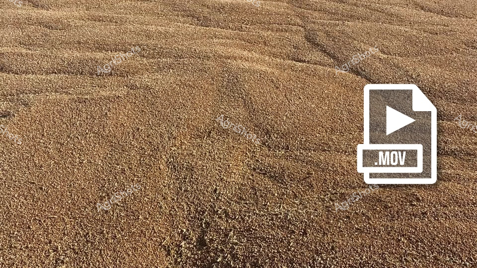
A rich, golden field of wheat stretches out, showcasing the bountiful harvest season. Rows of grain shimmer under the light, captured during a typical harvesting scene in New South Wales, with agricultural machinery like headers and chaser bins working to collect the crop efficiently.
 ▶ Video
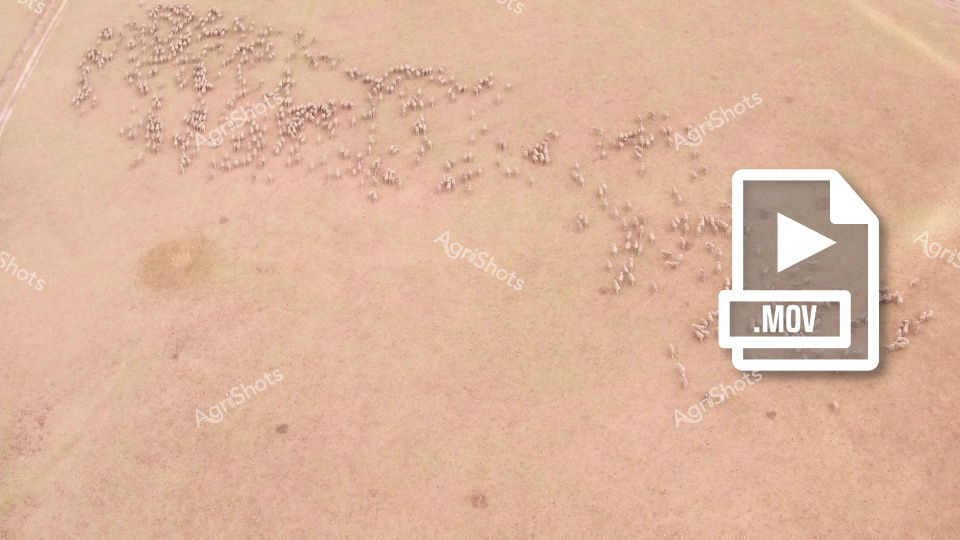
Aerial view of a large herd of sheep densely clustered on a dry, sandy-colored landscape, showcasing the scale of livestock farming in an arid region. The scattered groups of sheep create an organic, almost abstract pattern across the expansive, sun-baked terrain, highlighting the challenges and adaptability of agricultural practices in harsh environments.
 ▶ Video
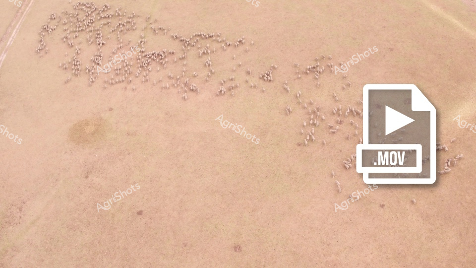
An aerial view captures a large herd of sheep scattered across a dry, dusty paddock, showcasing the expansive nature of pastoral farming. The tan-colored landscape appears arid, with the sheep clustered in small groups across the broad, textured terrain, highlighting the resilience of sheep farming in challenging environmental conditions.
 ▶ Video
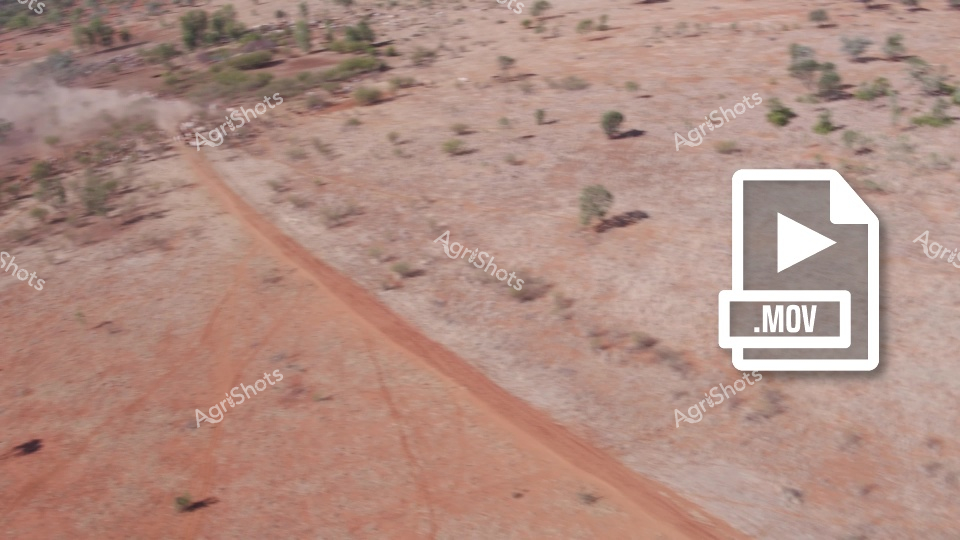
Aerial footage captures a dusty dirt road cutting through sparse bushland in rural Queensland, with scattered trees and shrubs dotting the arid landscape. The red earth track winds across the station property, typical of cattle country in Australia's beef producing regions. This remote mustering route provides access across the vast pastoral landscape, where stockmen would drive cattle between paddocks during station operations.
 Image
Image
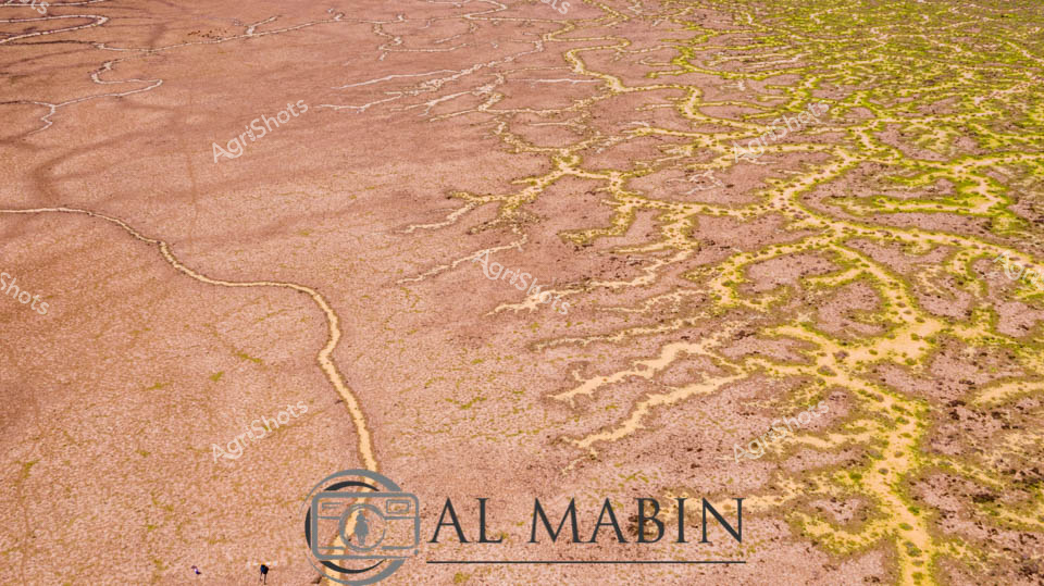
Serpentine waterways of russet and olive weave across an expansive inland landscape, capturing the ephemeral hydrology of Queensland's legendary Channel Country. Delicate green veins of vegetation trace the sinuous path of seasonal creek lines, revealing the intricate network of water channels that sustain this arid ecosystem during rare flooding events. The aerial perspective showcases the remarkable geological patterns formed by water movement across the terracotta-hued earth, where each branching stream tells a story of resilience and adaptation in one of Australia's most challenging agricultural environments. Windorah's distinctive terrain demonstrates nature's extraordinary capability to transform seemingly barren ground into a complex, living system through strategic water distribution. The muted earth tones of brown and yellow-green create a mesmerizing natural abstract, highlighting the sophisticated hydraulic architecture that supports pastoral life in remote Queensland. This image encapsulates the dramatic beauty of Australia's inland waterways, where every meandering line represents survival, growth, and the delicate balance of agricultural ecosystems.
 ▶ Video
Massive grain piles tower across the flat New South Wales landscape during wheat harvest, with a distinctive Brandt auger extending overhead to facilitate grain handling operations. A Kenworth truck and Toyota utility vehicle are positioned strategically around the storage site, highlighting the coordinated logistics required for modern broadacre grain operations. The golden wheat creates impressive mounds against the expansive rural backdrop, while machinery works efficiently to manage the substantial harvest volumes typical of the NSW grain belt during the busy harvesting period.
 ▶ Video
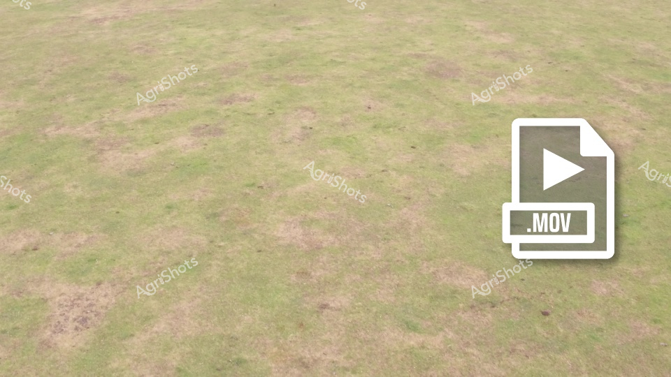
This aerial view captures a patchy pasture paddock in Western Australia, showing the characteristic mix of green grass and bare earth patches typical of grazing land. The uneven grass coverage indicates areas where cattle have been feeding, creating a mosaic pattern across the landscape. The varying vegetation density suggests seasonal growth patterns and livestock movement throughout this beef cattle property. This pastoral scene represents the extensive grazing systems commonly found across Western Australia's agricultural regions.