About this image
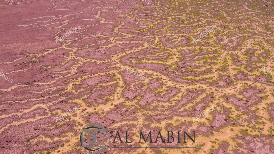
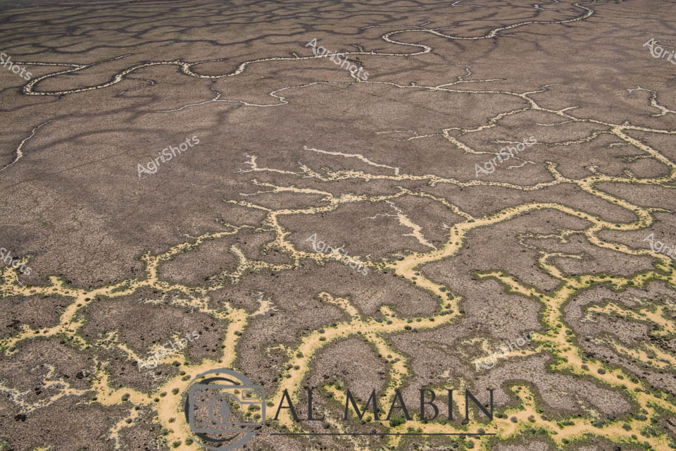
Serpentine waterways of rust-red earth and golden-green vegetation weave across a quintessential Channel Country landscape near Windorah in remote Queensland. Aerial photography reveals the intricate braided patterns of seasonal creek systems, where floodwaters have carved delicate networks across the arid station country. Rich ochre soils contrast beautifully with sparse vegetation, highlighting the extraordinary natural hydrology of this challenging agricultural terrain. The landscape speaks to the resilience of pastoral ecosystems, where water transforms barren ground into a complex tapestry of life during rare flooding events. Geological and ecological processes are captured in stunning detail, showing how water dynamically reshapes this harsh yet breathtaking Australian outback environment.
Similar media
 Image
Image
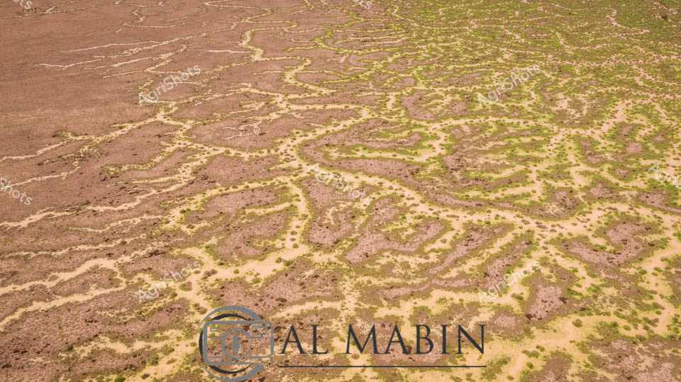
Aerial vista of Channel Country's ephemeral river system near Windorah, Queensland, revealing nature's intricate hydraulic artistry. Serpentine waterways trace delicate green-edged channels across an ochre landscape, demonstrating the extraordinary hydrology of Australia's arid interior. Seasonal flooding has transformed the dusty terrain into a complex network of interconnected streams, where sparse vegetation follows the moisture's meandering path. The landscape displays a mesmerizing pattern of brown earth interwoven with subtle green vegetation, highlighting the resilient ecosystem's adaptation to extreme environmental conditions. Each sinuous watercourse represents a lifeline through this harsh pastoral region, illustrating how water shapes and sustains life in one of the continent's most challenging agricultural environments. This remarkable aerial perspective captures the dynamic interaction between water, soil, and sparse vegetation in Queensland's remote Channel Country, a critical region for extensive beef cattle stations.
 Image
Image
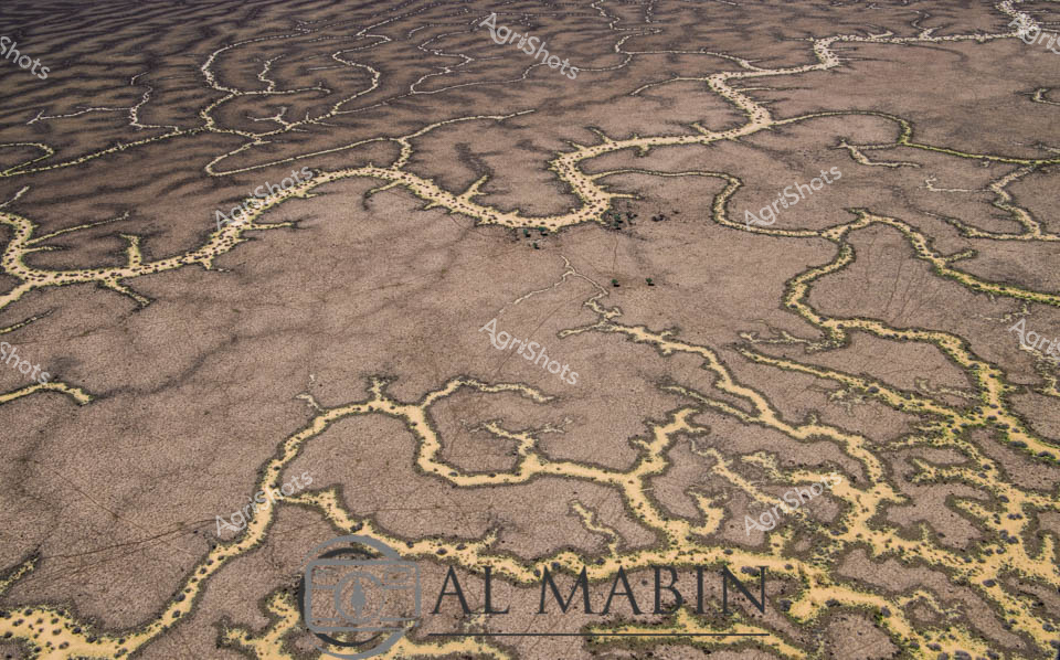
Meandering waterways carve intricate golden-edged channels across the parched earth of Queensland's Channel Country, revealing the dramatic hydrology of Australia's arid interior. Delicate ribbons of yellowed vegetation trace the ephemeral creek lines, highlighting the complex networks that carry precious water across this harsh landscape during rare flooding events. The aerial perspective transforms the landscape into an abstract topographical map, showcasing the resilient ecological patterns of inland Australia's beef station territories. Windorah's distinctive landscape emerges as a masterpiece of natural engineering, where water navigates through sun-baked terrain in serpentine patterns that speak to the region's extreme environmental conditions. These seasonal water flows are lifelines for remote pastoral operations, providing critical hydration for livestock and sustaining sparse vegetation in one of the continent's most challenging agricultural environments. The muted browns and subtle golden highlights capture the raw beauty of Queensland's inland watersheds, illustrating the delicate balance of survival in Australia's unforgiving outback.
 Image
Image
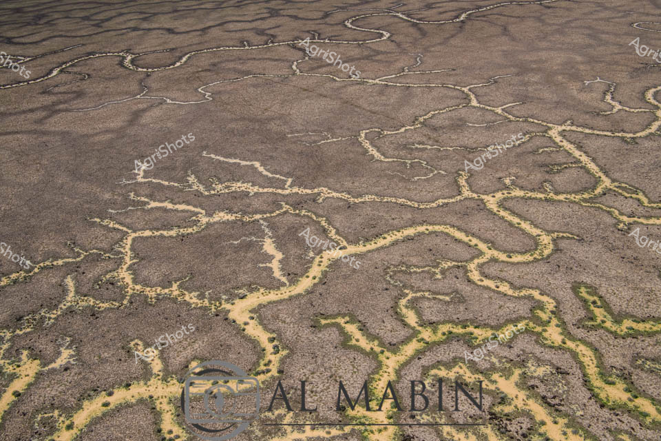
Aerial view of a braided network of water channels traversing an arid landscape, characteristic of Queensland's Channel Country. Intricate golden-yellow waterways wind and meander through a weathered grey-brown terrain, creating a natural map-like pattern that reveals the complex hydrology of this remote Australian landscape. The dry season's parched earth contrasts with the delicate veins of water, highlighting the resilience and dynamic nature of inland river systems during flood events. Subtle green vegetation edges the water channels, providing a hint of life in this otherwise stark environment. The image captures the essence of remote pastoral landscapes, where water management and seasonal flooding are critical to the survival of cattle stations and the unique ecosystem of inland Australia. This aerial perspective offers a stunning visualization of the intricate water distribution networks that define the breathtaking Channel Country region near Windorah in Queensland.
 Image
Image
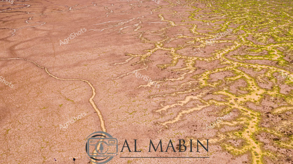
Serpentine waterways of russet and olive weave across an expansive inland landscape, capturing the ephemeral hydrology of Queensland's legendary Channel Country. Delicate green veins of vegetation trace the sinuous path of seasonal creek lines, revealing the intricate network of water channels that sustain this arid ecosystem during rare flooding events. The aerial perspective showcases the remarkable geological patterns formed by water movement across the terracotta-hued earth, where each branching stream tells a story of resilience and adaptation in one of Australia's most challenging agricultural environments. Windorah's distinctive terrain demonstrates nature's extraordinary capability to transform seemingly barren ground into a complex, living system through strategic water distribution. The muted earth tones of brown and yellow-green create a mesmerizing natural abstract, highlighting the sophisticated hydraulic architecture that supports pastoral life in remote Queensland. This image encapsulates the dramatic beauty of Australia's inland waterways, where every meandering line represents survival, growth, and the delicate balance of agricultural ecosystems.
 Image
Image
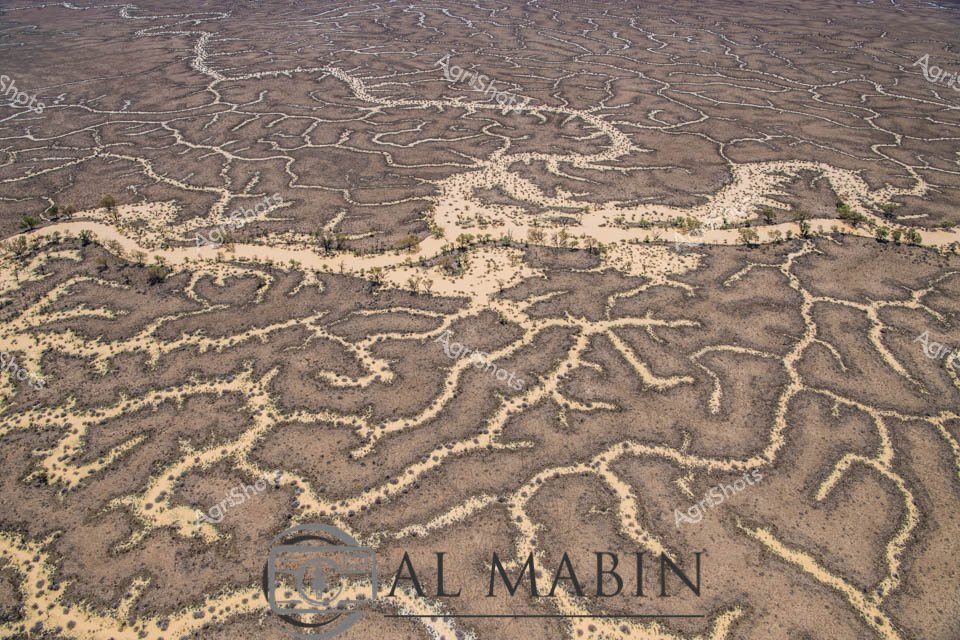
Aerial view of The Channel Country, revealing the intricate network of ephemeral waterways that define this remarkable Queensland landscape. Serpentine channels of pale sand weave through dark earth, creating a mesmerizing natural pattern that resembles delicate river veins across the arid terrain. Sparse vegetation of muted yellows and greens punctuates the landscape, highlighting the resilience of life in this harsh environment. The waterways, etched by seasonal floods, showcase the dynamic hydrology of Australia's inland river systems, where water becomes a transformative force shaping the landscape. These braided channels are critical to the survival of beef cattle stations, providing essential water resources and creating unique grazing corridors in the remote outback. The image captures the raw, elemental beauty of Queensland's remote interior, where water's intermittent presence sculpts a living, breathing geographical masterpiece.
 Image
Image
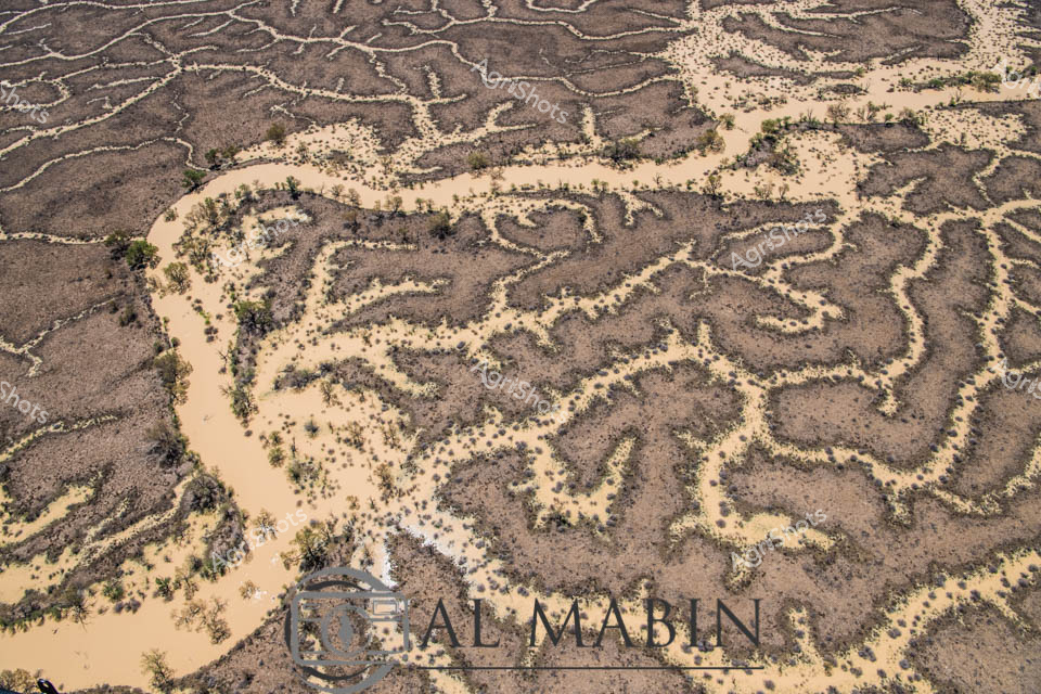
This aerial image captures an intricate network of waterways and channels winding through arid terrain, typical of Queensland's Channel Country. Sandy-colored water pathways snake between dark earth and sparse vegetation, creating a complex, maze-like pattern that reveals the dynamic hydrology of this remote landscape. The natural water distribution system demonstrates the resilient ecosystem of Australia's inland regions, with intermittent vegetation highlighting the delicate balance of water and land in this harsh environment.
 Image
Image
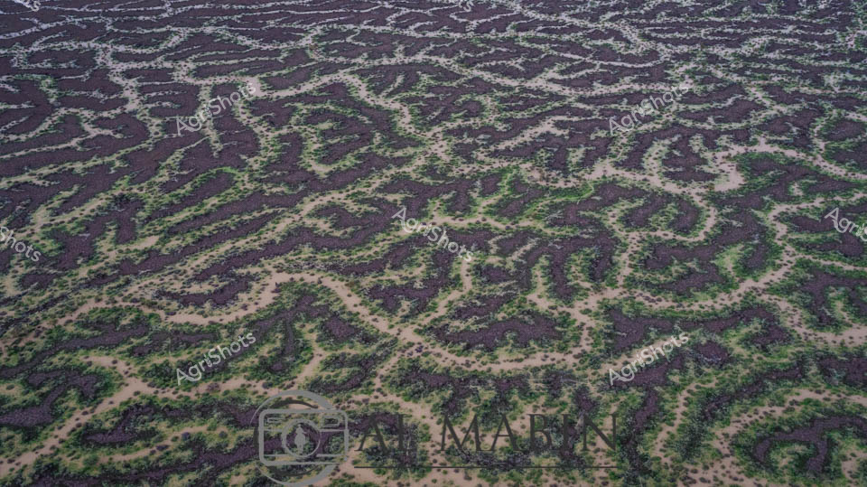
Aerial panorama of Channel Country's intricate water channels near Windorah, Queensland, revealing the mesmerizing natural irrigation patterns of arid western landscapes. Deep purple-brown earth intertwines with delicate green vegetation, creating an organic, lace-like topography that demonstrates the resilient ecosystem of Australia's inland waterways. Serpentine waterways trace complex networks across the terrain, highlighting the ephemeral nature of water in this challenging environment, where every drop is precious for sustaining pastoral life. The seasonal flooding has transformed the stark landscape into a vibrant, interconnected system of life-giving channels, showcasing the remarkable adaptation of both landscape and agricultural practices to extreme climatic conditions. Soft sandy edges blend with dark soil and scattered greenery, creating a natural camouflage that speaks to the subtle beauty of Queensland's remote interior. This breathtaking aerial perspective captures the delicate balance between aridity and abundance in one of Australia's most distinctive agricultural regions.
 Image
Image
Aerial view of Channel Country's intricate water network, revealing the lifeblood of Queensland's arid pastoral landscapes. Serpentine waterways trace delicate golden-edged patterns across a weathered grey terrain, creating an organic network that resembles complex veins traversing dry earth. These ephemeral creek channels, characteristic of inland Australia's flood plains, demonstrate nature's remarkable hydraulic engineering during seasonal inundation. Soft yellowed vegetation punctuates the margins of these waterways, highlighting the subtle transition between water and land in this harsh yet resilient ecosystem. The aerial perspective captures the immense scale and fragile beauty of inland waterways that sustain vast cattle stations and support unique desert ecosystems. This landscape represents the extraordinary adaptive strategies of Australian agricultural environments, where water management is crucial to survival.