About this image
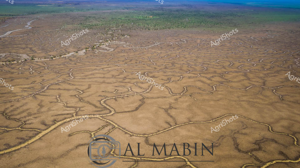
Serpentine waterways carve an intricate network across the arid Channel Country landscape, revealing the complex hydrology of Australia's remote western Queensland. A vast floodplain stretches toward distant green woodland horizons, its surface etched with sinuous creek lines and sandy channels that capture ephemeral water flows during rare rainfall events. The aerial perspective showcases the delicate branching patterns of natural drainage systems, where seasonal flooding transforms this seemingly barren terrain into a dynamic ecological canvas of golden browns and subtle earth tones. These meandering waterways are lifelines for pastoral stations, providing critical moisture to support sparse vegetation and sustain livestock across this challenging semi-arid environment. The intricate geographic texture tells a story of geological patience, where water has slowly sculptured the landscape over millennia, creating a remarkable topographical fingerprint visible only from high above. This expansive view captures the raw beauty of Australia's inland waterways, demonstrating the resilient and adaptive nature of the continent's interior ecosystems.
Similar media
 Image
Image
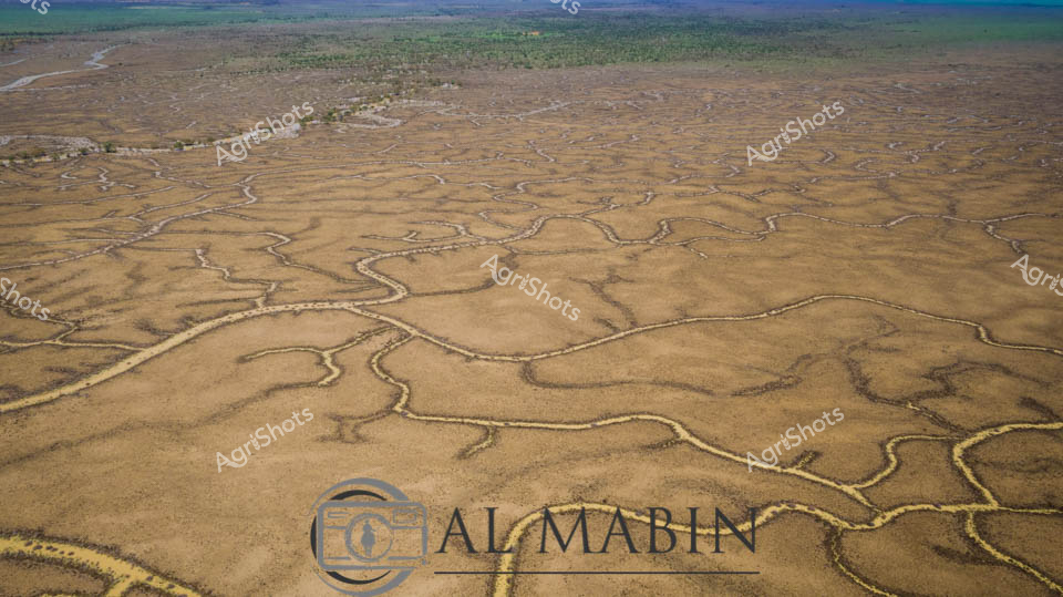
An aerial view reveals the intricate, serpentine waterways of Channel Country in Queensland, where dry creek beds and floodplains create a mesmerizing network of sinuous lines across the arid landscape. The branching water channels, etched into the dusty earth, showcase the complex hydrology of this remote Australian region, highlighting the resilient geography that supports pastoral activities during seasonal flooding. Green vegetation clusters along the horizon, contrasting with the golden-brown tones of the expansive, water-carved terrain.
 Image
Image
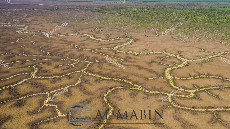
Serpentine ribbons of golden water wind through the parched ochre landscape of Queensland's Channel Country, revealing the intricate seasonal dance of inland rivers during a rare flooding event. Delicate yellow-green waterways trace meandering paths across the dusty brown earth, creating an extraordinary living map of hydraulic arteries that breathe life into this arid pastoral region. The aerial perspective captures the extraordinary resilience of this landscape, where ephemeral waterways transform seemingly barren ground into a complex ecological system that sustains vast cattle stations and unique inland ecosystems. Subtle variations of tan, amber, and sage reveal the nuanced topography - a mosaic of drought-hardened ground interwoven with rejuvenating water channels that represent the critical lifelines of remote Australian pastoral landscapes. This extraordinary image documents the dynamic hydrology of Channel Country, where water becomes a sculptural force reshaping the terrain and supporting generations of agricultural adaptation. The photograph speaks to the fundamental rhythms of inland Australia - cycles of aridity and abundance that have shaped both the landscape and the agricultural practices of this remarkable continent.
 Image
Image
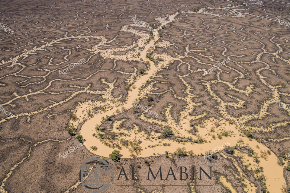
An intricate aerial view of a meandering waterway carving through arid Channel Country in Queensland, revealing the complex hydrology of a flood plain. Sandy-colored water branches across the landscape in sinuous channels, creating an organic network of waterways lined with sparse vegetation and surrounded by rich, textured earth tones. The image captures the ephemeral nature of water in this remote Australian landscape, highlighting the delicate ecological systems of inland river systems.
 Image
Image
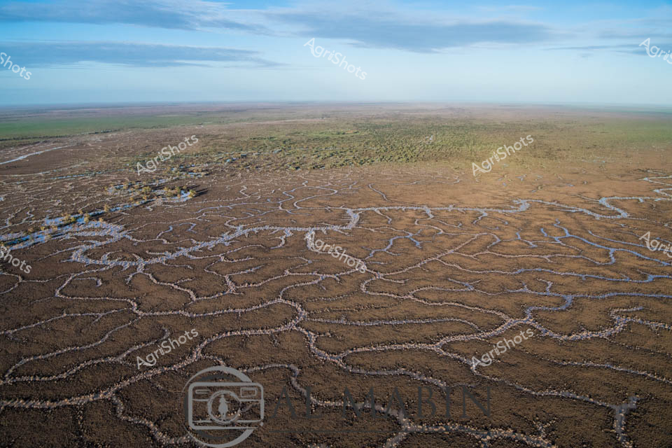
Aerial view of Channel Country's intricate waterways near Windorah, Queensland, revealing the mesmerizing natural irrigation system of this arid pastoral landscape. Sinuous blue channels weave through the russet-brown earth like delicate silver threads, tracing the ephemeral path of seasonal floodwaters across the expansive plains. The landscape transforms into a complex network of braided streams, creating natural water distribution channels that sustain sparse vegetation and support extensive beef cattle stations during rare flooding events. Soft blue skies blend with the earthy tones of the terrain, highlighting the stark beauty of Australia's inland waterways and the remarkable adaptability of its agricultural ecosystems. These natural water management systems demonstrate the intricate relationship between water, land, and livestock survival in one of the continent's most challenging agricultural environments. The photograph captures the subtle resilience of Channel Country - a testament to the sophisticated hydrological patterns that enable pastoral agriculture in remote Queensland's unforgiving landscape.
 Image
Image
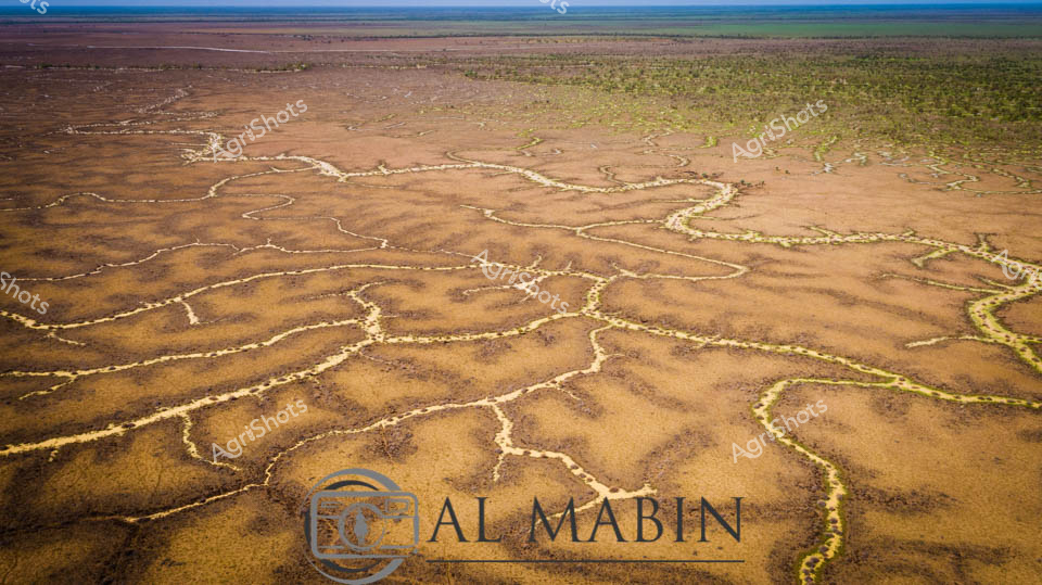
Serpentine waterways trace golden-brown earth like delicate veins across the expansive Channel Country landscape. Aerial perspective reveals the intricate network of ephemeral creek lines spreading across the arid Queensland landscape, where subtle green vegetation marks the moisture-rich pathways. The seasonal flooding has transformed the dusty plains into a complex hydrology of interconnected waterways, highlighting the dramatic seasonal transformations of Australia's inland pastoral regions. Windorah's distinctive landscape unfolds in earthy ochres and muted greens, showcasing the resilient ecosystem of remote western Queensland. Subtle variations in terrain create a mesmerizing topographic pattern, where water's ancient pathways carve intricate routes through the station country. The image captures the breathtaking scale and delicate ecological balance of Australia's inland water systems, where every rainfall and flood cycle reshapes the terrain in a timeless dance of renewal and survival.
 Image
Image
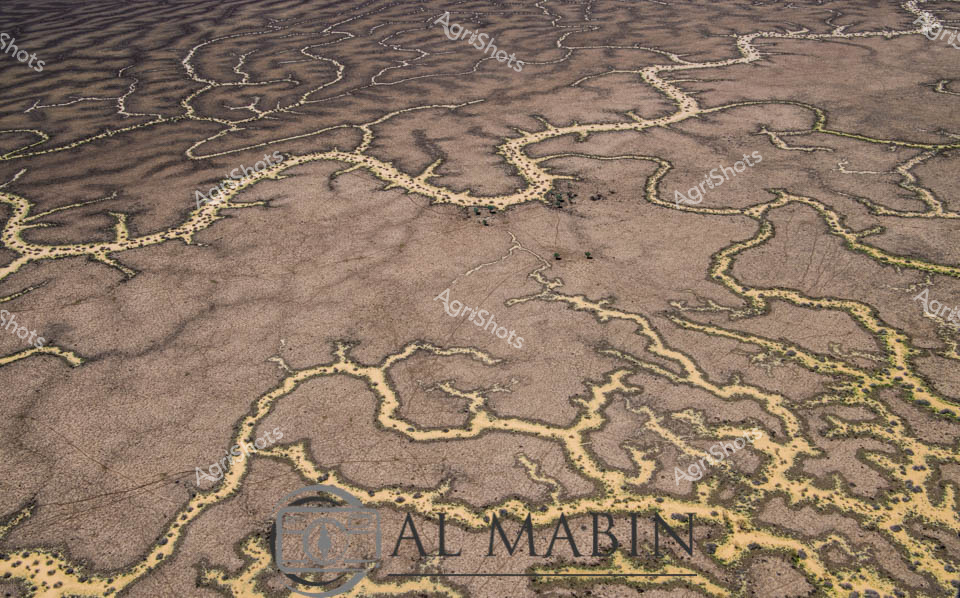
Meandering waterways carve intricate golden-edged channels across the parched earth of Queensland's Channel Country, revealing the dramatic hydrology of Australia's arid interior. Delicate ribbons of yellowed vegetation trace the ephemeral creek lines, highlighting the complex networks that carry precious water across this harsh landscape during rare flooding events. The aerial perspective transforms the landscape into an abstract topographical map, showcasing the resilient ecological patterns of inland Australia's beef station territories. Windorah's distinctive landscape emerges as a masterpiece of natural engineering, where water navigates through sun-baked terrain in serpentine patterns that speak to the region's extreme environmental conditions. These seasonal water flows are lifelines for remote pastoral operations, providing critical hydration for livestock and sustaining sparse vegetation in one of the continent's most challenging agricultural environments. The muted browns and subtle golden highlights capture the raw beauty of Queensland's inland watersheds, illustrating the delicate balance of survival in Australia's unforgiving outback.
 Image
Image
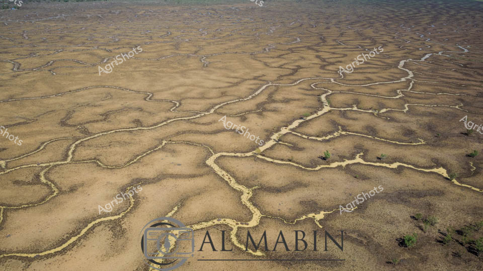
Serpentine waterways weave across a sun-baked Channel Country landscape, revealing the intricate network of ephemeral creek systems that define Queensland's arid pastoral regions. The aerial perspective captures the delicate golden and ochre tendrils of water channels meandering across the dusty earth, creating an organic, vein-like pattern that speaks to the fragile hydrology of this remote Australian terrain. Each sinuous waterway traces a path of potential life through the seemingly barren landscape, highlighting the critical importance of seasonal flooding in supporting livestock grazing and ecosystem survival in these harsh western Queensland stations. Subtle variations of tan, amber, and pale yellow create a nuanced topographical canvas, with sparse vegetation offering rare punctuations of green against the predominantly earth-toned backdrop. This image epitomizes the resilience and dynamic nature of Australian pastoral landscapes, where water is both a precious resource and a transformative geological force.
 Image
Image
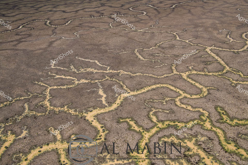
Aerial view of a braided network of water channels traversing an arid landscape, characteristic of Queensland's Channel Country. Intricate golden-yellow waterways wind and meander through a weathered grey-brown terrain, creating a natural map-like pattern that reveals the complex hydrology of this remote Australian landscape. The dry season's parched earth contrasts with the delicate veins of water, highlighting the resilience and dynamic nature of inland river systems during flood events. Subtle green vegetation edges the water channels, providing a hint of life in this otherwise stark environment. The image captures the essence of remote pastoral landscapes, where water management and seasonal flooding are critical to the survival of cattle stations and the unique ecosystem of inland Australia. This aerial perspective offers a stunning visualization of the intricate water distribution networks that define the breathtaking Channel Country region near Windorah in Queensland.