Results for “agricultural events”
 Image
Image
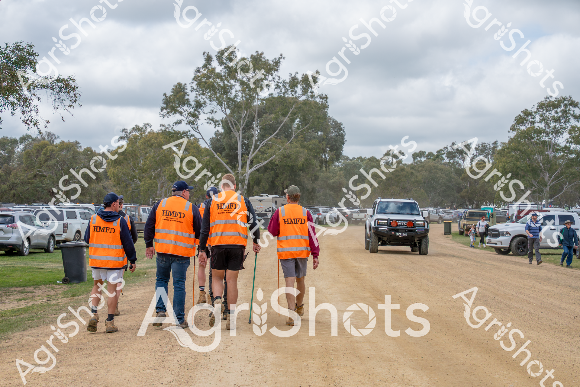
A group of workers wearing bright orange high-visibility safety vests marked "HMFD" walk along a dirt road at a rural event, with parked vehicles and trees in the background. These volunteers appear to be part of the event management team at the Henty Field Days, an agricultural showcase in the Riverina region of New South Wales, working to ensure safety and smooth operations during the spring event.
 Image
Image
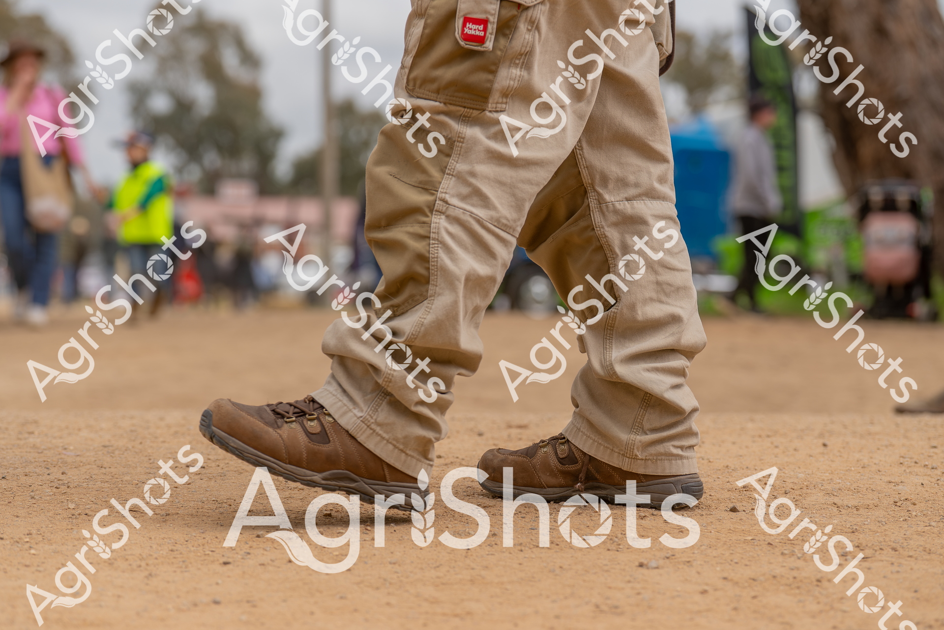
At the Henty Field Days in New South Wales, a close-up view captures rugged work boots and khaki pants standing on dusty ground. The image showcases the practical workwear typical of agricultural events in the Riverina region during springtime, with blurred figures and equipment visible in the background.
 Image
Image
At the Henty Field Days in New South Wales, two individuals stand on dusty ground, showcasing rugged work boots adorned with colorful patterned gaiters. The scene captures the essence of agricultural events in the Riverina region during springtime, with their legs and footwear representing the practical and vibrant spirit of rural Australia.
 Image
Image
The image captures a scene from the Henty Field Days in New South Wales, showing a crowd of people walking along a dirt path surrounded by trees. Attendees wear casual country attire, including jeans, jackets, and sun hats, reflecting the agricultural event's rural character. The overcast sky and scattered crowd suggest a typical spring day at this important agricultural showcase in the Riverina Region.
 Image
Image
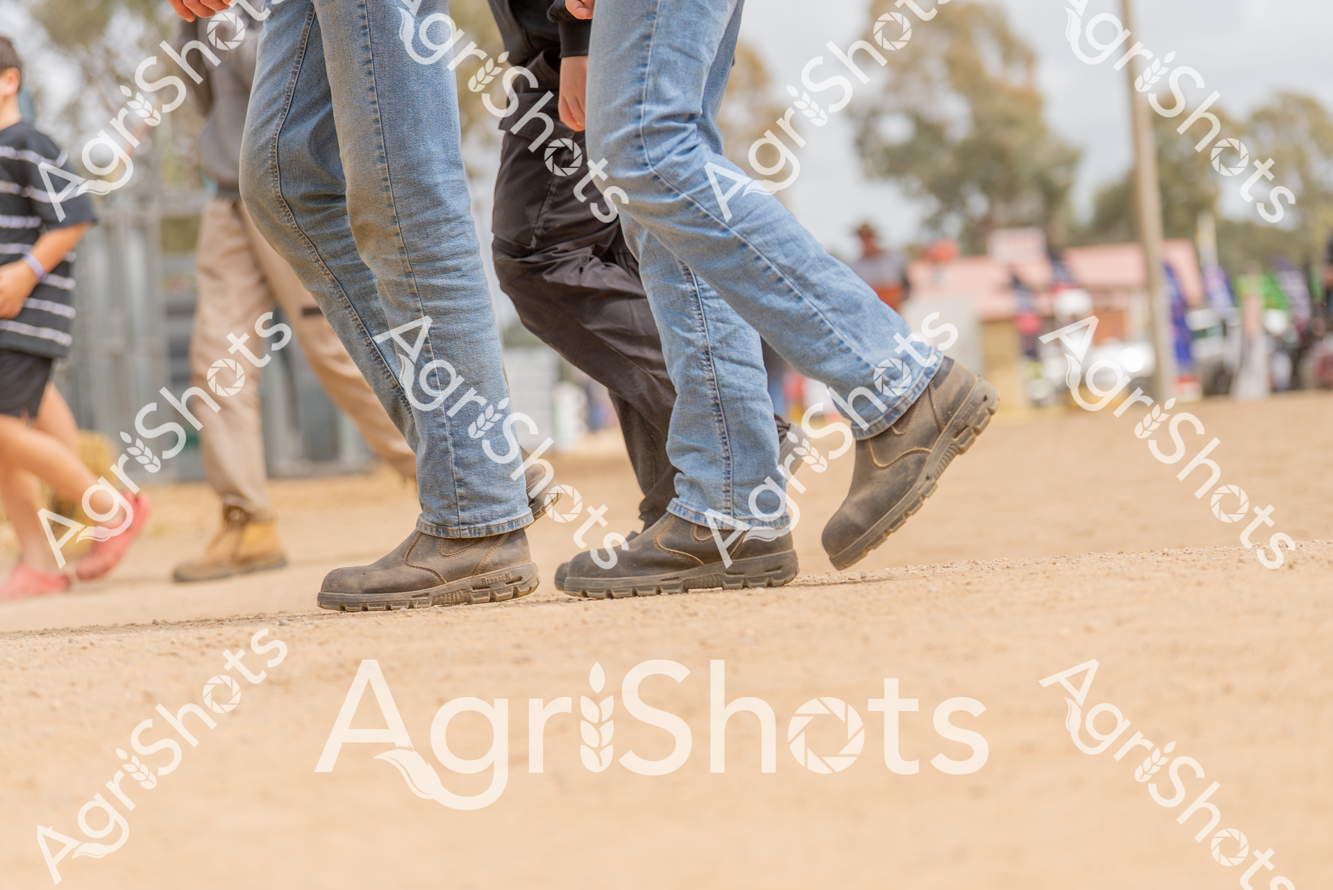
At the Henty Field Days in New South Wales, two people stand on dusty ground wearing blue denim jeans and rugged work boots. The close-up image captures the legs and footwear typical of agricultural events in the Riverina region during springtime, showcasing the practical attire of farmers and agricultural professionals.
 Image
Image
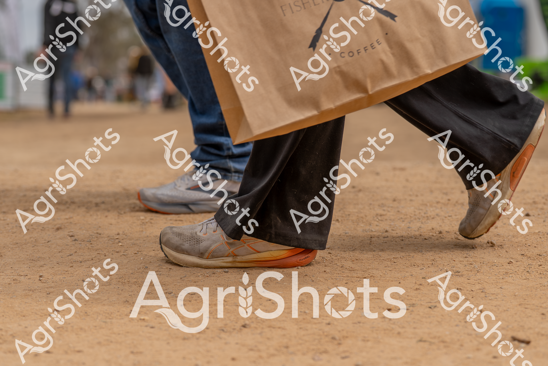
Walking across dusty ground, these sturdy work boots showcase the practical footwear typical of agricultural events like the Henty Field Days in New South Wales. The rugged shoes, paired with dark pants and a coffee shop bag, highlight the blend of rural work and modern convenience found at regional agricultural gatherings in the Riverina region during springtime.
 Image
Image
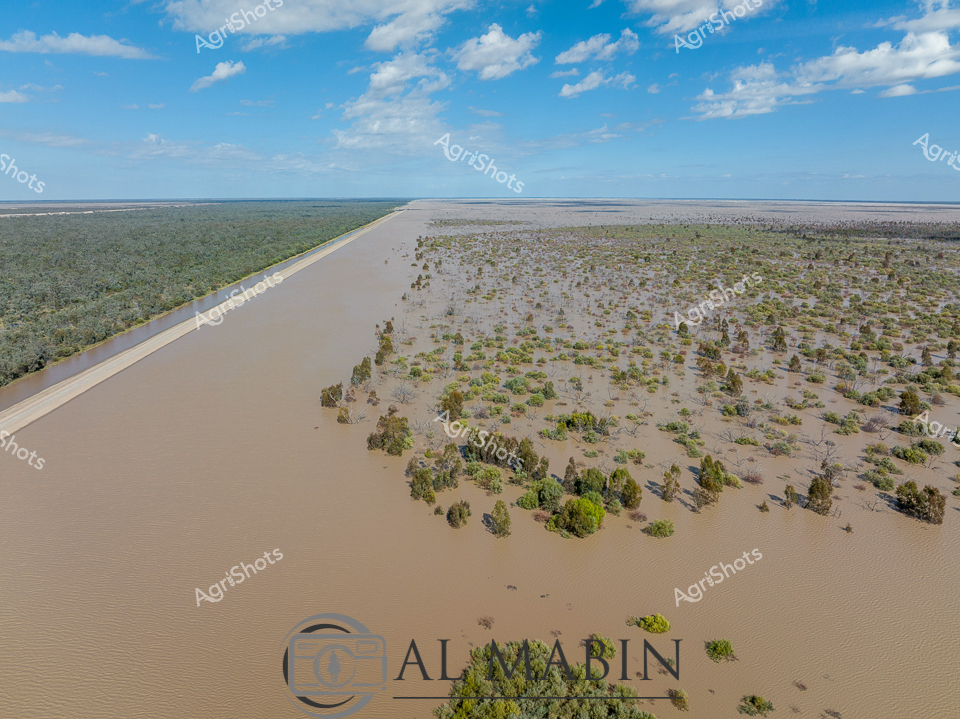
Floodplains of the Balonne: Inundation and Agricultural Resilience A vast inland waterscape stretches across the Queensland landscape, where murky flood waters have transformed the arid terrain into a scattered archipelago of verdant vegetation. The precisely engineered irrigation channel cuts a stark, geometrically perfect line through the organic chaos of the submerged landscape, a testament to human agricultural intervention in a challenging environment. Clusters of green-leafed trees emerge like small islands from the muddy waters, their canopies providing the only vertical relief in this expansive horizontal panorama. The sky above is a brilliant azure, punctuated by soft cumulus clouds that mirror the textural complexity of the flooded terrain below. This aerial perspective reveals the dramatic transformation of agricultural land during flood events, showcasing both the vulnerability and adaptive capacity of Queensland's farming ecosystems. The image captures a moment of natural disruption, where water becomes a powerful sculptural force reshaping the agricultural landscape, presenting both challenge and opportunity for rural communities.
 Image
Image
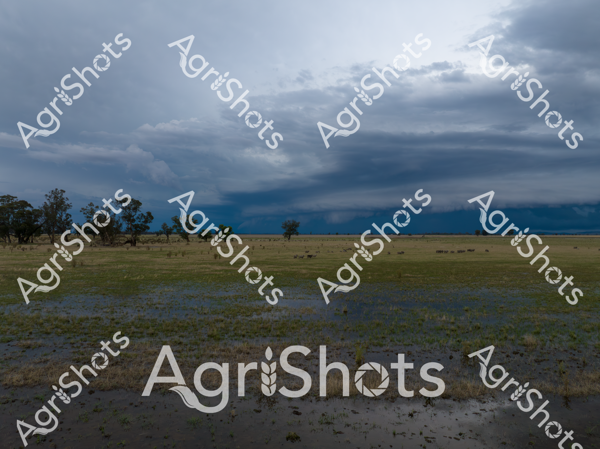
Storm-darkened skies hover over a waterlogged pastoral landscape in the Riverina region of New South Wales, where recent flooding has transformed the grasslands into a reflective inland sea. Scattered eucalyptus trees punctuate the vast, saturated plain, their silvery-green foliage standing sentinel over a small mob of merino sheep grazing amid the shallow waters. The dramatic cloudscape creates a moody, slate-blue backdrop that stretches across the horizon, casting an atmospheric tension over the sodden paddock. Floodwaters mirror the turbulent sky, creating a seamless blend of grey and blue that highlights the resilience of the Australian agricultural landscape during extreme weather events. Sparse vegetation emerges through the water's surface, suggesting the underlying pasture's capacity to endure and regenerate. This evocative scene captures the raw beauty and challenging conditions of rural Australian farming, where livestock and landscape must adapt to the mercurial nature of the continent's climate.
 Image
Image
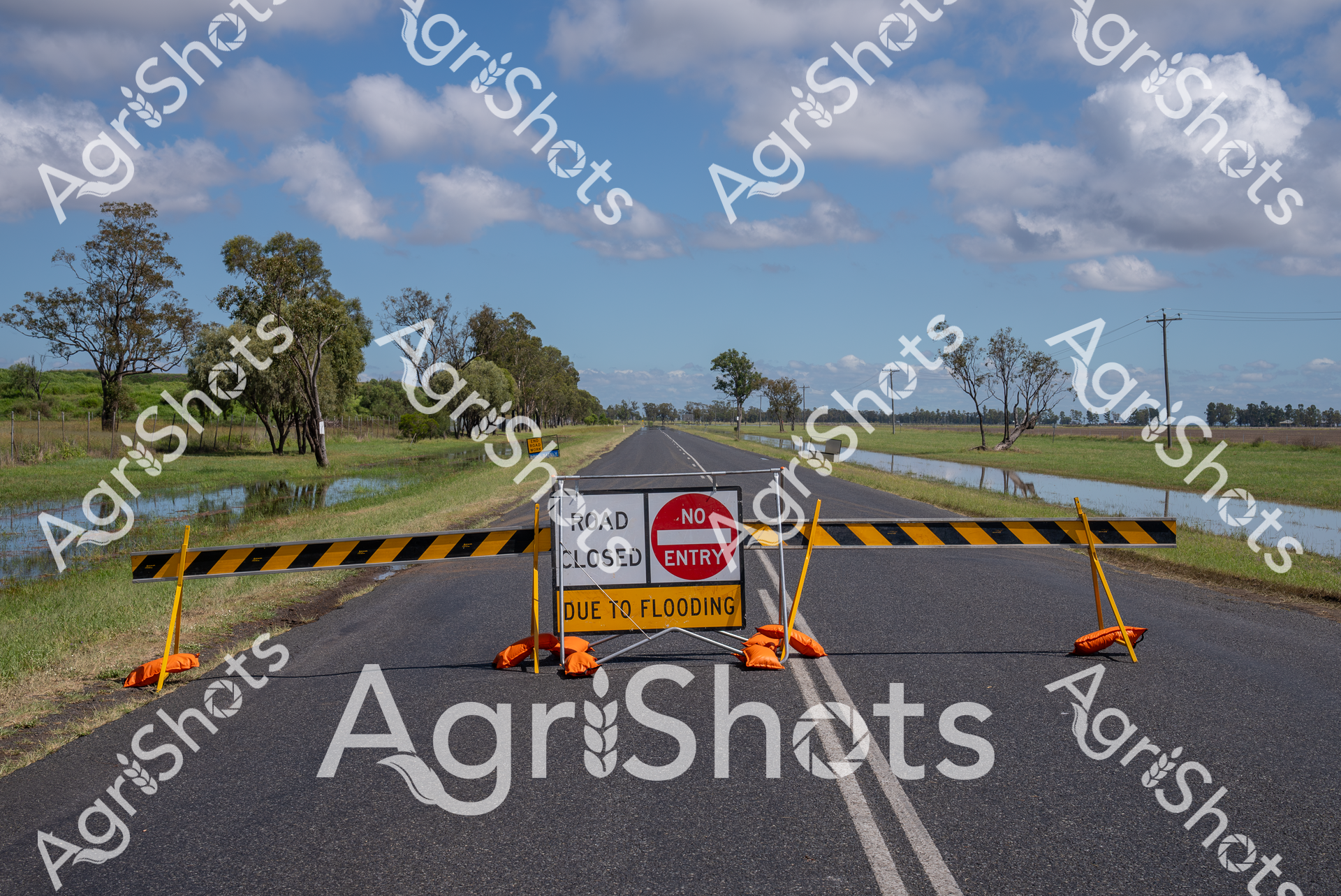
Rural Queensland Flood Crisis: Road Closure Reveals Landscape Resilience A stark testament to the Darling Downs region's seasonal challenges, this roadway stands submerged and blocked, yellow and black barricades firmly preventing passage amid widespread flooding. Expansive floodwaters breach the roadside, reflecting the surrounding eucalyptus woodland and scattered gum trees under a luminous blue sky scattered with billowing cumulus clouds. The "Road Closed" and "No Entry" signs emerge as critical safety markers, highlighting the unpredictable nature of agricultural landscapes during extreme weather events. Yellow and black striped barriers punctuated by vivid orange warning bases create a dramatic visual barrier against the asphalt, symbolizing the constant negotiation between human infrastructure and natural environmental forces. Soft green grasslands and waterlogged paddocks frame the scene, demonstrating the Darling Downs' complex ecosystem where agricultural productivity coexists with periodic inundation. This powerful image captures a moment of environmental transformation, where water reconfigures the rural landscape and demands human adaptation.
 Image
Image
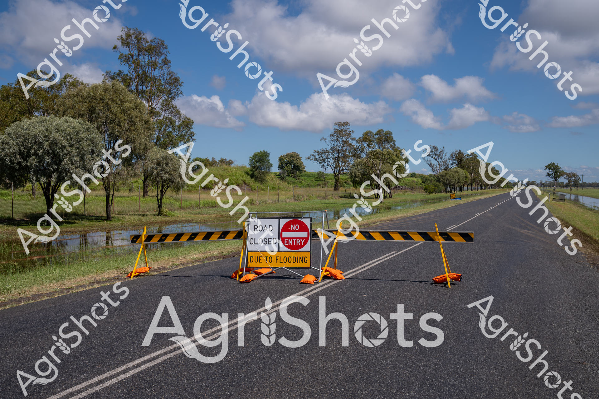
Rural Infrastructure and Flood Management: Darling Downs A critical moment of agricultural landscape resilience unfolds on this rain-soaked rural highway in Queensland's Darling Downs region. Vivid yellow and black road closure barriers block the asphalt roadway, flanked by a stark red "No Entry" sign declaring the route impassable due to flooding. Surrounding native eucalyptus trees stand sentinel across a waterlogged landscape, their silvery-green foliage contrasting against a luminous blue sky punctuated with billowing white clouds. Floodwaters have crept across the grassy verges, transforming the roadside into a reflective temporary wetland that underscores the dynamic and unpredictable nature of rural environmental conditions. These safety barriers represent more than an obstruction - they embody the critical infrastructure and quick response mechanisms that protect agricultural communities during extreme weather events. The scene captures the intersection of natural challenge and human preparedness, where road safety protocols and emergency management ensure the protection of critical transportation networks vital to regional agricultural operations.
 Image
Image
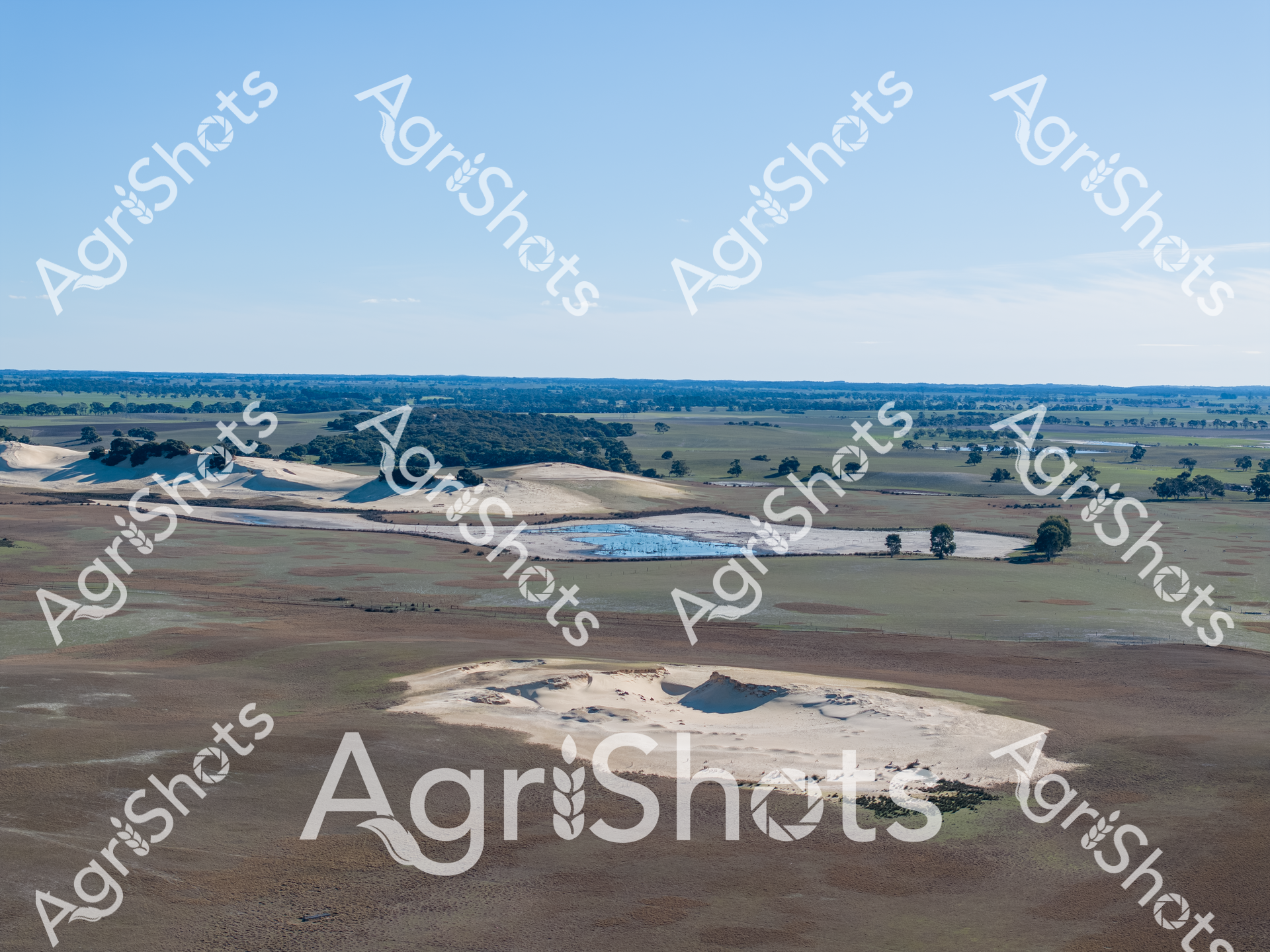
Windswept and parched, the South Australian agricultural landscape reveals the harsh realities of drought in the region's southeast. Sandy-hued earth stretches across undulating paddocks, punctuated by isolated clusters of weathered gum trees casting long shadows under a pale winter sky. Exposed white-gray soil areas contrast sharply with the muted green and brown tones of drought-stressed pastures, highlighting the environmental stress on this rural terrain. A large water storage dam reflects a brilliant blue, a critical lifeline for farmers battling prolonged dry conditions. Scattered remnant vegetation and carefully positioned farm infrastructure hint at generations of agricultural resilience in this challenging ecosystem. The panoramic view captures the raw vulnerability of agricultural landscapes during extreme climate events, where every patch of ground tells a story of survival, adaptation, and the unrelenting spirit of Australian farmers.
 Image
Image
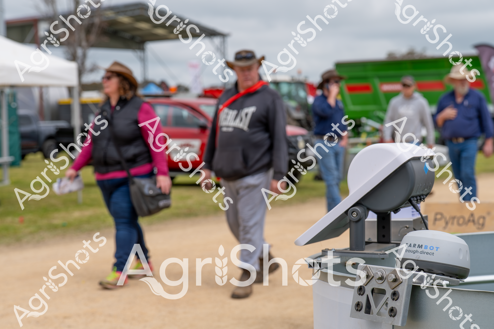
At the Henty Field Days in New South Wales, attendees explore agricultural innovations against a backdrop of farm machinery and demonstration areas. A Farmbot agricultural technology device sits in the foreground, highlighting the event's focus on cutting-edge farming solutions in the Riverina region during the spring season.
 Image
Image
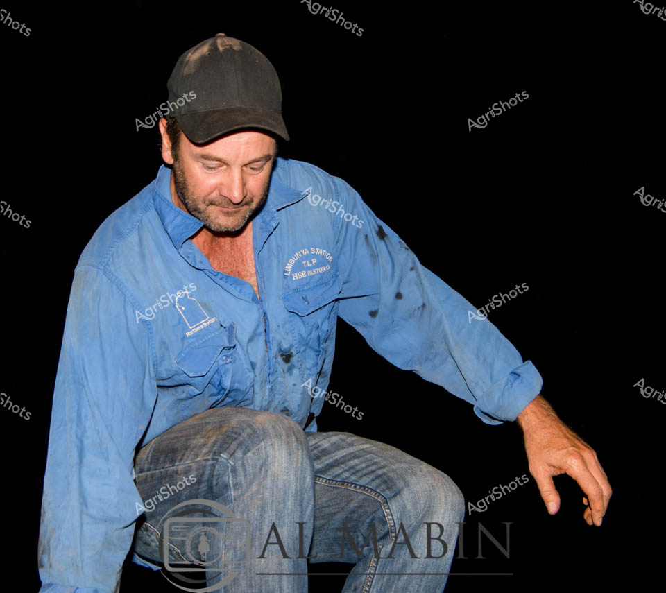
A man working as a presenter sits on stage wearing a blue work shirt and cap, gesturing with his hand during what appears to be an agricultural demonstration or educational session. His casual rural attire and engaged posture suggest he's sharing knowledge about farming practices or station operations with an audience. The dark background focuses attention on the presenter, highlighting the intimate, educational nature of the presentation. This type of agricultural education and knowledge sharing is common at rural industry events and cattle station workshops throughout Northern Territory pastoral regions.
 Image
Image
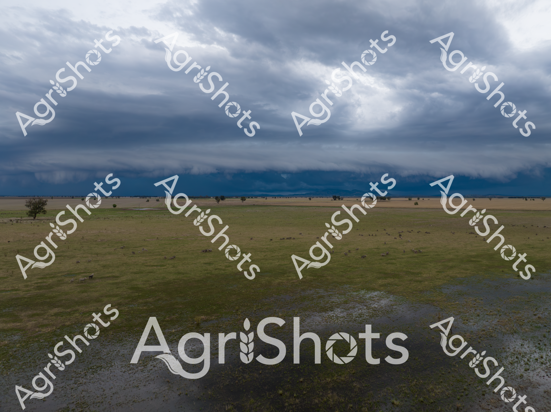
Thunderheads gather with ominous intensity over the expansive Riverina floodplain, casting a slate-gray palette across the waterlogged grasslands. Late summer's dramatic atmospheric display transforms the pastoral landscape into a stunning tableau of elemental power, with shallow flood waters reflecting the turbulent sky and creating a mirror-like surface across the verdant pasture. Isolated eucalyptus trees punctuate the flat horizon, standing as stoic sentinels amid the emerging inundation, their silhouettes sharp against the bruised cloudscape. The scene captures the raw, unpredictable nature of agricultural environments in southern New South Wales, where extreme weather events can rapidly reshape the rural terrain. Sodden paddocks stretch toward distant mountain ranges, now partially obscured by the approaching storm front, highlighting the dynamic and sometimes harsh conditions farmers must navigate. This powerful image encapsulates the resilience of the agricultural landscape, where water - both a critical resource and potential threat - plays a defining role in the rhythm of rural life.
 Image
Image
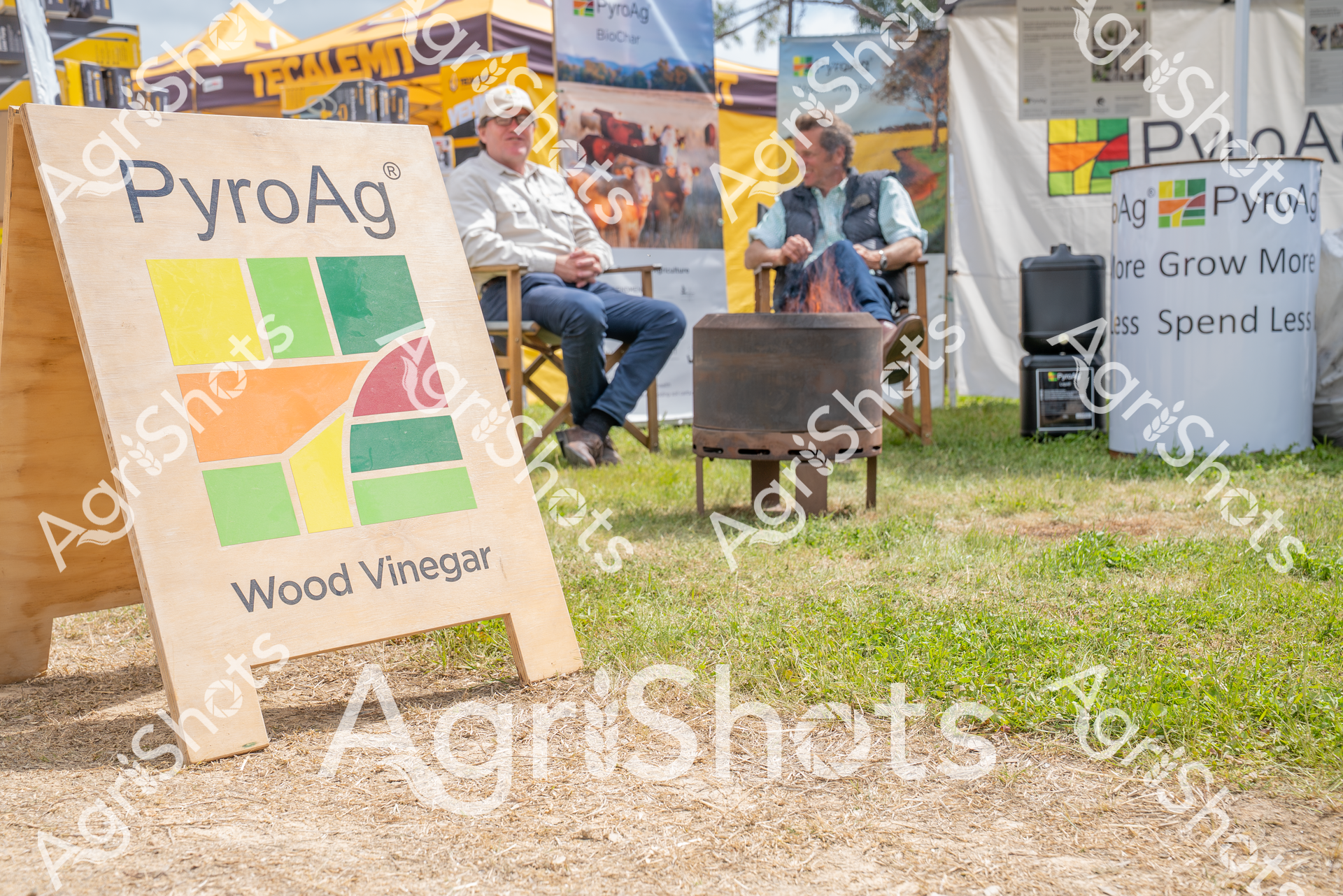
At the Henty Field Days in New South Wales, two men sit beside a PyroAg Wood Vinegar display, discussing agricultural innovations. The outdoor setting showcases yellow-themed event tents and a rustic fire pit, highlighting the event's focus on farming technologies and sustainable practices in the Riverina region during springtime.
 Image
Image
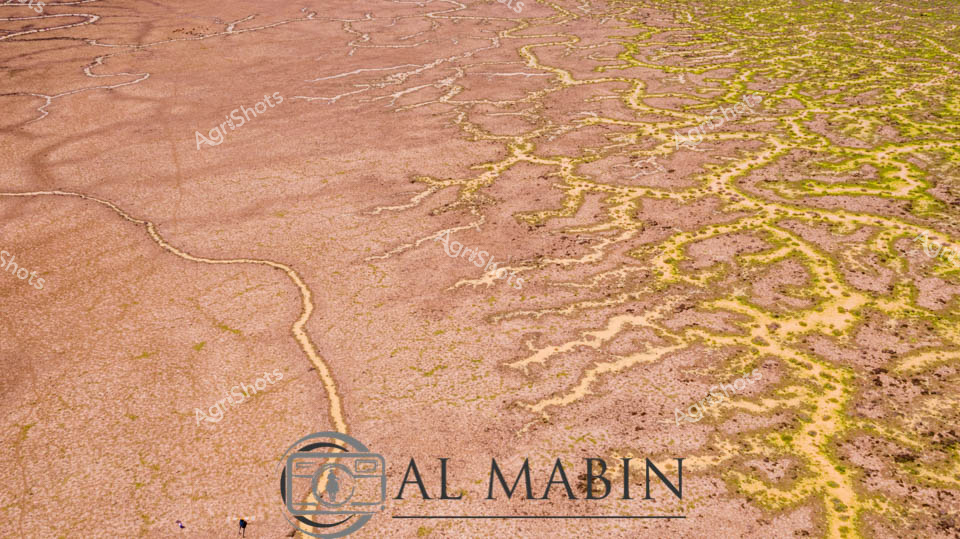
Serpentine waterways of russet and olive weave across an expansive inland landscape, capturing the ephemeral hydrology of Queensland's legendary Channel Country. Delicate green veins of vegetation trace the sinuous path of seasonal creek lines, revealing the intricate network of water channels that sustain this arid ecosystem during rare flooding events. The aerial perspective showcases the remarkable geological patterns formed by water movement across the terracotta-hued earth, where each branching stream tells a story of resilience and adaptation in one of Australia's most challenging agricultural environments. Windorah's distinctive terrain demonstrates nature's extraordinary capability to transform seemingly barren ground into a complex, living system through strategic water distribution. The muted earth tones of brown and yellow-green create a mesmerizing natural abstract, highlighting the sophisticated hydraulic architecture that supports pastoral life in remote Queensland. This image encapsulates the dramatic beauty of Australia's inland waterways, where every meandering line represents survival, growth, and the delicate balance of agricultural ecosystems.
 Image
Image
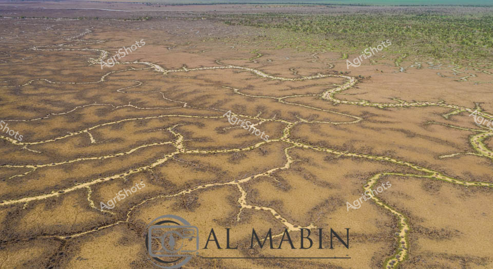
Branching waterways weave an intricate network across the parched Channel Country landscape, revealing the ephemeral lifelines of Queensland's remote interior. Limestone-edged creek lines trace delicate golden-green pathways through ochre and umber plains, capturing the subtle hydrology of an arid pastoral ecosystem. During rare flood events, these seemingly fragile watercourses transform the landscape, carrying vital moisture across vast cattle station territories and sustaining native grasses that support extensive beef production. The aerial perspective unveils a natural irrigation system where water navigates subtle topographical contours, creating a mesmerizing organic pattern that speaks to the resilience of Australia's inland agricultural environments. Soft green vegetation clusters along the watercourse edges contrast with the dominant brown earth, highlighting the critical role of water in this unforgiving terrain.
 Image
Image
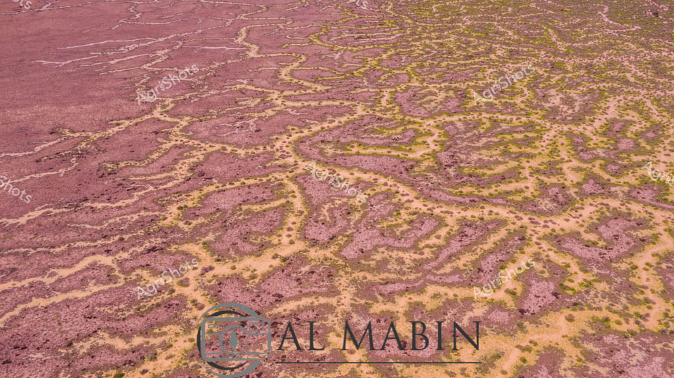
Serpentine waterways of rust-red earth and golden-green vegetation weave across a quintessential Channel Country landscape near Windorah in remote Queensland. Aerial photography reveals the intricate braided patterns of seasonal creek systems, where floodwaters have carved delicate networks across the arid station country. Rich ochre soils contrast beautifully with sparse vegetation, highlighting the extraordinary natural hydrology of this challenging agricultural terrain. The landscape speaks to the resilience of pastoral ecosystems, where water transforms barren ground into a complex tapestry of life during rare flooding events. Geological and ecological processes are captured in stunning detail, showing how water dynamically reshapes this harsh yet breathtaking Australian outback environment.
 Image
Image
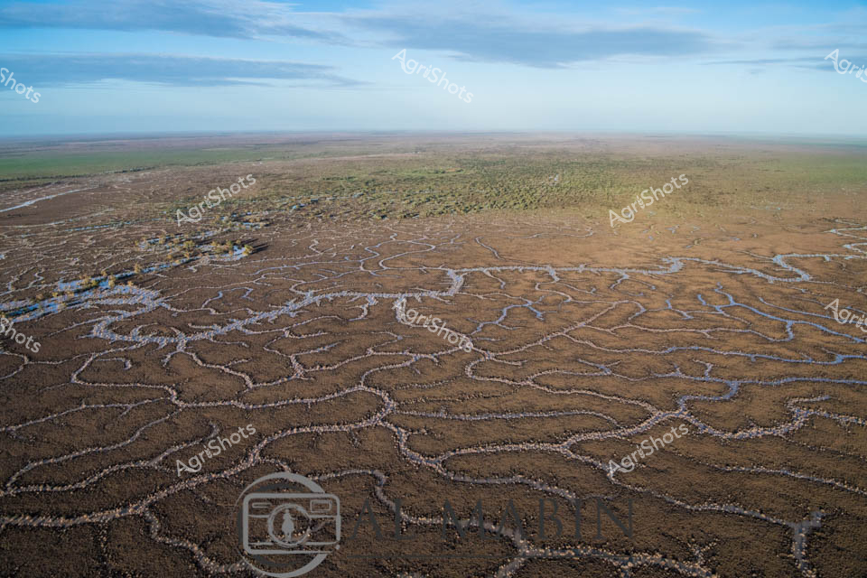
Aerial view of Channel Country's intricate waterways near Windorah, Queensland, revealing the mesmerizing natural irrigation system of this arid pastoral landscape. Sinuous blue channels weave through the russet-brown earth like delicate silver threads, tracing the ephemeral path of seasonal floodwaters across the expansive plains. The landscape transforms into a complex network of braided streams, creating natural water distribution channels that sustain sparse vegetation and support extensive beef cattle stations during rare flooding events. Soft blue skies blend with the earthy tones of the terrain, highlighting the stark beauty of Australia's inland waterways and the remarkable adaptability of its agricultural ecosystems. These natural water management systems demonstrate the intricate relationship between water, land, and livestock survival in one of the continent's most challenging agricultural environments. The photograph captures the subtle resilience of Channel Country - a testament to the sophisticated hydrological patterns that enable pastoral agriculture in remote Queensland's unforgiving landscape.
 Image
Image
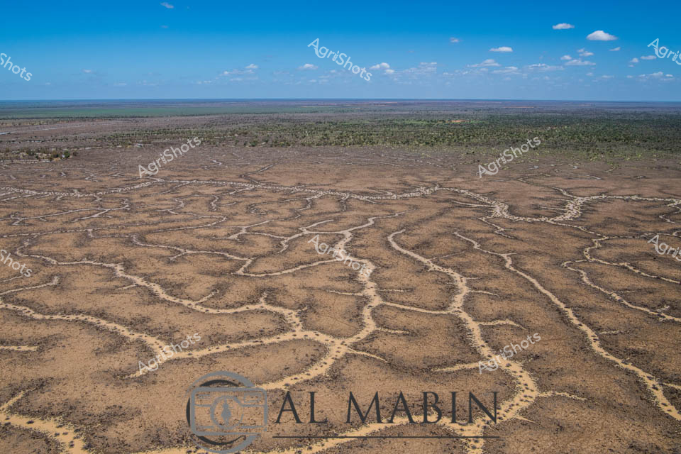
Aerial vista of Channel Country's intricate water management system, revealing the complex network of ephemeral creek channels carved across an arid Queensland landscape. Serpentine waterways weave like silvery veins across the dusty earth, creating an extraordinary natural irrigation pattern that transforms during rare flooding events. The branching channels, etched delicately into the ochre and sienna terrain, demonstrate the remarkable hydraulic engineering of this remote Australian pastoral region. Distant green vegetation marks the landscape's edges, contrasting against the pale brown ground and meeting a luminous azure sky scattered with wispy white clouds. These natural water distribution channels are critical infrastructure for beef cattle stations, capturing and dispersing precious rainfall across vast, otherwise inhospitable plains. The image captures the extraordinary resilience and adaptive strategies of Australian agricultural landscapes, where water management is an art form sculpted by geological and climatic forces.
 Image
Image
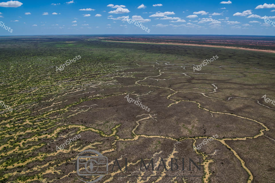
Aerial expanse of Channel Country in western Queensland reveals nature's extraordinary irrigation network. Intricate waterways trace delicate, serpentine patterns across the arid landscape, creating a complex network of seasonal creek channels that transform the dry terrain during flood events. The natural hydraulic system spreads across muted earth tones - deep charcoal greys, olive greens, and dusty yellows - demonstrating the remarkable adaptation of Australia's inland ecosystems. Sparse vegetation clusters around the water channels, highlighting the resilience of plant life in this challenging environment. Expansive blue skies with scattered white clouds provide a luminous backdrop, emphasizing the immense scale of this remote pastoral region. This landscape represents the vital water management systems that sustain livestock production in some of Australia's most demanding agricultural territories, where strategic water distribution can mean survival for cattle stations spanning thousands of hectares.
 Image
Image
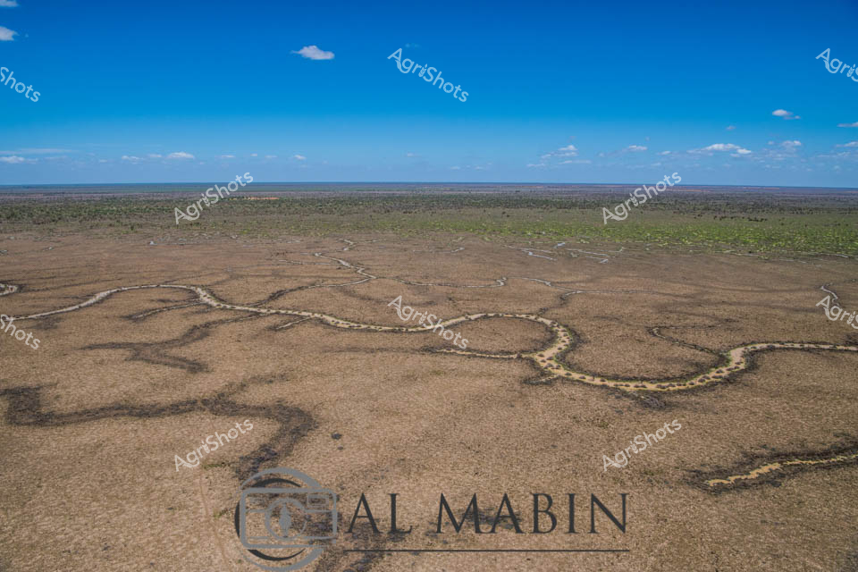
Serpentine waterways carve intricate patterns across the arid landscape of Queensland's Channel Country, revealing the delicate lifelines that sustain pastoral ecosystems during rare flooding events. This aerial perspective captures the sinuous water channels spreading like silver veins across the sun-baked earth, transforming the typically dry terrain into a complex network of moisture and potential regeneration. The stark contrast between the rich blue sky and the muted browns and greens of the landscape highlights the resilience of this remote Australian pastoral environment, where water is the most precious resource. Windorah's distinctive riverine topography demonstrates nature's remarkable capacity to create complex hydrological systems that support livestock production and fragile dryland ecosystems. The meandering channels, likely formed by seasonal river flows, showcase how strategic water management is crucial in beef production across Queensland's challenging inland regions. This image encapsulates the raw beauty of Australia's agricultural frontier, where every drop of water represents survival and potential for pastoral sustainability.
 Image
Image
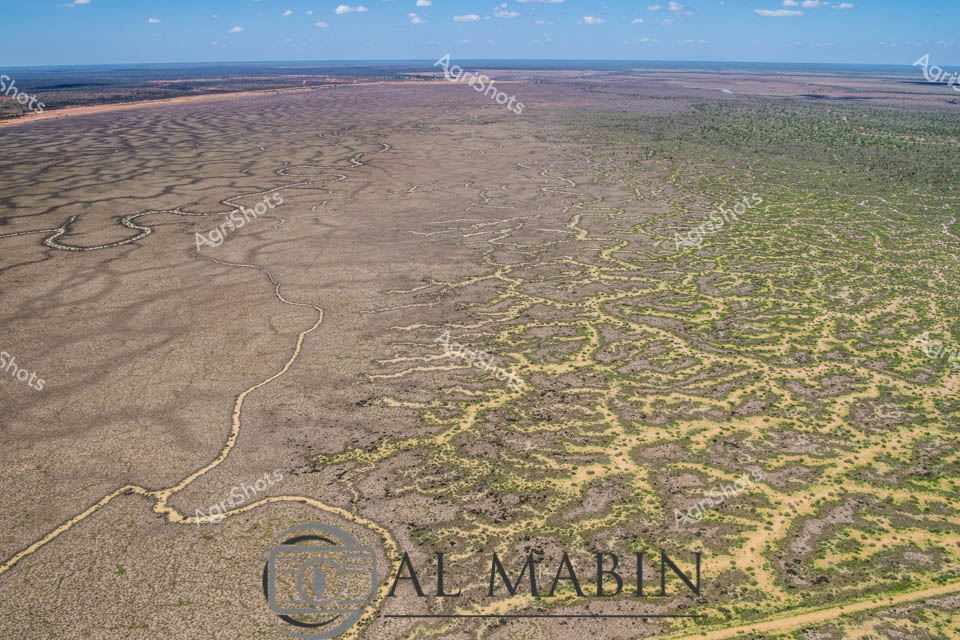
Aerial vista of Channel Country in remote Queensland, revealing the intricate natural water management system of an expansive cattle station. Sinuous waterways carve delicate, serpentine paths across an arid landscape, creating a mesmerizing network of silvery-brown channels that gradually transform the terrain from dusty grey to mottled green. The image captures the extraordinary resilience of this harsh inland ecosystem, where ephemeral creek systems bloom with subtle vegetation during rare flooding events, supporting critical pastoral operations. Soft blue skies stretch across the horizon, highlighting the immense scale of this agricultural landscape where water is the most precious resource. The winding channels demonstrate nature's engineering - gradually distributing scarce moisture across seemingly inhospitable terrain, enabling sparse but tenacious vegetation to emerge in intricate patterns. This breathtaking perspective from Al Mablin station showcases the complex hydrology of Australia's inland regions, where cattle stations must work in profound harmony with the unpredictable rhythms of water and land.
 Image
Image
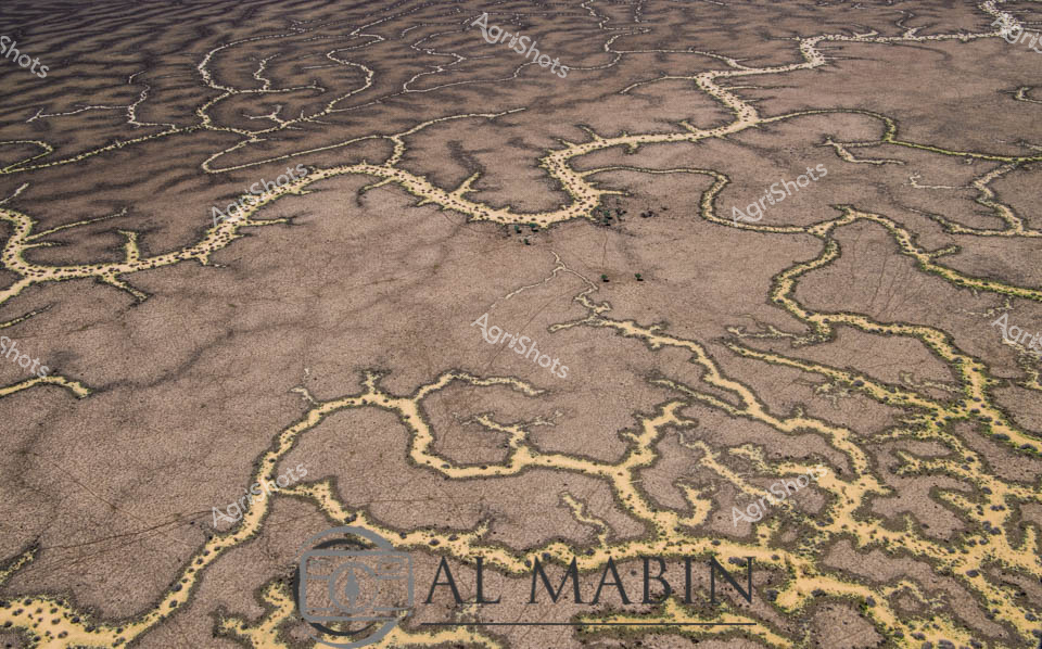
Meandering waterways carve intricate golden-edged channels across the parched earth of Queensland's Channel Country, revealing the dramatic hydrology of Australia's arid interior. Delicate ribbons of yellowed vegetation trace the ephemeral creek lines, highlighting the complex networks that carry precious water across this harsh landscape during rare flooding events. The aerial perspective transforms the landscape into an abstract topographical map, showcasing the resilient ecological patterns of inland Australia's beef station territories. Windorah's distinctive landscape emerges as a masterpiece of natural engineering, where water navigates through sun-baked terrain in serpentine patterns that speak to the region's extreme environmental conditions. These seasonal water flows are lifelines for remote pastoral operations, providing critical hydration for livestock and sustaining sparse vegetation in one of the continent's most challenging agricultural environments. The muted browns and subtle golden highlights capture the raw beauty of Queensland's inland watersheds, illustrating the delicate balance of survival in Australia's unforgiving outback.