About this image
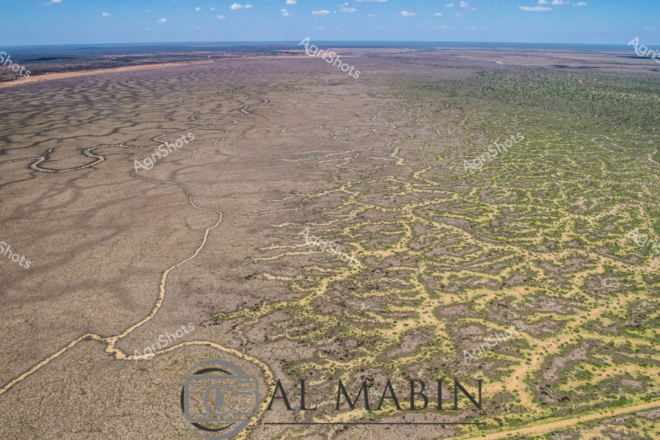
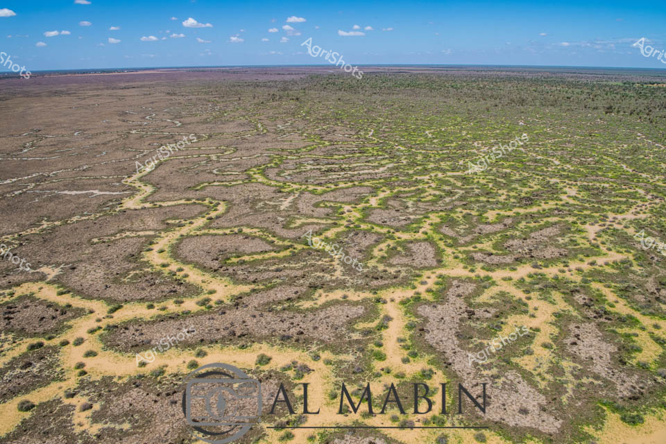
Aerial vista of Channel Country in remote Queensland, revealing the intricate natural water management system of an expansive cattle station. Sinuous waterways carve delicate, serpentine paths across an arid landscape, creating a mesmerizing network of silvery-brown channels that gradually transform the terrain from dusty grey to mottled green. The image captures the extraordinary resilience of this harsh inland ecosystem, where ephemeral creek systems bloom with subtle vegetation during rare flooding events, supporting critical pastoral operations. Soft blue skies stretch across the horizon, highlighting the immense scale of this agricultural landscape where water is the most precious resource. The winding channels demonstrate nature's engineering - gradually distributing scarce moisture across seemingly inhospitable terrain, enabling sparse but tenacious vegetation to emerge in intricate patterns. This breathtaking perspective from Al Mablin station showcases the complex hydrology of Australia's inland regions, where cattle stations must work in profound harmony with the unpredictable rhythms of water and land.
Similar media
 Image
Image
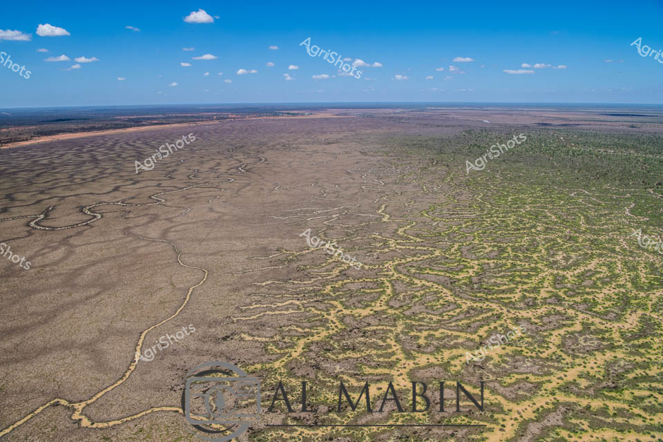
Aerial vista of Channel Country's mesmerizing landscape near Windorah, Queensland, revealing the intricate hydraulic networks carved by seasonal floodwaters across an expansive arid terrain. Serpentine waterways branch and meander through the dusty ochre plains, creating complex dendritic patterns that pulse with life-giving moisture across the seemingly barren landscape. The image captures the extraordinary resilience of Australia's inland geography, where ephemeral creek systems transform dry grasslands into temporary wetlands during rare flooding events. Subtle gradations of brown, tan, and muted green reveal the delicate ecological balance of this harsh yet breathtaking environment, where water is the critical architect of survival. Wispy clouds drift across a brilliant azure sky, providing a luminous backdrop to the textured ground below, highlighting the dramatic contrast between aridity and potential abundance. This landscape epitomizes the dramatic seasonal transformations of Queensland's remote beef station country, where water's momentary presence sculpts the very essence of the terrain.
 Image
Image
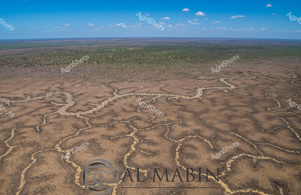
Serpentine waterways carve intricate patterns across the arid landscape of Queensland's Channel Country, revealing the delicate hydraulic infrastructure of station. Aerial perspectives showcase the complex network of ephemeral creek channels, their pale edges contrasting against the ochre and dusty brown earth, creating a natural irrigation system that sustains this remote beef cattle pastoral region. The intricate branching waterways resemble delicate veins across the landscape, capturing the precious moisture essential for survival in this harsh Australian outback environment. Distant green vegetation marks the edges of the floodplain, while a bright blue sky with scattered white clouds offers a sense of expansive tranquility and timeless geological process. This remarkable image captures the nuanced relationship between water, land, and pastoral agriculture in one of Australia's most challenging yet productive agricultural landscapes. The natural drainage patterns demonstrate how strategic water management enables cattle production in an environment where every drop of water is a lifeline.
 Image
Image
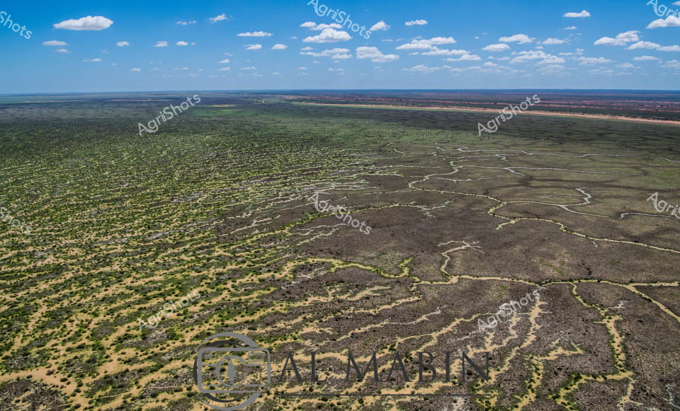
Aerial vista of Channel Country, Queensland, revealing the intricate water management system of a vast cattle station. Serpentine channels carved into the arid landscape trace delicate green-edged patterns across burnt sienna and olive terrain, capturing the ingenious hydrology that sustains pastoral operations in this harsh inland region. Flood irrigation networks spread like capillaries, transforming seemingly barren ground into productive grazing lands, demonstrating the resilience of Australian agricultural practices. Soft white clouds drift across an expansive blue sky, providing a luminous backdrop to this remarkable landscape of strategic water distribution. The image captures the complex relationship between land, water, and agricultural innovation - a testament to the sophisticated environmental understanding of modern beef production in Queensland's remote interior. This aerial perspective reveals the extraordinary engineering and ecological adaptation required to transform challenging terrain into sustainable pastoral ecosystems.
 Image
Image
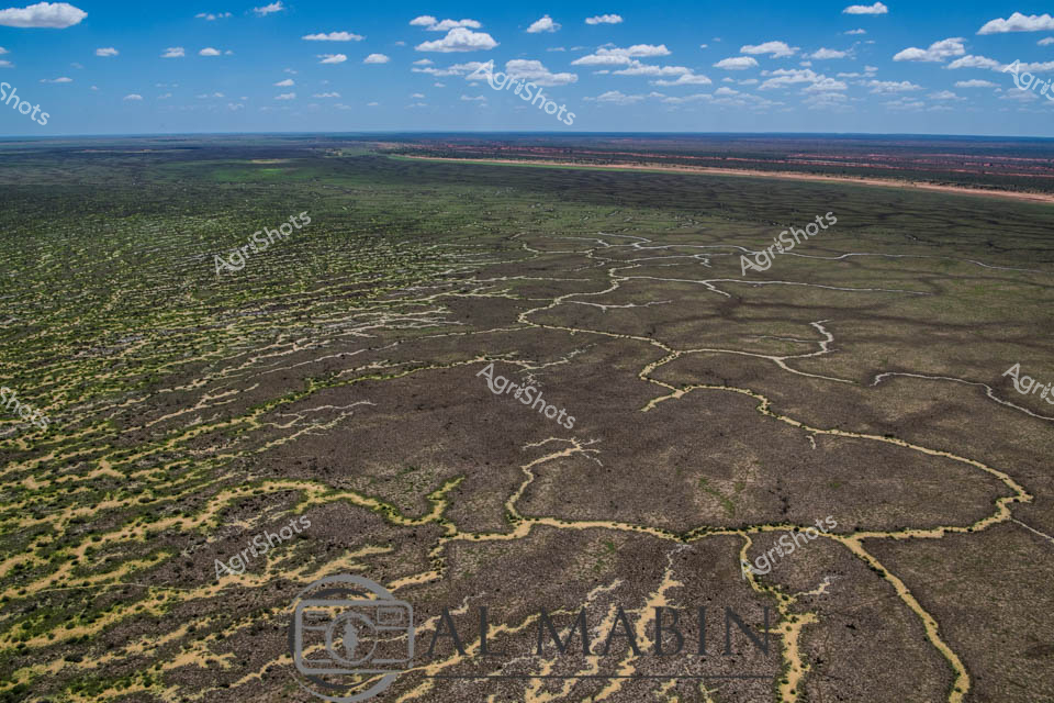
Aerial view of station in Queensland's Channel Country, revealing an intricate natural water management system carved into the arid landscape. Sinuous yellow-edged channels wind through grey-brown terrain, creating an organic, almost fractal-like pattern of water distribution across the semi-arid grasslands. Sparse vegetation in muted greens and yellows punctuates the rocky ground, demonstrating the resilience of vegetation in this challenging ecosystem. The expansive horizon stretches beneath a soft blue sky dotted with wispy white clouds, highlighting the immense scale of this pastoral landscape. This sophisticated natural irrigation network represents the remarkable adaptation of vegetation and land formations in Australia's harsh interior, where water is a precious and strategic resource for cattle stations and indigenous ecosystems. The photograph captures the subtle beauty of inland Queensland, where geological processes and sparse rainfall create stunning, functional landscapes that sustain livestock and wildlife.
 Image
Image
Aerial expanse of Channel Country in western Queensland reveals nature's extraordinary irrigation network. Intricate waterways trace delicate, serpentine patterns across the arid landscape, creating a complex network of seasonal creek channels that transform the dry terrain during flood events. The natural hydraulic system spreads across muted earth tones - deep charcoal greys, olive greens, and dusty yellows - demonstrating the remarkable adaptation of Australia's inland ecosystems. Sparse vegetation clusters around the water channels, highlighting the resilience of plant life in this challenging environment. Expansive blue skies with scattered white clouds provide a luminous backdrop, emphasizing the immense scale of this remote pastoral region. This landscape represents the vital water management systems that sustain livestock production in some of Australia's most demanding agricultural territories, where strategic water distribution can mean survival for cattle stations spanning thousands of hectares.
 Image
Image
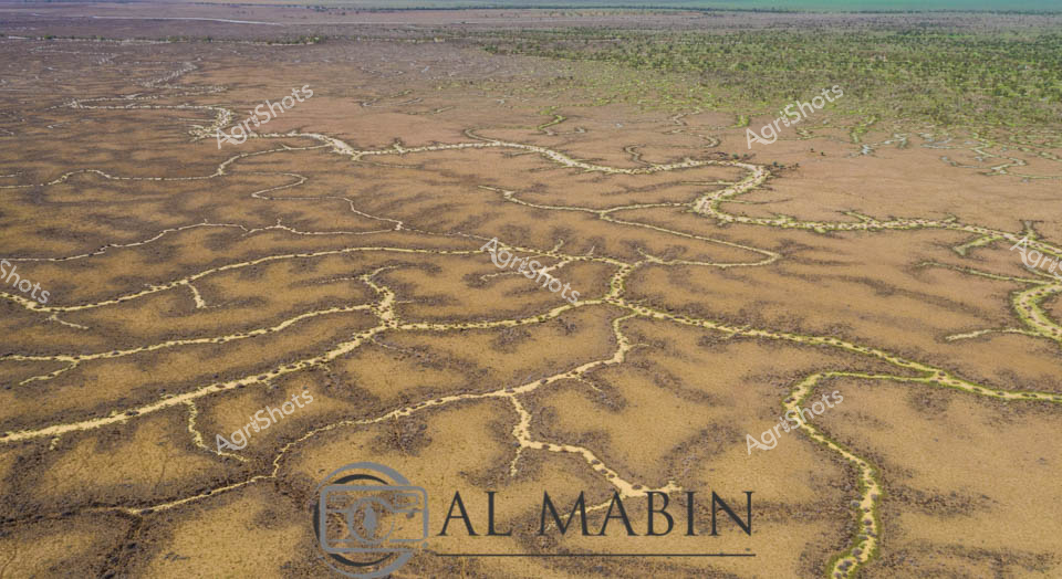
Aerial vista of Channel Country in western Queensland, revealing the intricate hydrology of an arid pastoral landscape. Sinuous waterways in silver and pale blue meander across a mottled terrain of earthy browns, soft yellows, and sage greens, creating organic, interconnected patterns that speak to the delicate water distribution systems of this harsh inland region. The expansive floodplains demonstrate the complex ecological networks of inland Australian waterways, where seasonal flooding creates temporary life-giving corridors across seemingly barren landscapes. Sparse vegetation clusters along the water channels, highlighting the resilience of plant life in this challenging environment. The horizon stretches endlessly, broken only by subtle variations in terrain and vegetation, capturing the immense scale and raw beauty of Queensland's remote beef station country.
 Image
Image
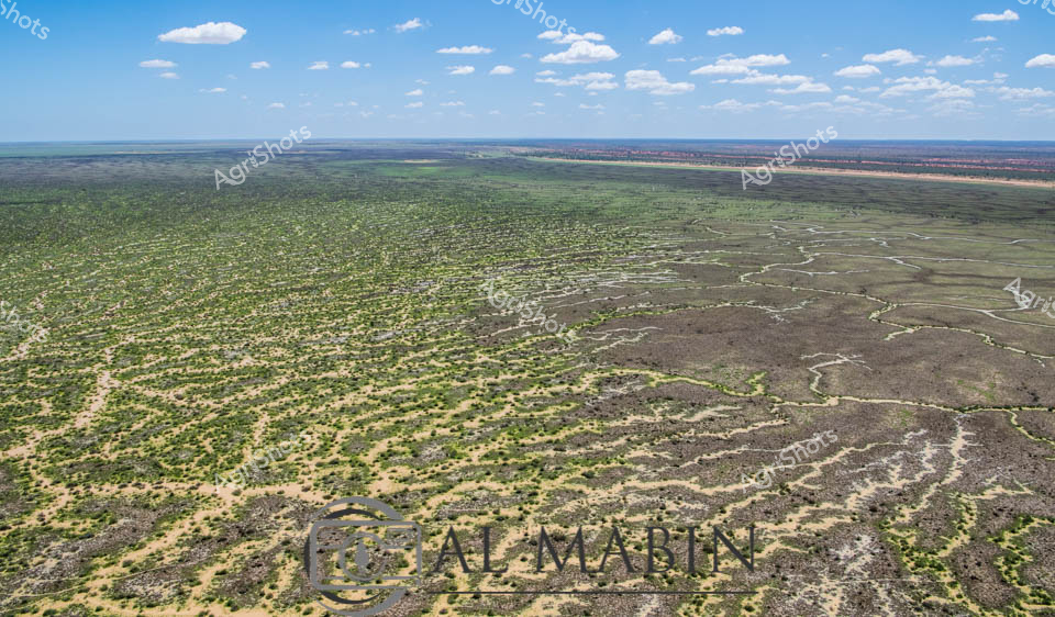
Branching waterways weave an intricate network across the parched Channel Country landscape, revealing the ephemeral lifelines of Queensland's remote interior. Limestone-edged creek lines trace delicate golden-green pathways through ochre and umber plains, capturing the subtle hydrology of an arid pastoral ecosystem. During rare flood events, these seemingly fragile watercourses transform the landscape, carrying vital moisture across vast cattle station territories and sustaining native grasses that support extensive beef production. The aerial perspective unveils a natural irrigation system where water navigates subtle topographical contours, creating a mesmerizing organic pattern that speaks to the resilience of Australia's inland agricultural environments. Soft green vegetation clusters along the watercourse edges contrast with the dominant brown earth, highlighting the critical role of water in this unforgiving terrain.
 Image
Image
Aerial vista of Channel Country in Queensland, revealing the intricate water management infrastructure of The expansive cattle station. Serpentine water channels weave through the arid landscape, creating a complex network of irrigation routes that transform the dusty, sparse terrain into a potential grazing ecosystem. The panoramic view captures the immense scale of Australian pastoral land, where strategic water distribution becomes critical for sustainable beef production in this harsh, drought-prone region. Soft green and brown tones blend across the landscape, with meandering waterways etched like silver threads against the earth, demonstrating the sophisticated hydrology that enables agricultural resilience in remote Queensland. Wispy clouds float across a brilliant blue sky, suggesting a clear, dry season perfect for assessing and maintaining rural infrastructure. This image epitomizes the innovative water management techniques that allow cattle stations to thrive in some of Australia's most challenging agricultural environments.