About this image
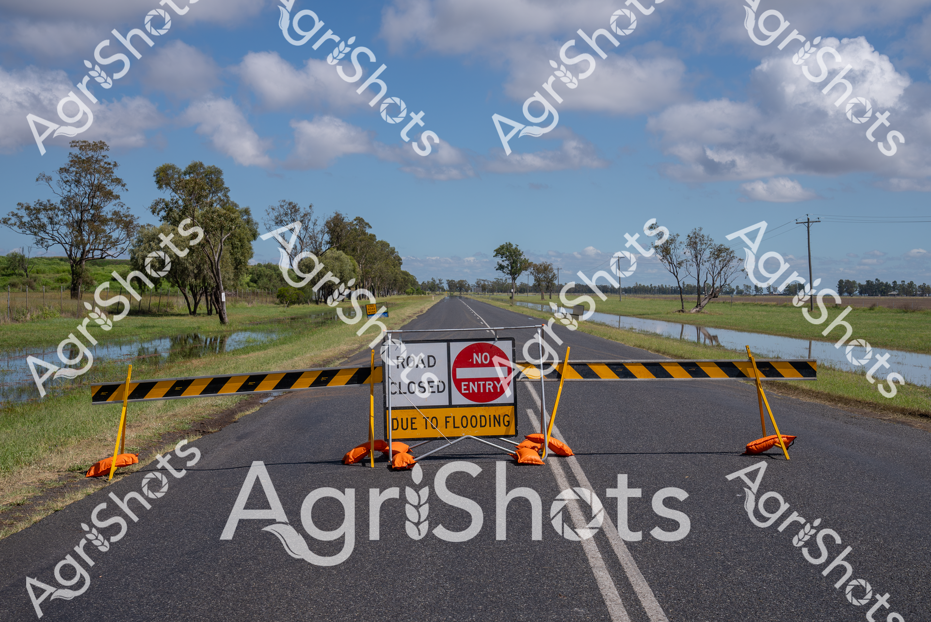
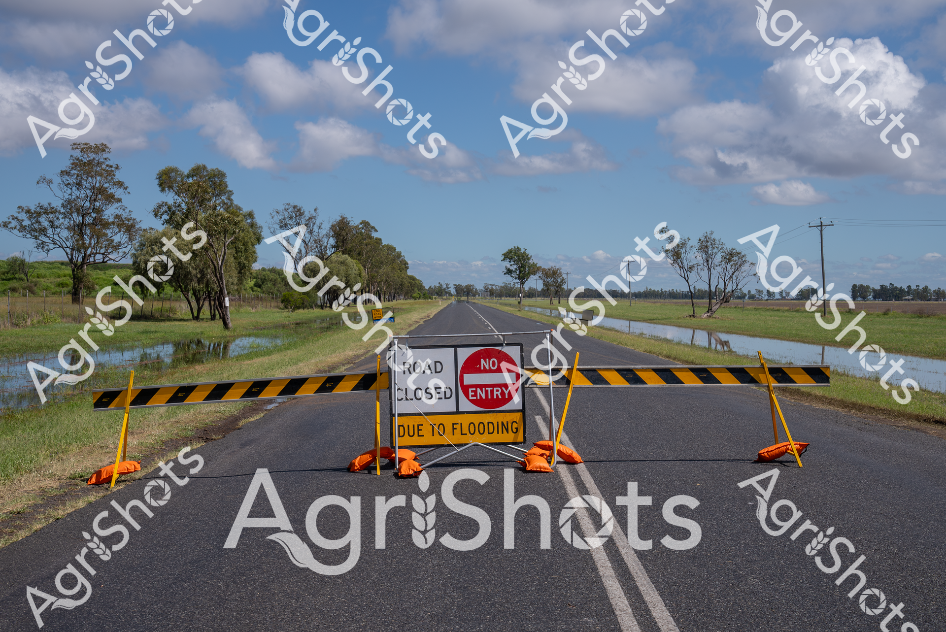
Rural Queensland Flood Crisis: Road Closure Reveals Landscape Resilience A stark testament to the Darling Downs region's seasonal challenges, this roadway stands submerged and blocked, yellow and black barricades firmly preventing passage amid widespread flooding. Expansive floodwaters breach the roadside, reflecting the surrounding eucalyptus woodland and scattered gum trees under a luminous blue sky scattered with billowing cumulus clouds. The "Road Closed" and "No Entry" signs emerge as critical safety markers, highlighting the unpredictable nature of agricultural landscapes during extreme weather events. Yellow and black striped barriers punctuated by vivid orange warning bases create a dramatic visual barrier against the asphalt, symbolizing the constant negotiation between human infrastructure and natural environmental forces. Soft green grasslands and waterlogged paddocks frame the scene, demonstrating the Darling Downs' complex ecosystem where agricultural productivity coexists with periodic inundation. This powerful image captures a moment of environmental transformation, where water reconfigures the rural landscape and demands human adaptation.
Similar media
 Image
Image
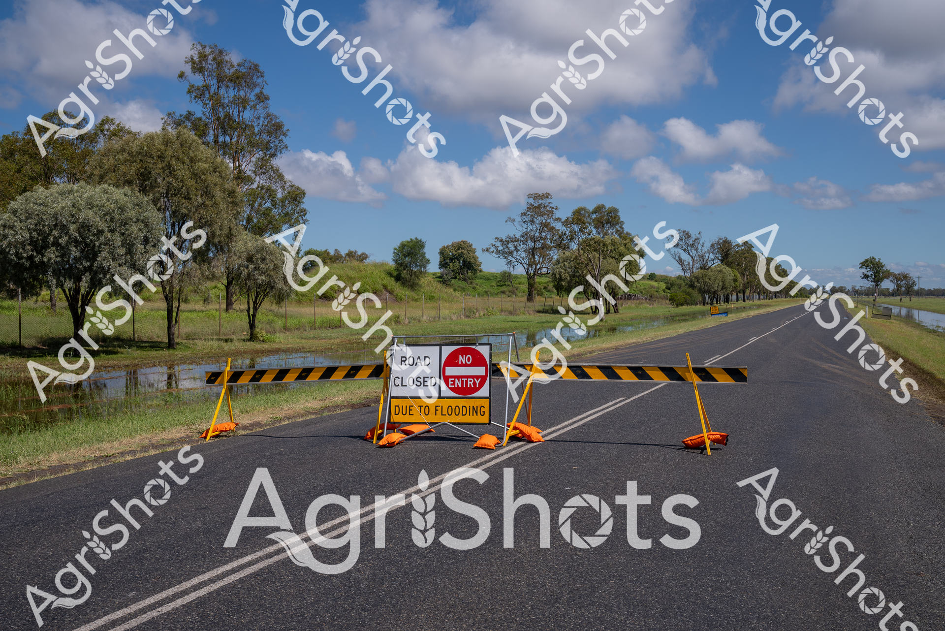
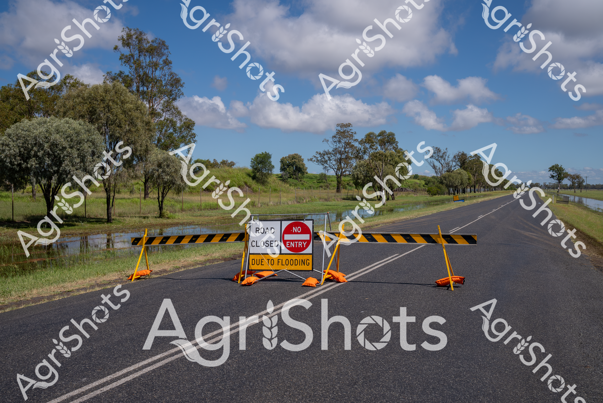
In the heart of Queensland's Darling Downs, an unexpected inland sea transforms the rural landscape, rendering a crucial transport route impassable. Vivid yellow and black road barriers slice across the asphalt, punctuated by a stark "Road Closed" and "No Entry" sign warning of flood dangers. Swollen waters flank both sides of the highway, submerging adjacent grasslands and creating a mirror-like reflection of the expansive sky dotted with billowing cumulus clouds. Scattered eucalyptus trees stand sentinel, their weathered branches rising from the waterlogged terrain, silent witnesses to nature's unpredictable power. The scene captures the delicate balance of agricultural life in regional Australia, where extreme weather can instantly disrupt daily rhythms and transportation networks. This powerful image speaks to the resilience of rural communities, who must constantly adapt to the mercurial conditions of the Australian landscape.
 Image
Image
Rural Infrastructure and Flood Management: Darling Downs A critical moment of agricultural landscape resilience unfolds on this rain-soaked rural highway in Queensland's Darling Downs region. Vivid yellow and black road closure barriers block the asphalt roadway, flanked by a stark red "No Entry" sign declaring the route impassable due to flooding. Surrounding native eucalyptus trees stand sentinel across a waterlogged landscape, their silvery-green foliage contrasting against a luminous blue sky punctuated with billowing white clouds. Floodwaters have crept across the grassy verges, transforming the roadside into a reflective temporary wetland that underscores the dynamic and unpredictable nature of rural environmental conditions. These safety barriers represent more than an obstruction - they embody the critical infrastructure and quick response mechanisms that protect agricultural communities during extreme weather events. The scene captures the intersection of natural challenge and human preparedness, where road safety protocols and emergency management ensure the protection of critical transportation networks vital to regional agricultural operations.
 Image
Image
Rural Queensland Road Closure: Nature's Intervention Floodwaters have transformed this Darling Downs roadway into an impassable barrier, with stark yellow and black barricades blocking forward progress. Vibrant safety signage declares "ROAD CLOSED DUE TO FLOODING" and "NO ENTRY", creating a dramatic punctuation across the asphalt ribbon cutting through lush pastoral landscape. Expansive blue skies with billowing white clouds provide a stark contrast to the flooded grasslands and tree-lined roadside, where water pools alongside the bitumen surface. The yellow barricades and orange base supports stand in sharp relief against the grey road and green vegetation, highlighting the critical safety message during this natural event. Native eucalyptus trees stand sentinel in the background, their grey-green foliage a testament to the resilient Australian landscape that simultaneously nurtures and challenges agricultural communities. This image captures the unpredictable relationship between infrastructure and environment, where seasonal flooding can rapidly transform a straightforward rural thoroughfare into an unexpected obstacle.
 Image
Image
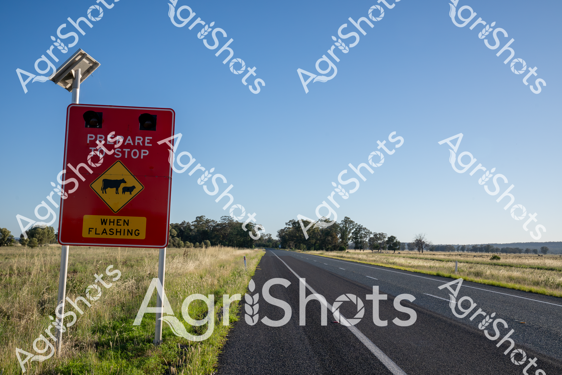
Rural Road Safety: Cattle Crossing Alert A vibrant crimson livestock warning sign stands sentinel beside a sweeping rural highway, powered by a solar panel and demanding driver vigilance. The yellow diamond-shaped cattle icon signals the potential presence of livestock on this open rural roadway, with a bold "PREPARE TO STOP WHEN FLASHING" directive highlighting the critical intersection between agricultural movement and transportation safety. The surrounding landscape unfolds in soft golden grasslands stretching toward distant tree lines, capturing the quintessential Australian agricultural terrain under a pristine azure sky. Solar-powered warning technology demonstrates sophisticated rural infrastructure, protecting both livestock and motorists by providing dynamic, responsive safety communication in remote farming regions. The meticulously maintained bitumen roadway cuts a precise line through the undulating pastoral setting, representing the careful balance between agricultural production and modern transportation networks. This scene epitomizes the strategic approach to rural road management, where technological innovation meets traditional agricultural practices.
 Image
Image
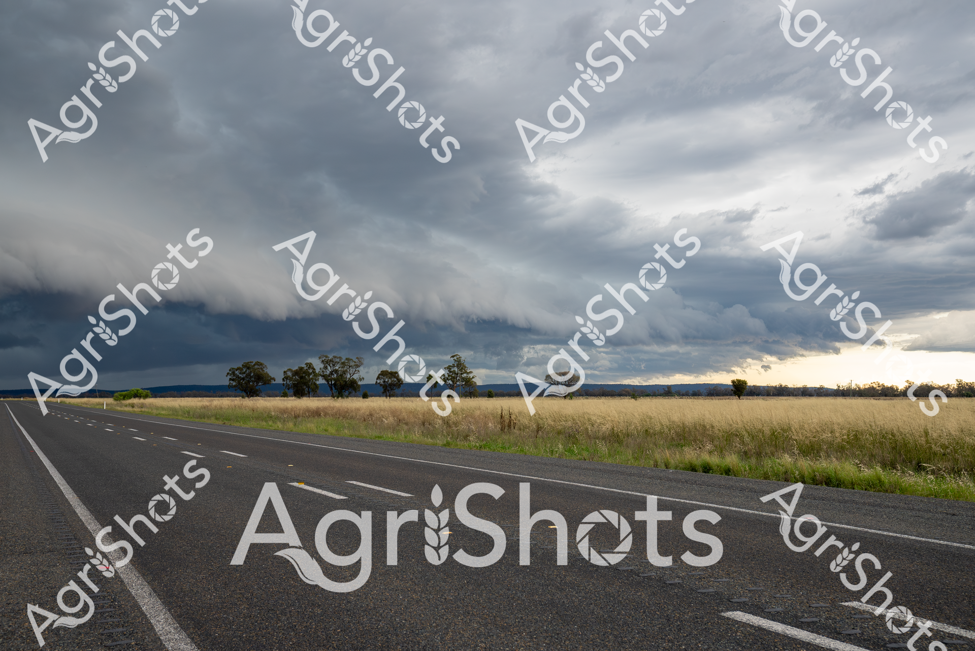
A brooding summer storm sweeps across the Riverina landscape, transforming the horizon into a dramatic canvas of turbulent pewter and charcoal clouds. The highway stretches through golden grasslands, a ribbon of dark bitumen cutting a precise line between sun-bleached pastures and an approaching weather front. Scattered eucalyptus trees stand as stoic sentinels, their forms silhouetted against the threatening sky, with a distant brightness suggesting the storm's leading edge will soon pass. The road's white lane markings create a stark geometric contrast to the organic, undulating grasslands and the swirling atmospheric drama overhead. Typical of the New South Wales rural landscape, this scene captures the raw, elemental beauty of agricultural country - where vast open spaces meet unpredictable weather patterns, and the horizon seems to stretch infinitely. The approaching storm carries the promise of potential rain, critical for the surrounding agricultural lands, embodying the precarious and resilient nature of rural Australian life.
 Image
Image
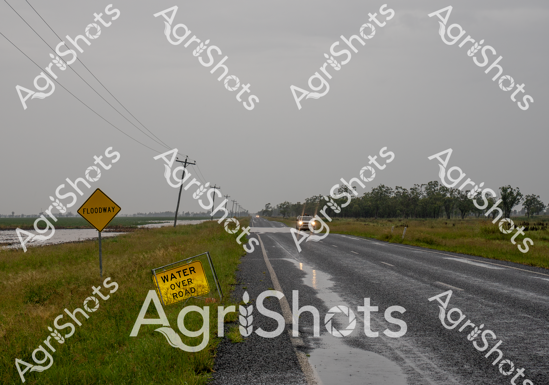
Floodwaters breach the rural highway in Queensland's Darling Downs, transforming the landscape into a treacherous waterway. A vibrant yellow "Water Over Road" warning sign stands sentinel beside the asphalt, its urgent message cutting through the monochromatic grey of an overcast day. Electrical poles stretch into the distance, their lines bisecting the sodden grasslands where water has inundated the surrounding agricultural terrain. A lone vehicle navigates the wet conditions, headlights piercing the misty atmosphere, highlighting the persistent challenge of rural mobility during extreme weather events. The saturated roadside and sprawling fields tell a story of nature's unpredictable power, where agricultural productivity can be suddenly interrupted by flooding. This scene captures the resilience of Queensland's rural communities, who must constantly adapt to the dynamic and sometimes unforgiving environmental conditions of the region.
 Image
Image
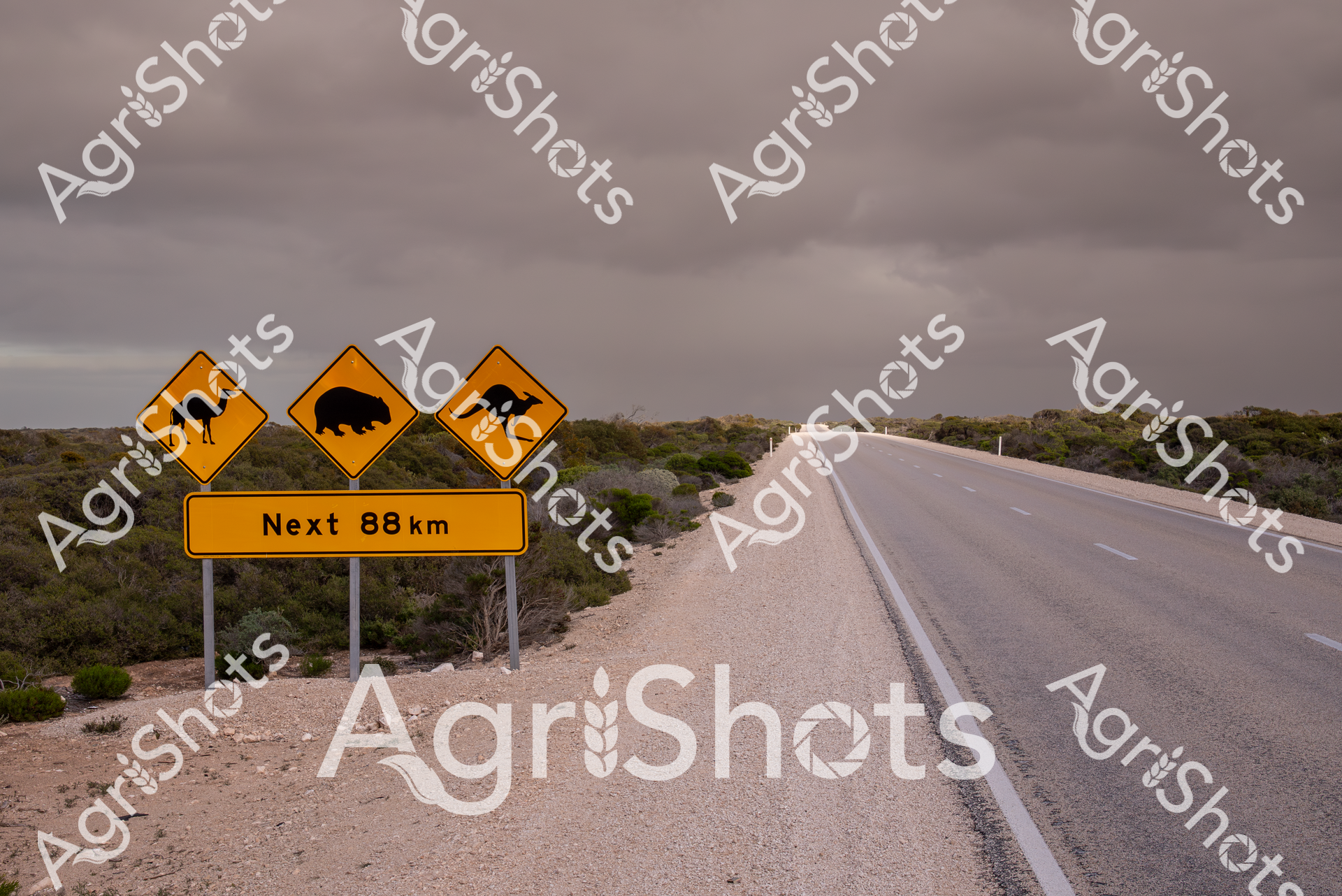
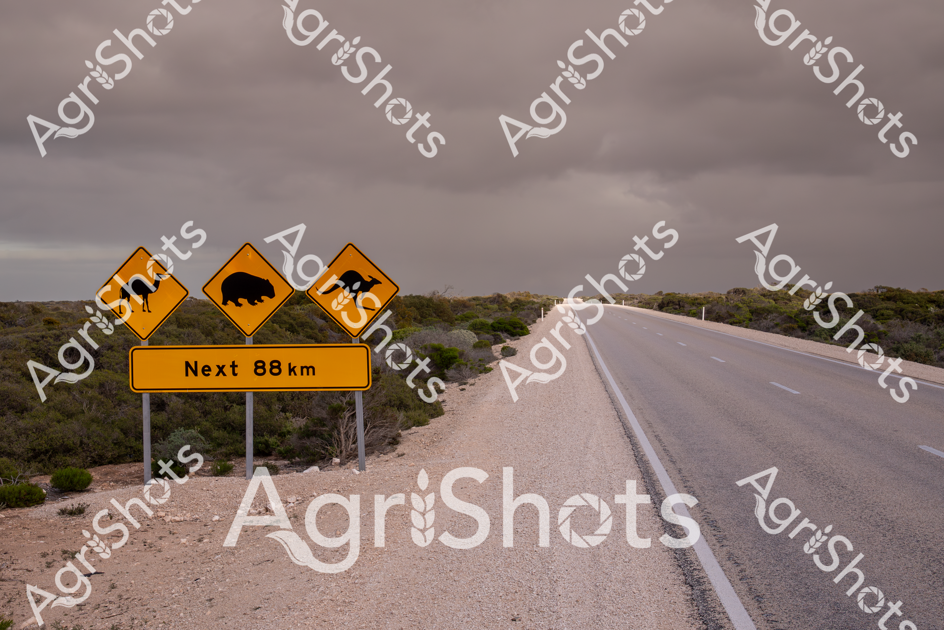
A yellow road sign warns of wildlife along an 88 km stretch of highway crossing the sparse Nullarbor Plain in Western Australia. The sign features icons of a camel, wombat, and kangaroo, highlighting the unique fauna of this remote Australian landscape. The empty road stretches into the distance, surrounded by low scrubby vegetation under an overcast sky.
 Image
Image
A desolate highway stretches across the Nullarbor Plain in Western Australia, marked by warning signs for wildlife like camels, wombats, and kangaroos. The yellow road sign indicates the next destination is 88 kilometers away, capturing the vast, sparse landscape of the Australian outback under an overcast sky.