Results for “traffic”
 Image
Image
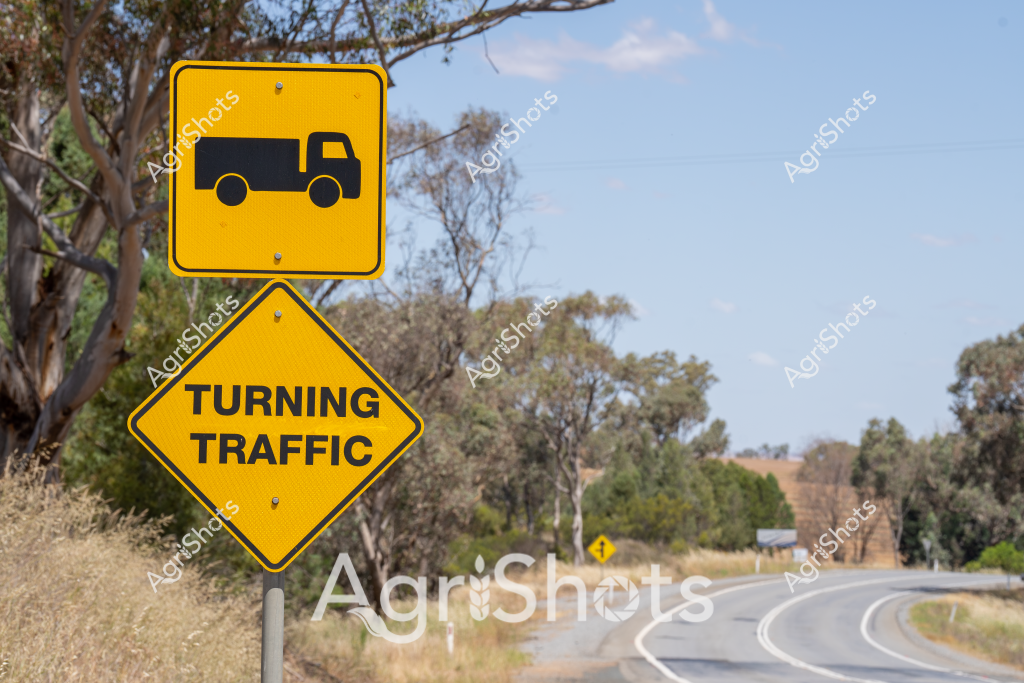
A vivid yellow road sign alerts drivers to "Turning Traffic" alongside a truck icon, positioned on a rural highway winding through a classic Australian bushland setting. Eucalyptus trees with silvery-green foliage frame the curved road, their branches casting dappled shadows across the bitumen. The bright warning signs stand out against the muted landscape, highlighting the importance of road safety in remote agricultural regions where heavy vehicles like trucks frequently navigate challenging terrain. The diamond-shaped signage communicates critical information to drivers, ensuring awareness of potential vehicle movements in an area where transportation plays a crucial role in supporting farming and rural industries. The clear blue sky and dry grasslands surrounding the road epitomize the rugged, expansive nature of Australian rural landscapes.
 Image
Image
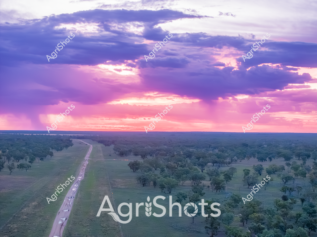
A breathtaking aerial view captures a long rural highway cutting through a lush green landscape at sunset, with an expansive canopy of trees stretching across the horizon. The sky explodes in vibrant purple, pink, and lavender hues, with dramatic cloud formations creating a spectacular light show above the undulating terrain. A line of vehicles travels along the straight road, which appears to bisect a dense woodland area with scattered trees and open grasslands. The scene is bathed in the soft, ethereal light of what seems to be a late afternoon or early evening, with the sun's rays creating a luminous backdrop that transforms the landscape into a canvas of natural beauty. The perspective suggests this is likely an Australian rural or outback region, with its characteristic wide-open spaces and dramatic sky. The landscape demonstrates the vast, interconnected nature of Australia's agricultural and wilderness regions, where infrastructure and natural environment coexist in harmonious expanse.
 Image
Image
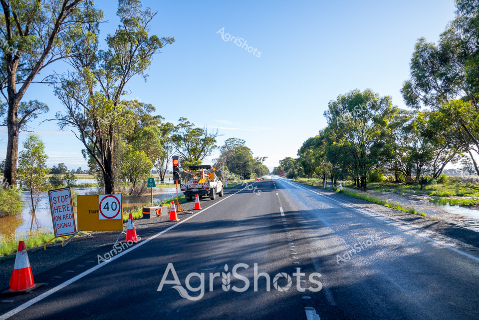
Rural Road Safety: Traffic Management during Seasonal Flooding Brilliant autumn sunlight bathes a rural highway in the Riverina region of New South Wales, where precision traffic control measures manage road conditions during seasonal inundation. A crisp 40 km/h speed limit sign stands sentinel alongside vibrant orange safety cones, directing vehicles past a carefully managed roadway partially submerged by surrounding floodwaters. A specialized traffic management vehicle with warning lights stands ready, its presence ensuring driver safety amid the delicate balance between infrastructure and natural water systems. Eucalyptus trees line the road's edge, their silvery-green foliage providing a serene backdrop to the methodical road management operation. The asphalt gleams under clear blue skies, wet from recent flooding but meticulously maintained, demonstrating the resilience and professional approach of regional infrastructure teams. This scene captures the quiet determination of Australian rural communities in managing environmental challenges with systematic, calm efficiency.
 Image
Image
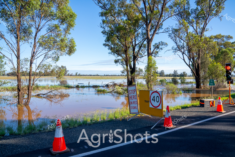
Rural Flood Emergency: Traffic Management during Natural Disaster Murky floodwaters consume the roadside in the Riverina region, transforming the landscape into a sprawling liquid terrain. Vibrant orange safety cones and traffic control signage punctuate the waterlogged scene, marking a critical intersection where nature's power disrupts rural infrastructure. A 40 km/h speed limit sign and a prominent "STOP HERE ON RED SIGNAL" warning stand sentinel amid eucalyptus trees, their trunks partially submerged in the expansive flood waters. The brilliant blue sky overhead provides a stark contrast to the inundated landscape, suggesting this flooding event occurred during a summer or autumn season in New South Wales. Traffic management equipment - including traffic lights and safety barriers - demonstrate the systematic rural response to environmental challenges, highlighting the resilience and preparedness of agricultural communities facing natural disruptions. The image captures a moment of environmental transition, where water has claimed the traditional boundaries between road and landscape, creating a haunting yet beautifully composed tableau of rural emergency management.
 Image
Image
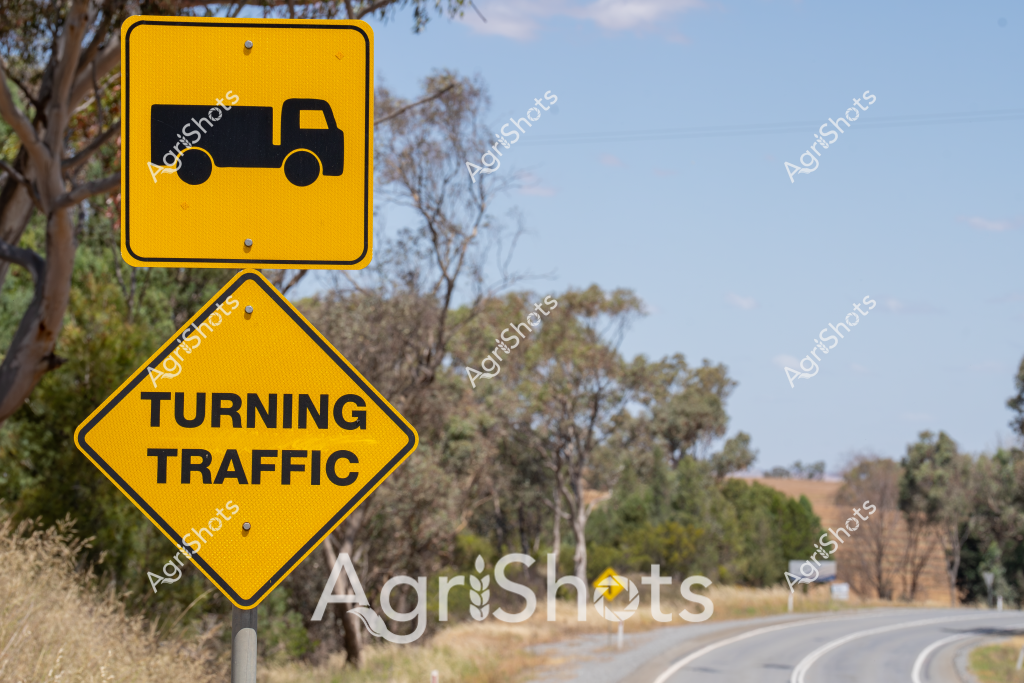
A vibrant yellow road sign alerts drivers to "Turning Traffic" alongside a vehicle icon, positioned on a rural highway cutting through a classic Australian bushland landscape. The bright warning signage stands out against a backdrop of scattered eucalyptus trees and dry grasslands, capturing the essence of regional road safety infrastructure. Weathered trees and sun-bleached grasses frame a gently curving bitumen road, suggesting a typical scene from an inland New South Wales transportation route. The clear blue sky and subdued vegetation hint at a dry season, common in Australian rural environments. These carefully placed road signs demonstrate the critical importance of communication and safety in remote agricultural regions, where truck and agricultural vehicle movements are frequent and necessitate clear guidance. The sign's bold yellow color and straightforward iconography serve as a crucial navigational and safety tool for drivers traversing this rural highway, highlighting the practical and no-nonsense approach to road management in agricultural areas.
 Image
Image
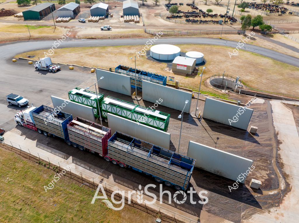
An aerial view of a livestock processing facility reveals a complex agricultural infrastructure designed for efficient cattle management. Large white modular walls and green-framed structures create a systematic loading and unloading area for semi-trailer trucks. White cylindrical water tanks and circular holding pens surround the central processing zone, indicating a modern cattle handling facility likely located in a dry, arid region with sparse vegetation and dusty ground. A semi-trailer truck is positioned within the loading zone, suggesting preparation for transporting livestock. The surrounding landscape features several industrial-style sheds with metal roofing in green and grey tones, and a series of fenced paddocks where numerous dark-colored cattle can be seen clustered together. The infrastructure demonstrates precision engineering typical of contemporary Australian agricultural operations, with carefully designed pathways, sturdy infrastructure, and strategic layout to maximize efficiency in livestock movement and processing. Gravel and concrete surfaces provide durable, functional spaces for heavy vehicle and animal traffic, reflecting the demanding environmental conditions of rural livestock production zones. The aerial perspective offers a comprehensive view of the facility's layout, highlighting the sophisticated systems developed to manage large-scale cattle operations in challenging agricultural environments.
 Image
Image
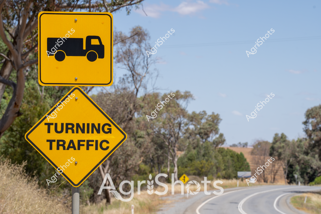
A vivid road safety sign captures the essence of rural transportation infrastructure in regional Australia. A bright yellow diamond-shaped sign displays a truck icon and warns of "TURNING TRAFFIC", positioned against a backdrop of gently curving bitumen road and native eucalyptus woodland. The signage stands sentinel alongside the road, its bold black graphics contrasting sharply with the soft greens and grays of the surrounding bushland landscape. The warning sign suggests an area of agricultural or industrial activity where heavy vehicles may frequently enter or exit the roadway, highlighting the careful navigation required in rural driving conditions. Sparse grasses and scattered trees frame the scene, creating a typical Australian rural road environment that balances natural landscape with critical transportation safety infrastructure. The image belongs to categories: - Road Safety - Landscapes - Agricultural Equipment (potential truck movement) - Vehicles - Australian Landscapes Relevant location context suggests this could be in New South Wales (NSW), representing typical rural road infrastructure design.
 Image
Image
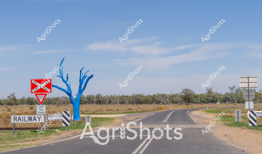
A striking rural railway crossing scene captures an isolated Australian landscape, with a vivid blue tree standing sentinel near a traffic sign. The winding asphalt road curves through a dry grassland setting, punctuated by roadside railway warning signs and distant eucalyptus trees. A "Give Way" and "Railway" sign alerts travelers to potential train crossings, emphasizing the safety infrastructure of rural transportation routes. The bright blue tree - likely an artistic installation or painted landmark - provides a surreal contrast against the muted landscape of golden grasses and soft blue sky. Roadside markers and gentle road curves suggest this is a remote agricultural region, typical of inland Australian terrain where transportation infrastructure connects sparse rural communities. The composition highlights the intersection of natural landscape and human-constructed pathways, with the unexpected blue tree adding an element of artistic intrigue to an otherwise utilitarian scene of rural road and rail infrastructure.
 Image
Image
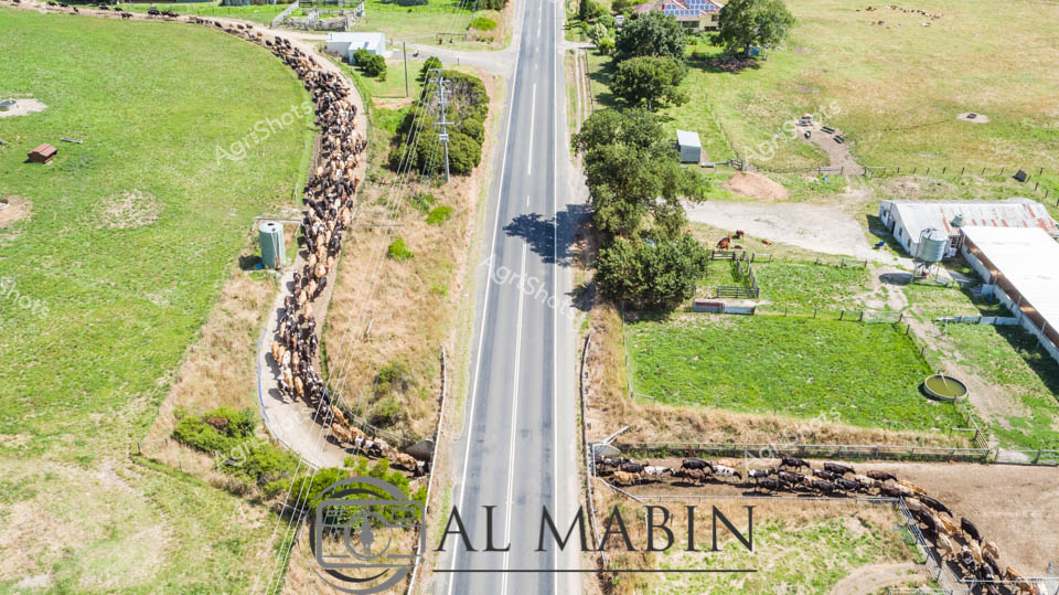
Herds of dairy cattle converge at an innovative rural underpass, demonstrating precision livestock management in Victoria's lush Gippsland region. A pristine two-lane rural highway bisects verdant pastures, with Holstein and Jersey cattle methodically navigating the dedicated livestock crossing beneath the roadway. The aerial perspective reveals a meticulously organized agricultural landscape, where carefully planned infrastructure allows seamless movement between grazing paddocks without disrupting traffic flow. Tightly clustered black and white dairy cows form dense, serpentine lines approaching and departing the road underpass, highlighting the sophisticated agricultural engineering. Surrounding grasslands glow an intense emerald green, suggesting spring or early summer conditions with abundant feed. Scattered farm infrastructure - including utility structures, fenced enclosures, and agricultural buildings - punctuate the verdant terrain, reinforcing the region's dedicated farming ecosystem. The geometric precision of the road contrasts beautifully with the organic movement of the cattle, creating a compelling visual narrative of agricultural sophistication.
 Image
Image
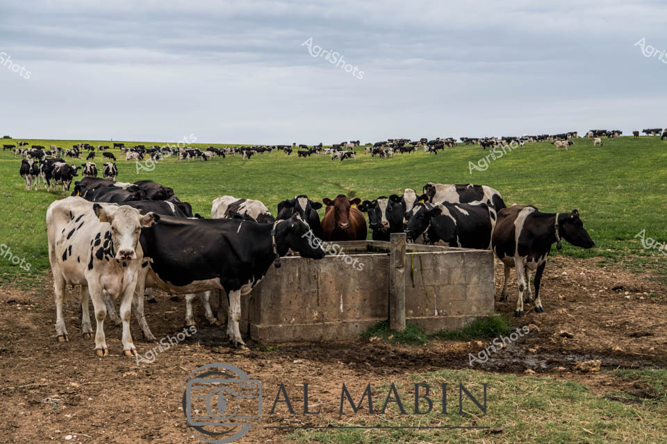
Holstein dairy cattle cluster around a weathered concrete water trough in a vast, undulating pasture under soft overcast skies. The expansive green grasslands stretch to the horizon, dotted with black and white spotted cattle grazing peacefully in the distance. In the foreground, a tight group of cows congregates around the trough, their distinctive Holstein markings creating a patchwork of deep blacks and creamy whites - some animals solid, others splashed with contrasting patches. The ground immediately surrounding the trough is worn and muddy, a testament to constant bovine traffic and the essential nature of this water source in the agricultural landscape. A few russet-brown cattle intermingle with the predominantly black and white herd, adding subtle variation to the color palette. The scene captures the quintessential South Australian dairy landscape - open, fertile, and quietly productive - where generations of careful livestock management have transformed the natural terrain into a thriving agricultural ecosystem.
 Image
Image
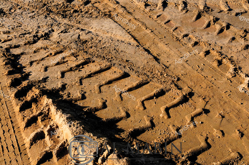
Deep tire tracks and boot prints create intricate patterns in the rich brown soil texture, revealing the heavy traffic of a droving operation along this stock route. The churned earth displays a complex web of impressions from cattle hooves, vehicle tires, and farm workers, creating a detailed record of livestock movement across the paddock. Shadows cast by the late afternoon sun accentuate the depth and texture of each impression in the compacted dirt surface. This weathered terrain showcases the intensive use typical of Australian cattle stations during mustering and droving activities.
 Image
Image
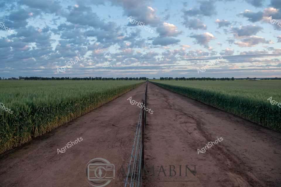
Dusty rural road bisects a lush wheat field under a dramatic dawn sky, stretching toward distant treeline in classic Australian agricultural landscape. Soft morning light illuminates layers of cloud drifting across pale blue horizons, casting gentle shadows across verdant green crop rows. A wire fence runs precisely down the road's center, creating a perfect geometric division of the agricultural terrain. The dirt track shows subtle wear from farm vehicles, with slight ruts and compacted earth indicating regular harvest season traffic. Wheat plants display a rich, deep green coloration, suggesting healthy growth and promising agricultural potential for this regional farming property. The expansive panorama captures the serene beauty of broadacre farming, highlighting the precise engineering and natural harmony of contemporary agricultural practice in rural New South Wales.
 Image
Image
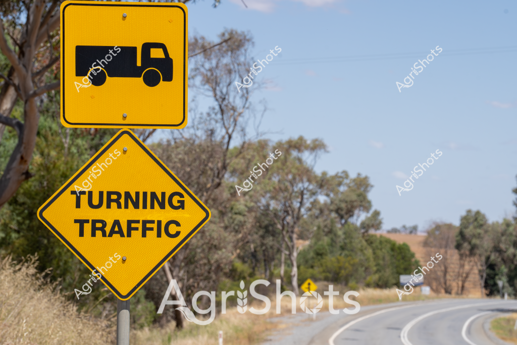
The image captures a critical road safety sign sequence alerting drivers to potential truck turning movements along a rural highway. A bright yellow diamond-shaped sign depicts a truck silhouette, complemented by another yellow sign reading "TURNING TRAFFIC" mounted below it. The roadside setting features a gently curving bitumen road framed by native Australian bushland, with silvery-green eucalyptus trees and dry grass verges typical of an inland landscape. The warning signage represents an essential element of transportation infrastructure, highlighting the importance of awareness for heavy vehicle movements in rural and agricultural regions. Positioned at a road bend, the signs provide clear visual guidance to approaching drivers about potential truck turning zones, which is particularly crucial in areas with significant agricultural transport activity. The bright yellow color of the signs ensures high visibility against the muted tones of the surrounding landscape, creating a stark contrast that draws immediate attention. The placement suggests this is likely a route frequently used by agricultural transport vehicles, possibly servicing nearby farming properties, livestock stations, or crop-producing regions. The scene embodies the practical safety considerations essential to Australia's rural transportation network, where agricultural logistics and road safety intersect to protect both commercial operators and general motorists.
 Image
Image
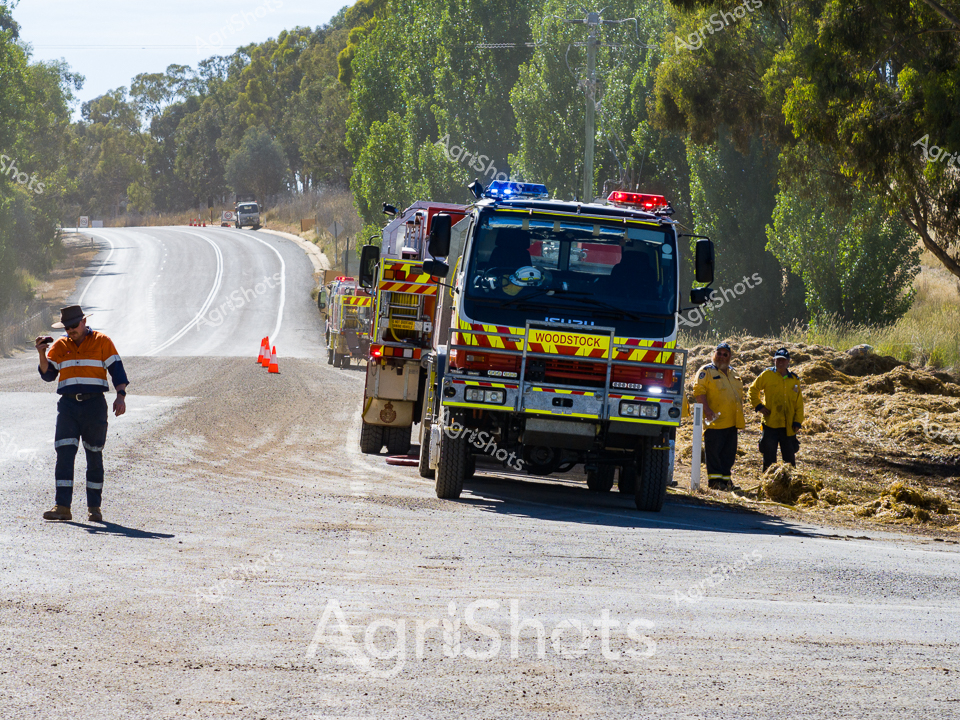
Rural Emergency Response on a Dusty Country Road A Woodstock fire truck stands ready on a sun-baked gravel road, its vibrant red and yellow warning colors cutting through the golden summer landscape. Surrounding eucalyptus trees cast dappled shadows as emergency personnel in high-visibility workwear move purposefully around the vehicle. One worker in an orange and navy reflective safety uniform walks along the road's edge, while two others in bright yellow protective gear stand near the roadside. The scene captures the critical preparedness of rural emergency services, with blue lights flashing and traffic cones strategically placed to manage the incident area. The winding road stretches into the distance, lined with native Australian bushland, suggesting a typical country highway where rapid response can mean the difference between containment and catastrophe. The image speaks to the resilience and professionalism of regional first responders, always vigilant and ready to protect communities in challenging environments.
 Image
Image
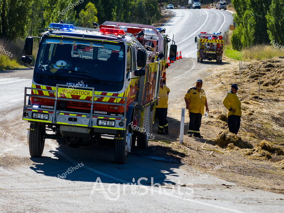
Woodstock Rural Fire Service responds to a potential grassland emergency on a sun-drenched summer day. A robust, high-clearance fire truck branded with the Woodstock insignia sits on a dusty, undulating rural road bordered by verdant trees, its blue and red emergency lights casting sharp contrasts against the dry landscape. Two firefighters in distinctive yellow protective uniforms stand alongside the vehicle, their postures suggesting careful assessment of the surrounding grasslands. The scene captures the vigilant preparedness of Australia's rural emergency services, with another fire support vehicle visible in the background and traffic cones marking a controlled perimeter. Shadows stretch long and crisp, indicating mid-morning sunlight, while the parched grasses and disturbed earth hint at the constant fire risk in agricultural regions during high-temperature seasons. This image embodies the quiet heroism of local emergency response teams, always ready to protect communities and agricultural assets from potential wildfire threats.
 Image
Image
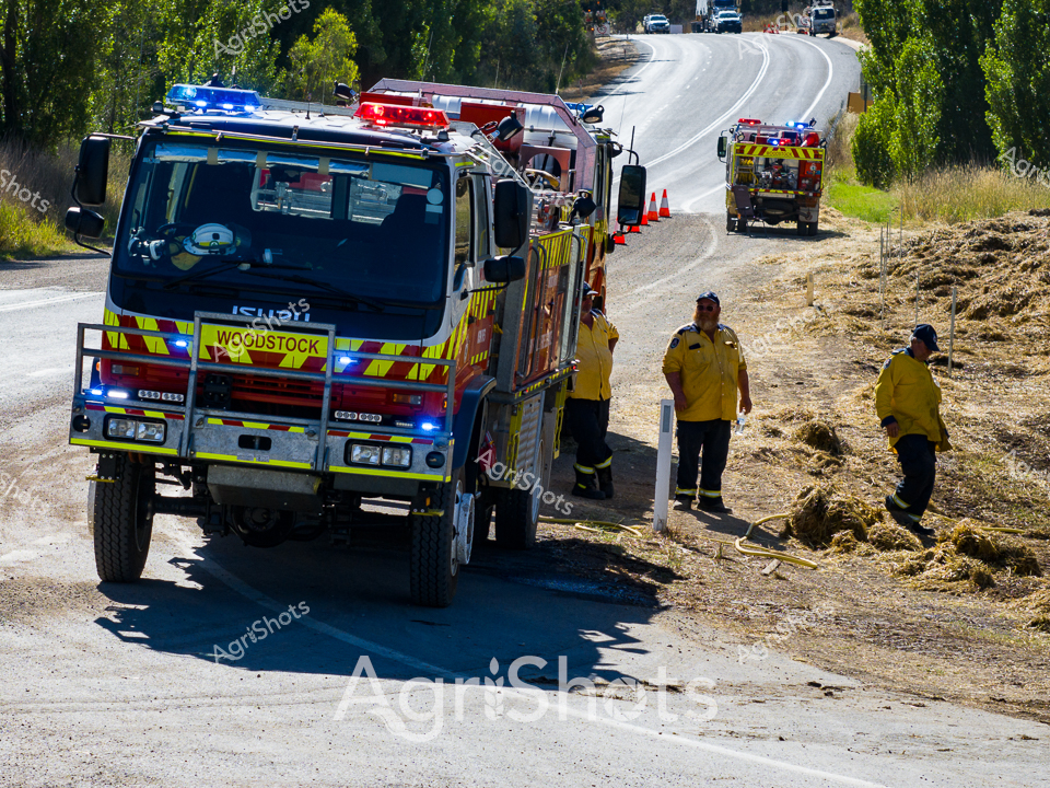
Woodstock Rural Fire Service responds to an emergency along a dusty country road in New South Wales' Central West Region. A robust fire truck sits prominently in the foreground, its bright yellow and reflective striped panels gleaming under the intense summer sunlight. Two firefighters in matching yellow protective gear stand attentively beside the vehicle, their stance suggesting careful assessment of the surrounding dry grasslands and sparse roadside vegetation. The scene captures the critical preparedness of rural emergency services, with multiple fire vehicles positioned strategically and traffic warning cones deployed to manage the incident area. Shadows cast by the truck and nearby trees create a stark contrast against the bleached gravel road, highlighting the harsh environmental conditions that make bushfire prevention and response so crucial in Australian agricultural landscapes. The image radiates a sense of professional vigilance and readiness, embodying the dedication of volunteer firefighters who protect rural communities during challenging summer seasons.
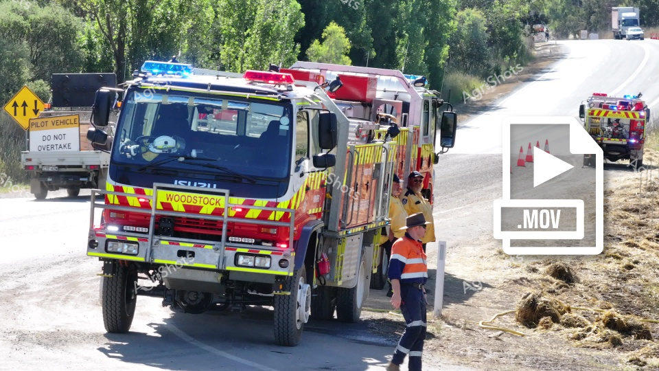 ▶ Video
Rural Road Emergency Response: Woodstock Fire Brigade Brilliant summer sunlight bathes a rural roadside where a vibrant Isuzu fire truck from the Woodstock brigade stands ready for action. Fluorescent yellow-and-red safety markings contrast sharply against the truck's gleaming paintwork, while traffic cones and a "Pilot Vehicle" sign indicate an active incident zone. A fire service personnel in high-visibility orange and navy workwear stands vigilantly beside the robust emergency vehicle, suggesting preparation for potential bushfire or landscape management intervention. The surrounding landscape reveals characteristic Australian rural terrain - dry grasses, scattered eucalyptus trees, and an open road stretching toward distant horizons. Another emergency response vehicle waits in the background, reinforcing the coordinated nature of rural fire service operations. The scene captures the critical infrastructure and professional readiness of regional emergency services, highlighting the essential role these teams play in protecting communities and landscapes during challenging environmental conditions.
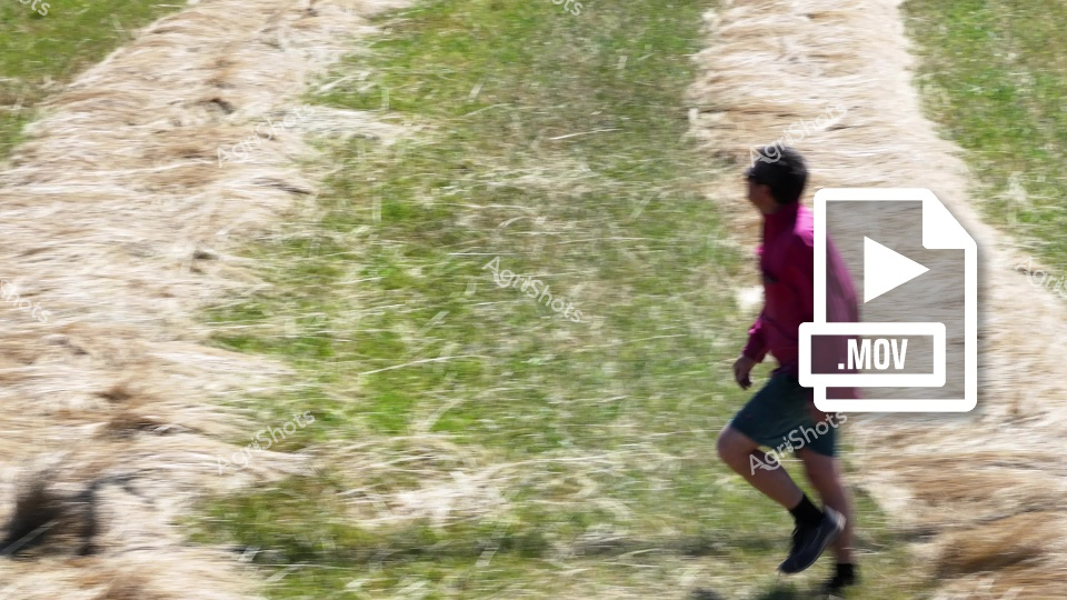 ▶ Video
A person in a magenta top and dark shorts runs along a dusty, uneven agricultural track with green and beige textured terrain. The path appears to be a farm or rural access road, with sparse vegetation and a rough, worn surface indicating frequent vehicle or foot traffic. The individual moves with dynamic motion, their body slightly leaned forward, suggesting purposeful movement across the landscape. Dry grasses and weathered ground create a neutral-toned background that highlights the runner's vibrant clothing. The scene captures the rugged, functional nature of rural pathways and the active movement of someone traversing agricultural terrain.
 Image
Image
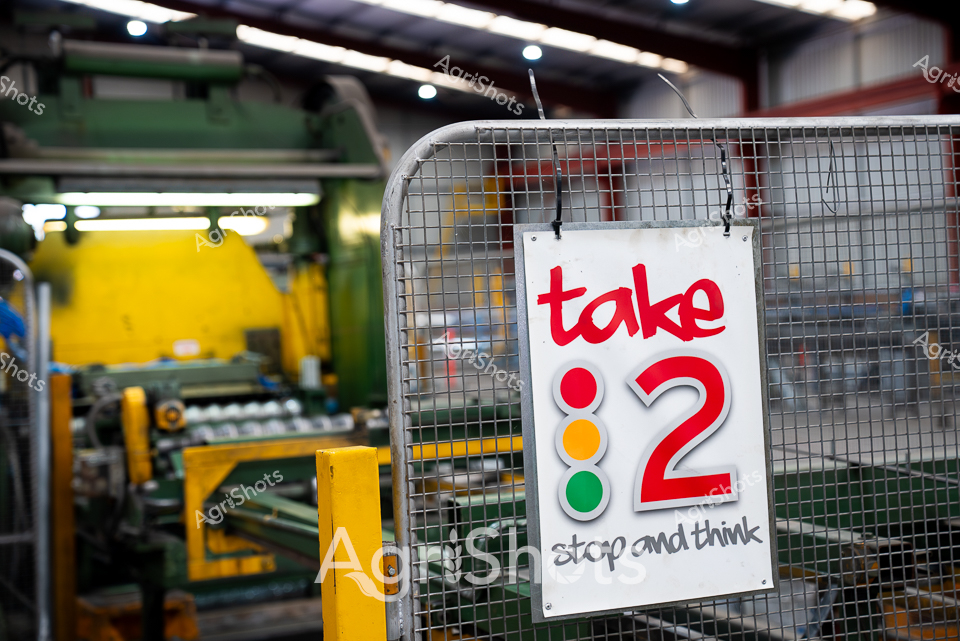
Safety signage commands attention in this industrial manufacturing setting, highlighting workplace risk management protocols. A white mesh-backed sign reads "take 2" with a traffic light-style graphic of red, yellow, and green indicators, accompanied by the instruction "stop and think" - a critical workplace safety reminder. The sign hangs on an industrial metal fence, with bright yellow industrial machinery and equipment visible in the blurred background. The color palette speaks to Australian industrial design - bold safety yellows, industrial greys, and high-visibility signage that prioritizes worker protection. This image captures the pragmatic safety culture of Australian manufacturing, where systematic pause and reflection can prevent workplace incidents. The crisp signage against the industrial backdrop represents the Riverina region's commitment to modern, safety-conscious industrial practices.
 Image
Image
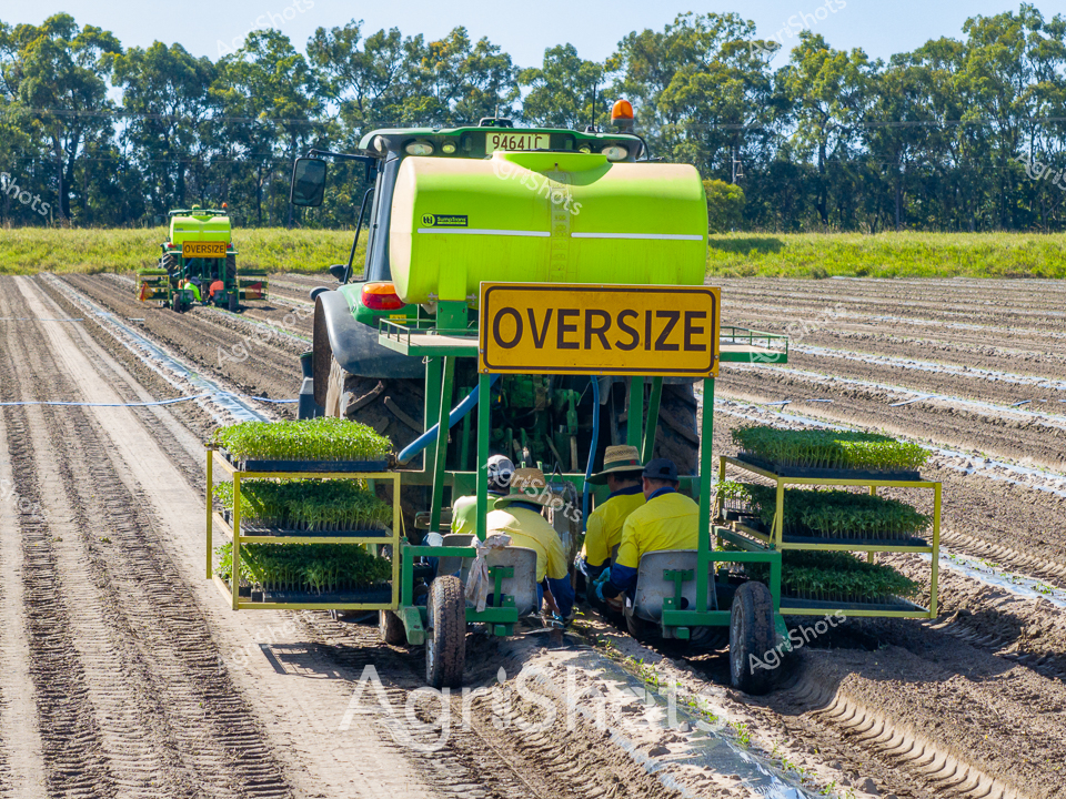
In the rich agricultural landscape of Queensland's Queensland, a vibrant John Deere planter traverses meticulously prepared soil rows, its brilliant lime-green chassis gleaming under the clear winter sunlight. Two farm workers in high-visibility yellow shirts carefully manage trays of young seedlings, systematically transplanting delicate green shoots into freshly cultivated ground. The "OVERSIZE" warning sign alerts nearby traffic to the agricultural machinery's width, highlighting the precision and scale of modern horticultural practices. Rows of dark, carefully tilled earth contrast sharply with the verdant young plants and the surrounding eucalyptus woodland, creating a textural tapestry of agricultural innovation. The machinery moves with methodical purpose, representing the intersection of technological advancement and traditional farming techniques that sustain Australia's produce industry. This scene captures the essence of modern agriculture - technical skill, careful planning, and the transformative potential of carefully nurtured seedlings destined to become a bountiful crop.
 Image
Image
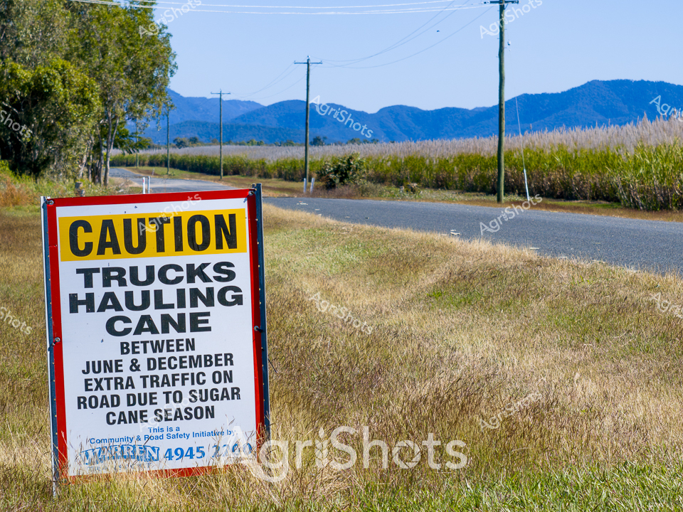
In the heart of Queensland's sugar cane region, a cautionary roadside sign stands sentinel against a backdrop of rolling blue mountains and lush agricultural landscape. The vibrant yellow and red "CAUTION" sign alerts travelers to increased truck traffic during the critical sugar cane harvest season, spanning from June to December. Weathered utility poles line the narrow asphalt road, which cuts through golden grasslands and verdant sugar cane fields, capturing the essence of rural Australian agricultural infrastructure. Misty mountain ranges rise softly in the distance, creating a serene counterpoint to the bustling seasonal harvesting activity. The landscape speaks to the rhythmic cycles of agricultural production, where every season brings its own demands and transformations. This scene epitomizes the quiet determination of Queensland's agricultural communities, where transportation and harvesting are synchronized in a delicate dance of productivity and safety.
 Image
Image
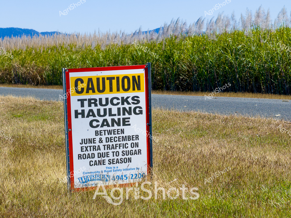
Sugarcane harvest season transforms the rural Queensland landscape into a bustling agricultural corridor. A vibrant yellow and red caution sign stands sentinel on the roadside, warning of increased truck traffic between June and December during the sugar cane harvesting period. Lush green and silvery-grey cane fields stretch toward distant blue mountain ranges, their tall grasses swaying in the winter breeze. The roadside verge is a muted golden-brown, contrasting with the rich agricultural backdrop, highlighting the cyclical nature of the sugar industry's seasonal rhythms. This community road safety initiative captures the essence of rural Queensland's agricultural production, where careful logistics and community awareness ensure smooth harvesting operations. The sign, marked with local contact details, represents the collaborative spirit of agricultural regions, where communication and preparedness are key to managing the complex movements of harvest season.
 Image
Image
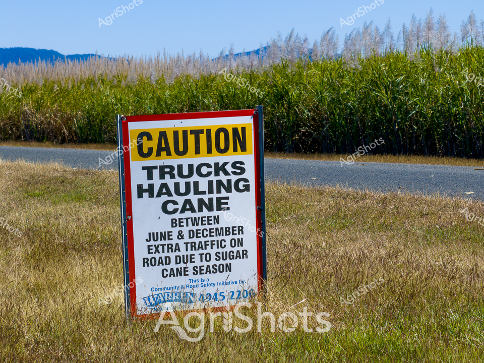
Rural Queensland roadsides pulse with agricultural activity during the intense sugar cane harvest season. A vivid yellow and black caution sign alerts travelers to increased truck movements between June and December, marking the critical sugar cane transport period. Lush green sugarcane fields stretch across the landscape, punctuated by distant blue mountain ranges and silvery-grey power lines silhouetted against the clear winter sky. The roadside grass appears dry and golden, contrasting sharply with the verdant crop behind, highlighting the seasonal transitions of the tropical agricultural landscape. This community road safety initiative captures the rhythm of rural production, where harvest logistics and transportation safety become paramount during peak cutting months. The sign's bold typography and bright colors communicate an urgent message to drivers about the increased industrial traffic traversing these rural thoroughfares.
 ▶ Video
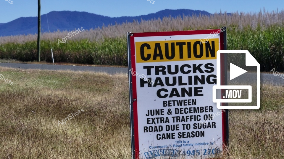
A caution sign alerts drivers about increased truck traffic during sugar cane hauling season, positioned alongside a road with tall sugarcane fields and blue mountain ranges in the background. The yellow and red warning sign provides details about extra road activity between June and December, highlighting the agricultural significance of the region.