Results for “flood”
 Image
Image
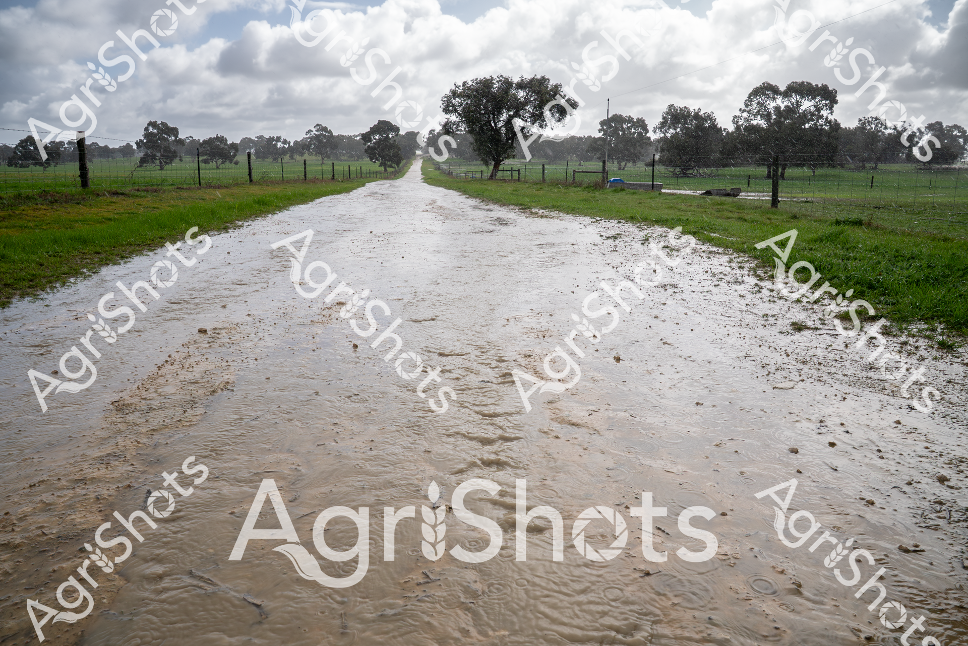
A flooded rural road cuts through green pastures in South Australia's South East region during winter. Muddy water covers the dirt road, surrounded by fenced paddocks and scattered eucalyptus trees under a cloudy, gray sky, highlighting the heavy rainfall's impact on the agricultural landscape.
 Image
Image
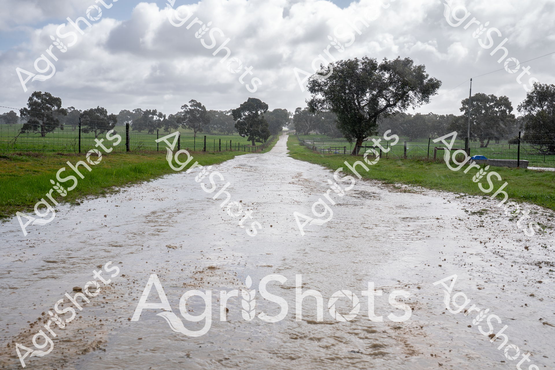
A flooded rural road winds through a pastoral landscape in South Australia's South East region during winter. Rainwater has completely covered the dirt track, creating a reflective surface bordered by green pastures and scattered gum trees. The cloudy sky and saturated ground emphasize the wet seasonal conditions typical of the area.
 ▶ Video
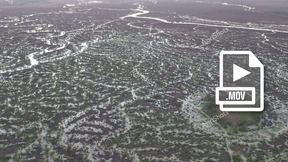
This aerial drone footage captures a mesmerizing landscape of intricate water patterns and wetlands, likely depicting a complex river delta or flood plains region. The video reveals an expansive terrain with meandering waterways creating an almost fractal-like network of white and dark gray channels across the landscape. From this high-altitude perspective, the water systems appear like delicate, branching veins spreading across a textured surface, revealing the dynamic hydrology of the region. The clip showcases the natural geometry of water movement, with multiple streams and tributaries intertwining and dispersing across what seems to be a marshy or coastal environment. The monochromatic palette of grays and whites creates a stark, almost abstract visual effect, highlighting the intricate patterns formed by water and land interactions. Subtle variations in terrain texture suggest potential vegetation or geological formations beneath the water's surface. This video provides a stunning aerial perspective that transforms a complex geographical landscape into an almost artistic representation of natural water systems, offering viewers a unique and breathtaking view of environmental interconnectedness typically unseen from ground level.
 Image
Image
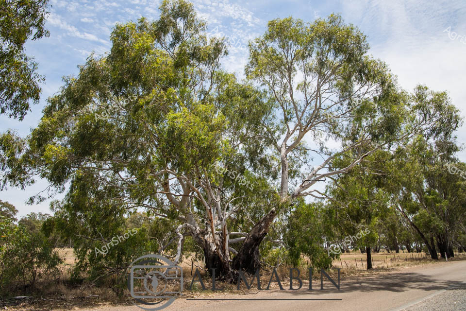
Ancient River Red Gum sentinel stands resolute beside a rural road in Victoria, its massive weathered trunk and sprawling branches telling centuries of agricultural landscape history. The iconic eucalyptus dominates the foreground, its silvery-white bark contrasting against dense green foliage and a soft blue cloudscape typical of the Australian pastoral countryside. Surrounding paddocks stretch into the distance, revealing the classic dry grassland terrain of regional Victoria, with fence lines and scattered trees marking the agricultural boundaries. The tree's gnarled and twisted form speaks to resilience, having weathered countless seasons of drought, flood, and burning sun - a living monument to the endurance of both landscape and agriculture. Soft afternoon light filters through its branches, casting dappled shadows on the unsealed road and surrounding ground, creating a sense of timeless tranquility. This majestic River Red Gum embodies the spirit of the Australian rural environment - strong, adaptive, and deeply rooted in the agricultural narrative of the land.
 Image
Image
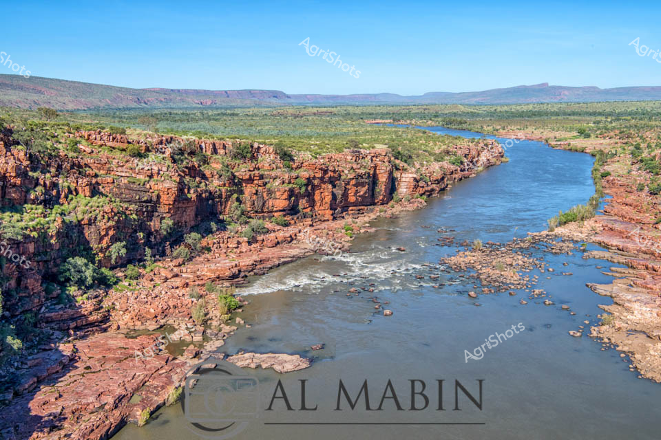
Rugged Kimberley River Landscape: Ancient Geological Majesty Steep crimson rock walls plunge dramatically into the flowing waters of a powerful river, revealing the raw geological heritage of Western Australia's Kimberley region. Layered sandstone cliffs in rich ochre and rust tones rise vertically, carved by millennia of erosion, creating a stunning natural amphitheater of stone and water. The river winds through a vast pastoral landscape, its blue-grey waters breaking against rocky outcrops and scattered boulders, creating white foam rapids that contrast against the arid surrounding terrain. Sparse vegetation clings to the rocky surfaces, with low scrub and scattered trees populating the distant flood plains and plateaus that stretch toward a distant horizon. This untamed landscape represents the dramatic essence of Australian station country - a testament to the resilient ecosystem and geological complexity of northwest Western Australia. The expansive scene captures the raw, unfiltered beauty of a landscape shaped by water, wind, and time, embodying the rugged character of one of Australia's most iconic natural environments.
 Image
Image
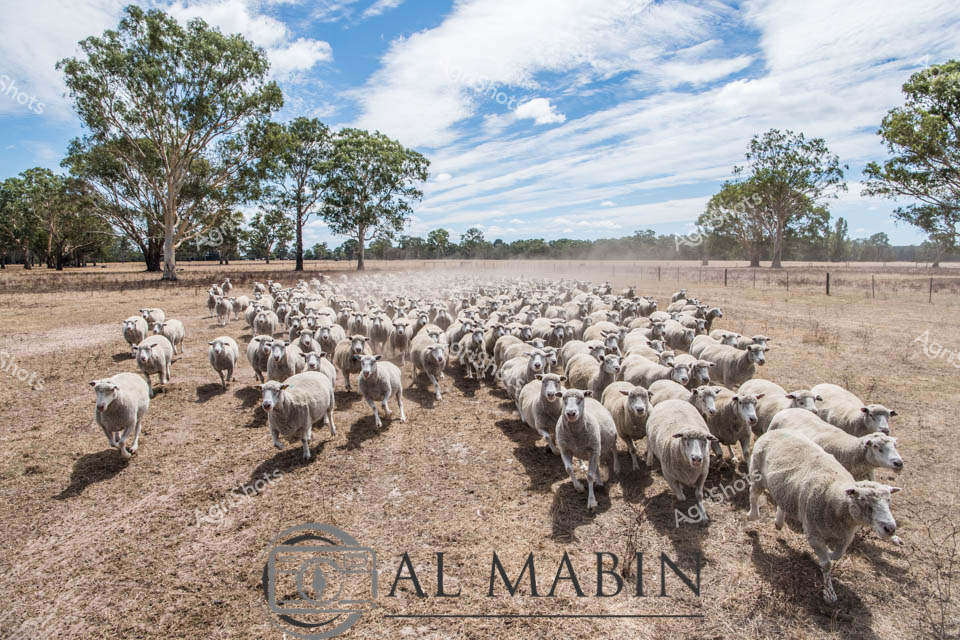
Merino ewes flood a golden paddock under a vast azure sky, casting long shadows across the dry autumn landscape. The expansive flock moves with collective purpose across a parched pastoral setting in rural South Australia, surrounded by scattered eucalyptus trees and distant horizons. These Poll Dorset sheep, prized for their robust wool and meat qualities, demonstrate the resilience of Australian livestock in challenging seasonal conditions. Dust rises subtly around their woolly bodies, highlighting the movement and dense clustering of the herd against the weathered fenceline and textured ground. Soft white and grey fleeces contrast beautifully with the sun-bleached paddock, capturing the essence of broad-acre sheep production in the Barwon South West region.
 Image
Image
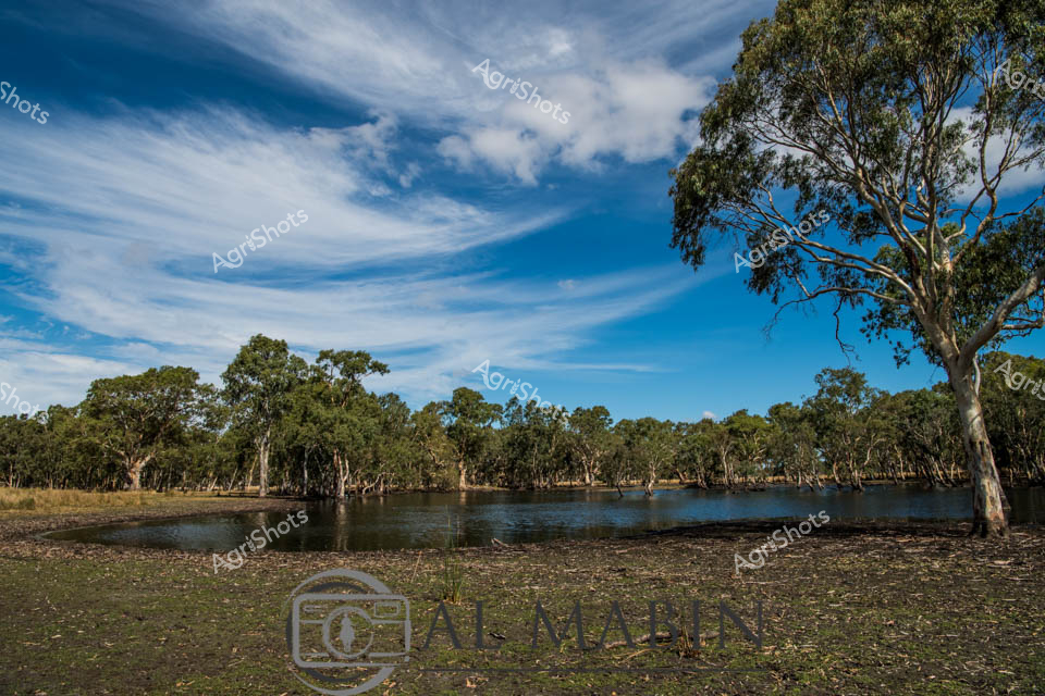
Billabong Serenity: River Red Gums Embrace Woodland Waters A tranquil inland waterway nestles among weathered river red gums, capturing the essence of South Australian woodland landscapes. Soft wispy clouds drift across a brilliant azure sky, casting delicate shadows on the still water surface where ancient eucalyptus trees stand partially submerged. The foreground reveals a textured ground of sun-bleached earth and scattered vegetation, speaking to the resilient ecosystem of the region. Mature gum trees with distinctive pale bark twist and reach skyward, their branches telling silent stories of drought, flood, and endurance. This serene scene embodies the quiet strength of Australian rural landscapes - a moment of peaceful reflection where water and woodland intersect, revealing the subtle beauty of the continent's interior. The expansive sky and reflective waters suggest a timeless quality, capturing the raw, understated magnificence of South Australia's natural environment.
 Image
Image
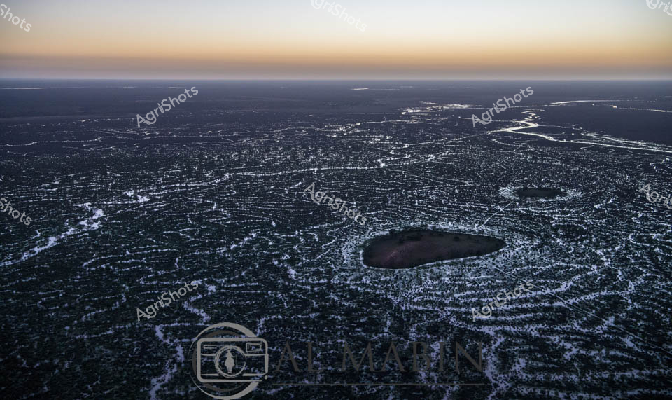
Dawn breaks over Channel Country, revealing an ethereal aerial landscape of intricate waterways carving silvery patterns across the dark earth. The serpentine river systems of western Queensland spread like delicate frost-like veins, capturing the first soft golden light of sunrise. This expansive aerial perspective highlights the complex hydrology of Australia's remote inland regions, where seasonal flooding transforms arid landscapes into temporary aquatic networks. Dark pools of water contrast against the pale, meandering water channels, creating a mesmerizing topographical mosaic that speaks to the dynamic environmental cycles of Australia's interior. The image captures the breathtaking moment when water brings life and transformation to this seemingly harsh but fundamentally resilient landscape, revealing the subtle beauty of flood plains during the early morning hours. From this vantage point, the immense scale of the Queensland outback becomes palpable - a testament to the dramatic and unpredictable nature of Australia's inland waterways.
 Image
Image
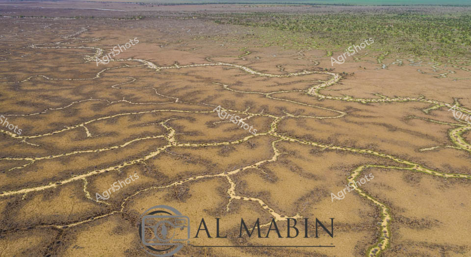
Branching waterways weave an intricate network across the parched Channel Country landscape, revealing the ephemeral lifelines of Queensland's remote interior. Limestone-edged creek lines trace delicate golden-green pathways through ochre and umber plains, capturing the subtle hydrology of an arid pastoral ecosystem. During rare flood events, these seemingly fragile watercourses transform the landscape, carrying vital moisture across vast cattle station territories and sustaining native grasses that support extensive beef production. The aerial perspective unveils a natural irrigation system where water navigates subtle topographical contours, creating a mesmerizing organic pattern that speaks to the resilience of Australia's inland agricultural environments. Soft green vegetation clusters along the watercourse edges contrast with the dominant brown earth, highlighting the critical role of water in this unforgiving terrain.
 Image
Image
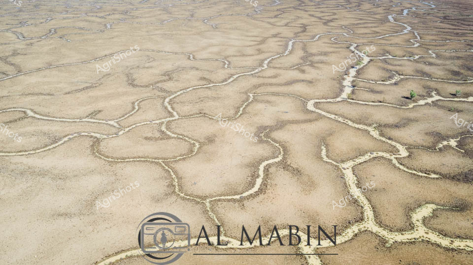
Intricate braided waterways snake across the sun-baked earth of Channel Country, revealing the ephemeral hydrology of Queensland's vast inland landscape. Aerial perspective captures the delicate silver-white tendrils of seasonal creek networks meandering through an ochre and taupe terrain, tracing the subtle topographical contours like fine veins across a dried riverbed. These seasonal water channels, characteristic of Australia's arid interior, demonstrate the resilient ecological patterns of flood plains that briefly come alive during rare rainfall events. Windorah's legendary landscape unfolds in this image - a testament to the dynamic hydraulic systems that sustain pastoral ecosystems across remote western Queensland. Sparse vegetation punctuates the margins of these water pathways, highlighting the sparse yet strategic vegetation adapted to survive in these extreme environmental conditions.
 Image
Image
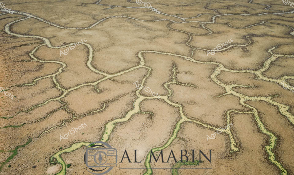
Serpentine waterways trace delicate green veins across the arid ochre landscape of Queensland's Channel Country, revealing the ephemeral life-giving networks that define this extraordinary inland ecosystem. These sinuous channels—bright emerald against the sandy beige terrain—represent the intricate river systems that periodically flood, transforming seemingly barren ground into a complex biological canvas. The aerial perspective captures the organic, branching patterns of waterways that sustain vast pastoral stations, documenting the remarkable hydrology of Australia's inland rivers during seasonal inundation. Each meandering green line represents a potential lifeline for livestock and native wildlife, highlighting the remarkable resilience of agricultural landscapes in one of the continent's most challenging environments. This image encapsulates the profound relationship between water, land, and survival in Australia's remote interior.
 Image
Image
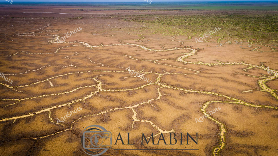
Serpentine waterways trace golden-brown earth like delicate veins across the expansive Channel Country landscape. Aerial perspective reveals the intricate network of ephemeral creek lines spreading across the arid Queensland landscape, where subtle green vegetation marks the moisture-rich pathways. The seasonal flooding has transformed the dusty plains into a complex hydrology of interconnected waterways, highlighting the dramatic seasonal transformations of Australia's inland pastoral regions. Windorah's distinctive landscape unfolds in earthy ochres and muted greens, showcasing the resilient ecosystem of remote western Queensland. Subtle variations in terrain create a mesmerizing topographic pattern, where water's ancient pathways carve intricate routes through the station country. The image captures the breathtaking scale and delicate ecological balance of Australia's inland water systems, where every rainfall and flood cycle reshapes the terrain in a timeless dance of renewal and survival.
 Image
Image
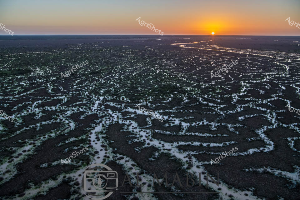
Dawn breaks over Channel Country's mesmerizing landscape, revealing an intricate network of ephemeral waterways stretching across dark earth at sunrise. The braided creek systems of western Queensland glow with silvery-white ribbons of water, creating an extraordinary natural irrigation pattern that transforms the arid landscape into a complex hydological tapestry. Soft golden light crests the horizon, illuminating the serpentine water channels that wind through the dark soil, capturing the essence of this remote Australian inland ecosystem. These seasonal flood plains, characteristic of Queensland's western regions like Windorah, demonstrate nature's extraordinary capacity for water distribution across seemingly inhospitable terrain. The aerial perspective highlights the delicate balance of water and land, where each sinuous stream represents potential life and regeneration in this challenging agricultural environment. The image captures the raw, elemental beauty of Australia's interior - a landscape of extreme conditions where water is both rare and transformative.
 Image
Image
Aerial rivers of liquid silver meander across the parched Channel Country landscape, tracing delicate waterways through the rich ochre and umber earth of western Queensland. Flood waters from distant rains create an intricate network of serpentine channels, transforming the arid terrain into a complex hydological tapestry. Stunted trees with pale golden foliage cluster along the watercourse, providing rare points of vertical relief in this expansive horizontal panorama. The landscape reveals the extraordinary resilience of Australia's inland ecosystems, where ephemeral water systems breathe temporary life into seemingly dormant ground. Windorah's legendary beef station country displays its remarkable geological complexity, with each sinuous water channel revealing the subtle topographical variations that define this harsh yet beautiful environment. The aerial perspective captures the raw, elemental beauty of Queensland's remote interior, where water is the most precious and transformative element in an otherwise unforgiving landscape.
 Image
Image
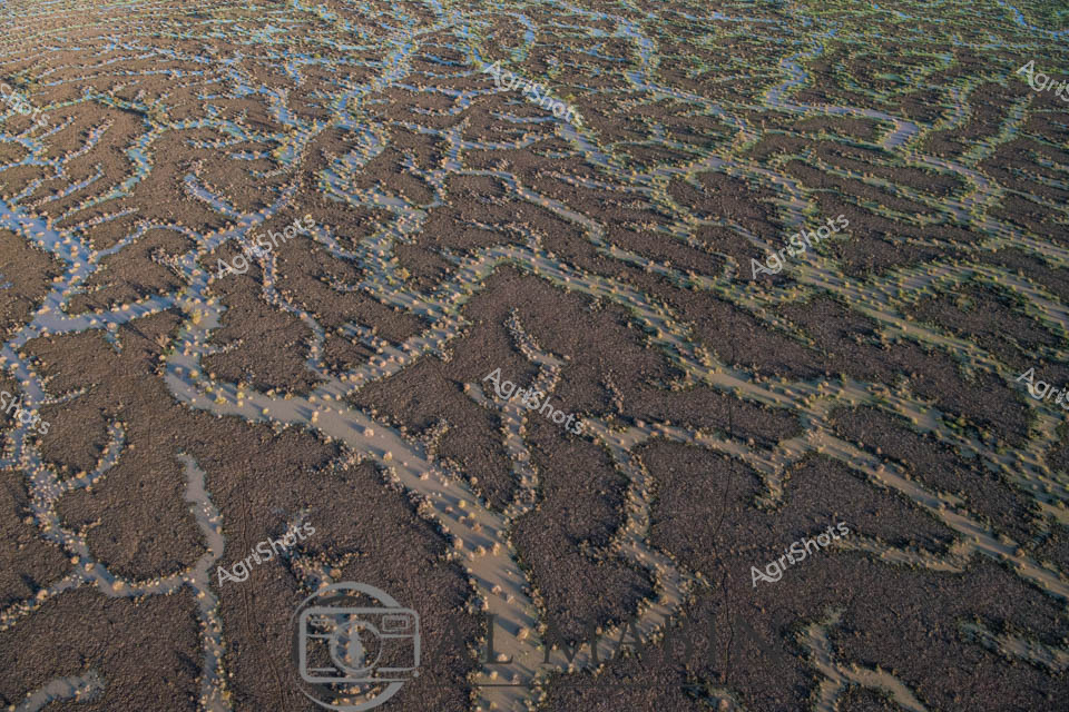
Serpentine waterways thread through the arid Channel Country landscape, capturing the ephemeral beauty of flooding season in remote Queensland. Intricate blue-brown rivulets carve delicate patterns across the parched earth, revealing the dynamic hydrology of this harsh pastoral region. Small stones and pebbles line the sinuous water channels, creating natural borders that highlight the water's meandering journey across the station's expansive terrain. The aerial perspective transforms the landscape into an abstract canvas, showcasing how water transforms this typically dry landscape into a complex network of life-giving streams. Subtle variations of brown, tan, and blue tones create a mesmerizing topographical map that speaks to the resilience of Australia's inland ecosystems. This extraordinary image captures the fleeting moment when flood waters breathe temporary life into the seemingly barren outback, illustrating the critical role of seasonal water flows in sustaining pastoral lands and indigenous ecological systems.
 Image
Image
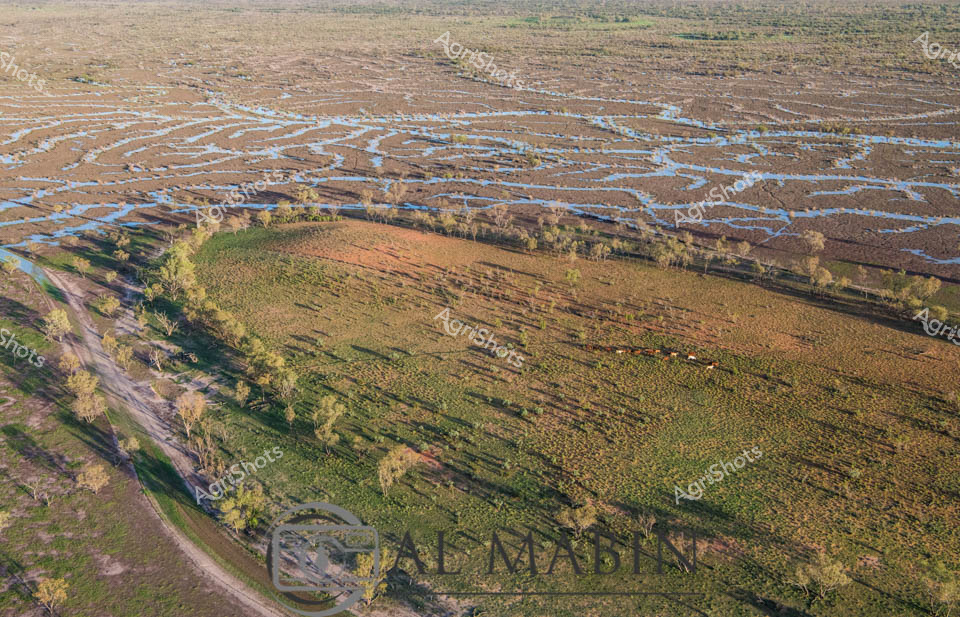
Aerial panorama of Channel Country in western Queensland during flood season, where intricate blue waterways weave across the ochre landscape like delicate capillaries. Lush green pastures curve alongside serpentine water channels, creating a mesmerizing natural tapestry that epitomizes the dynamic ecosystem of Australia's inland pastoral regions. Sparse eucalyptus trees punctuate the floodplain, their silvery-green foliage providing subtle texture against the expansive brown and blue terrain. This extraordinary vista captures the resilience of beef cattle stations during seasonal inundation, where strategic water management transforms seemingly arid landscapes into temporary aquatic networks that nourish grasslands and sustain livestock production. The image reveals the breathtaking scale of Queensland's remote agricultural frontiers, where water becomes a transformative force reshaping the terrain and supporting complex ecological systems. Golden morning light bathes the landscape, highlighting the nuanced topographical details of this remarkable inland watershed.
 Image
Image
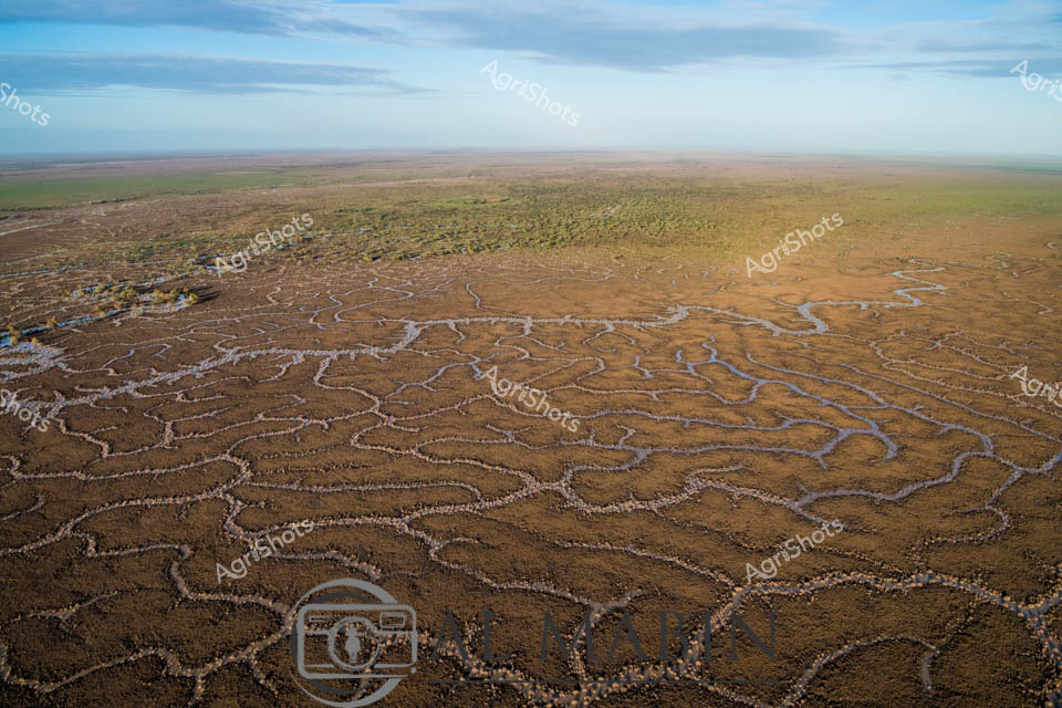
Serpentine waterways thread through the arid Channel Country of Queensland, capturing the ephemeral beauty of this remote pastoral landscape. Intricate river channels meander across the ochre-brown earth, creating a complex network of water tributaries that pulse with life during seasonal flood events. The aerial perspective reveals the stunning geological artistry of natural water distribution, where each sinuous channel carves delicate pathways across the expansive floodplains. Sparse vegetation in muted greens and yellows punctuates the broader landscape, highlighting the resilient ecosystem of this harsh yet magnificent Australian outback region. Soft blue skies with gentle cloud formations stretch endlessly above the terrain, providing a luminous backdrop to the earth's remarkable hydological patterns. This extraordinary landscape represents the lifeblood of beef stations in Queensland's remote interior, where water management and natural flooding cycles are critical to sustainable pastoral agriculture.
 Image
Image
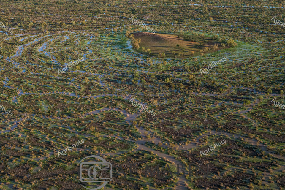
Aerial View of Channel Country Floodplains near Windorah, Queensland Serpentine waterways slice through an emerald and azure landscape, revealing the breathtaking hydrology of Queensland's remote Channel Country. Seasonal flood waters have transformed the arid terrain into a complex network of blue channels and verdant green vegetation, creating a mesmerizing mosaic of ecological renewal. A solitary vegetated island rises from the watery expanse, its golden-green trees standing resilient amid the liquid geography of this expansive pastoral region. The intricate water patterns demonstrate the cyclical life-giving power of seasonal flooding, crucial for sustaining cattle stations and native ecosystems in this harsh inland environment. Subtle variations of blue, green, and ochre merge and intertwine, showing how water reshapes the landscape, replenishing soil and supporting pastoral agriculture in one of Australia's most demanding agricultural zones. This aerial perspective captures the raw, elemental beauty of outback Queensland, where water is the primary architect of survival and regeneration.
 Image
Image
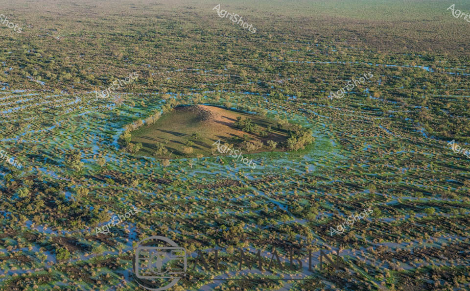
Aerial vista of Channel Country in Queensland during peak flood season, a mesmerizing landscape of interconnected waterways and verdant floodplains stretching to the horizon. A solitary elevated landmass—likely a cattle station's strategic high ground—emerges like an island sanctuary amidst the expansive blue-green aquatic terrain. The intricate network of water channels weaves between sparse vegetation, creating a mosaic of azure and olive hues that characterize this unique Australian inland ecosystem. Seasonal flooding transforms the arid landscape into a dynamic, life-sustaining environment, critical for supporting cattle grazing and native biodiversity in this remote region. The subtle undulations of the terrain reveal the complex hydrology of Channel Country, where water becomes the defining element of survival and agricultural potential. This breathtaking aerial perspective captures the raw, untamed beauty of Queensland's inland waterways, showcasing the resilience and adaptive nature of Australia's agricultural landscapes.
 Image
Image
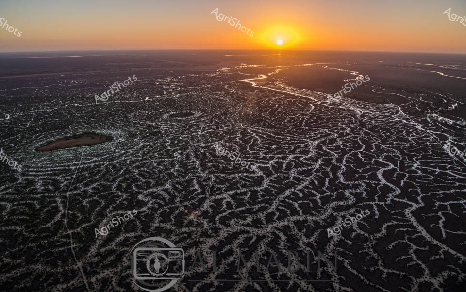
Sunrise bathes the intricate waterways of Channel Country in a golden light, revealing the mesmerizing network of braided river channels stretching across the arid Queensland landscape. The aerial perspective captures the delicate, lace-like patterns of water threading through the dark earth, creating a stunning natural mosaic that defines this unique pastoral ecosystem. As the sun crests the horizon, its warm rays illuminate the complex hydraulic system that sustains life in this remote beef cattle production region. The waterways - likely Cooper Creek or a similar inland river system - demonstrate the critical importance of water management in Australian agriculture, showing how these ephemeral water networks support extensive cattle stations during both flood and drought conditions. The intricate branching channels reflect the resilience of the landscape, with each silvery stream potentially representing a lifeline for cattle grazing in this challenging environment. This breathtaking vista encapsulates the raw beauty of Queensland's inland pastoral zones, where water is the most precious resource in a seemingly inhospitable terrain.
 Image
Image
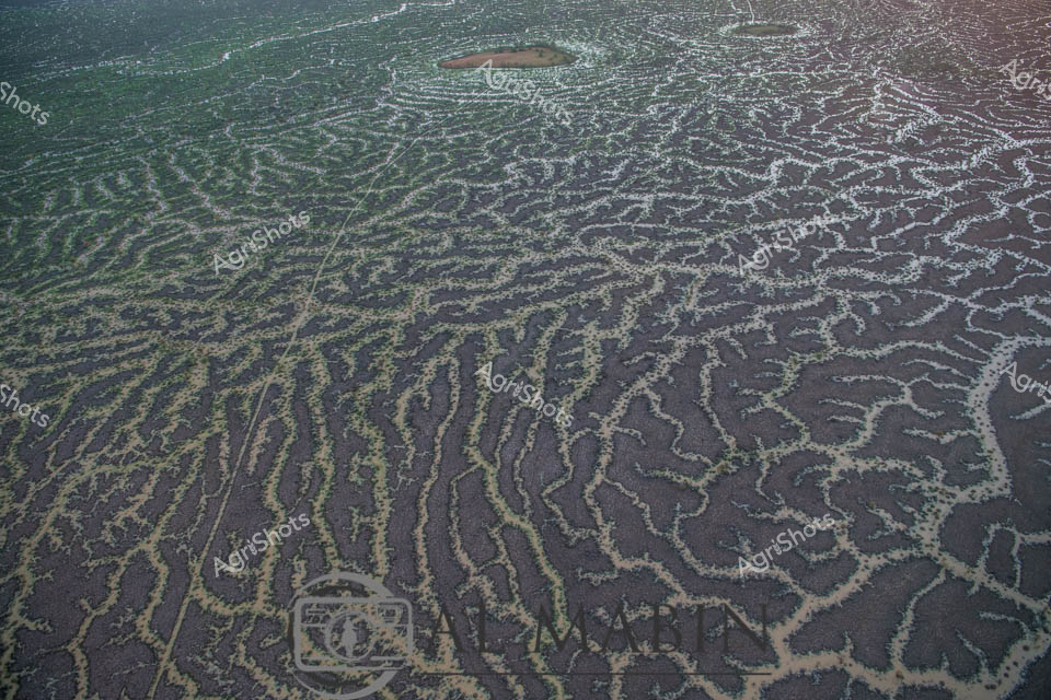
Aerial view of intricate water channels spreading across an arid Queensland landscape, capturing the mesmerizing patterns of flood irrigation in Channel Country. Sinuous lines of water weave through dark and green-tinted earth, creating a natural labyrinth that resembles delicate veins across the barren terrain. The complex network of waterways reveals the transformative power of seasonal flooding, where ephemeral rivers and creeks spread nutrients and moisture across the harsh outback landscape. Subtle gradients of green, brown, and grey blend together, showcasing the delicate balance of water management in Australia's remote beef production regions. This extraordinary perspective highlights the resilience of pastoral landscapes, where strategic water distribution enables livestock grazing in some of the continent's most challenging environments. The image captures the raw beauty of Queensland's inland hydrology, where every water channel represents a lifeline for agricultural survival in an unforgiving ecosystem.
 Image
Image
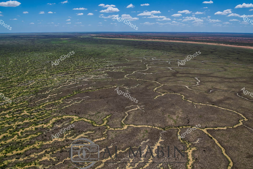
Aerial expanse of Channel Country in western Queensland reveals nature's extraordinary irrigation network. Intricate waterways trace delicate, serpentine patterns across the arid landscape, creating a complex network of seasonal creek channels that transform the dry terrain during flood events. The natural hydraulic system spreads across muted earth tones - deep charcoal greys, olive greens, and dusty yellows - demonstrating the remarkable adaptation of Australia's inland ecosystems. Sparse vegetation clusters around the water channels, highlighting the resilience of plant life in this challenging environment. Expansive blue skies with scattered white clouds provide a luminous backdrop, emphasizing the immense scale of this remote pastoral region. This landscape represents the vital water management systems that sustain livestock production in some of Australia's most demanding agricultural territories, where strategic water distribution can mean survival for cattle stations spanning thousands of hectares.
 Image
Image
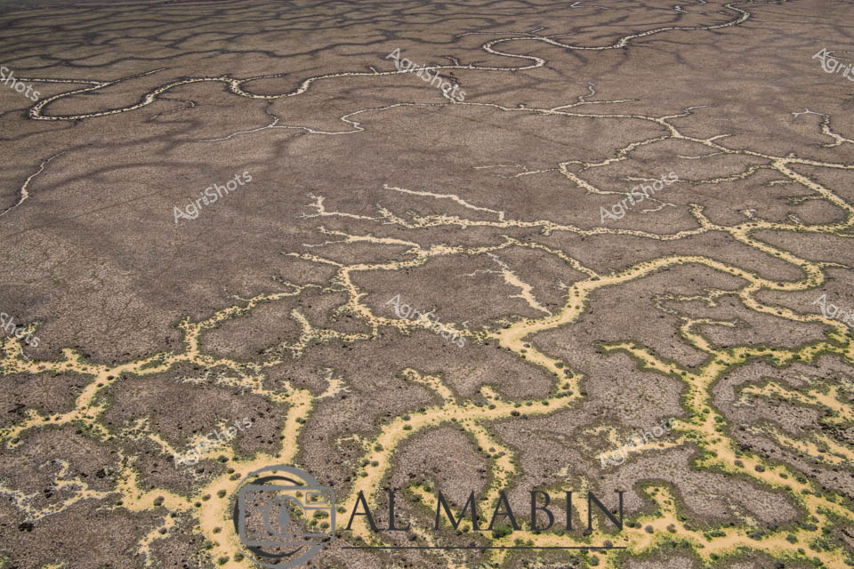
Aerial view of Channel Country's intricate water network, revealing the lifeblood of Queensland's arid pastoral landscapes. Serpentine waterways trace delicate golden-edged patterns across a weathered grey terrain, creating an organic network that resembles complex veins traversing dry earth. These ephemeral creek channels, characteristic of inland Australia's flood plains, demonstrate nature's remarkable hydraulic engineering during seasonal inundation. Soft yellowed vegetation punctuates the margins of these waterways, highlighting the subtle transition between water and land in this harsh yet resilient ecosystem. The aerial perspective captures the immense scale and fragile beauty of inland waterways that sustain vast cattle stations and support unique desert ecosystems. This landscape represents the extraordinary adaptive strategies of Australian agricultural environments, where water management is crucial to survival.
 Image
Image
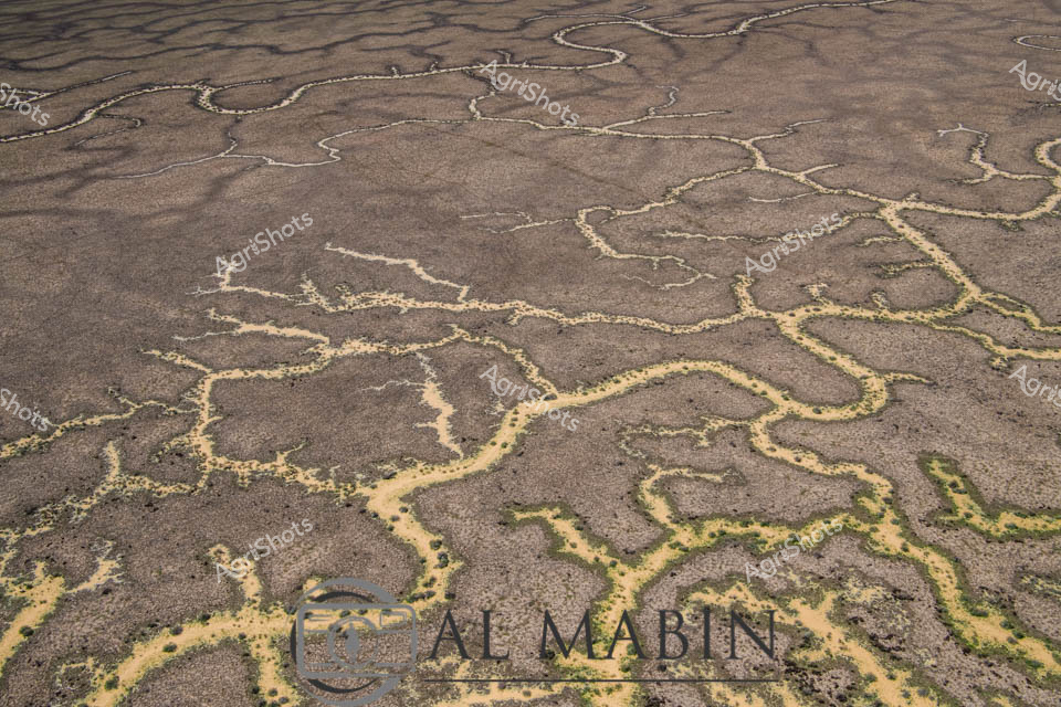
Aerial view of a braided network of water channels traversing an arid landscape, characteristic of Queensland's Channel Country. Intricate golden-yellow waterways wind and meander through a weathered grey-brown terrain, creating a natural map-like pattern that reveals the complex hydrology of this remote Australian landscape. The dry season's parched earth contrasts with the delicate veins of water, highlighting the resilience and dynamic nature of inland river systems during flood events. Subtle green vegetation edges the water channels, providing a hint of life in this otherwise stark environment. The image captures the essence of remote pastoral landscapes, where water management and seasonal flooding are critical to the survival of cattle stations and the unique ecosystem of inland Australia. This aerial perspective offers a stunning visualization of the intricate water distribution networks that define the breathtaking Channel Country region near Windorah in Queensland.