About this image
An aerial view reveals a drought-affected water body with exposed muddy banks, surrounded by sparse trees and green-tinged shoreline. Eroded land edges show the impact of low water levels, with rocky and mossy areas visible where water would typically cover during wetter seasons.
Similar media
 ▶ Video
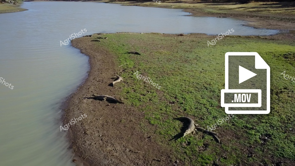
An aerial view of a marshy riverbank or lakeshore shows several large reptiles, likely crocodiles or alligators, basking on the muddy shoreline. The landscape features a green, mossy area transitioning to a brown, sandy bank that curves alongside murky, still water. These prehistoric-looking creatures are spread out, partially submerged or resting on the exposed ground, blending into their natural habitat.
 ▶ Video
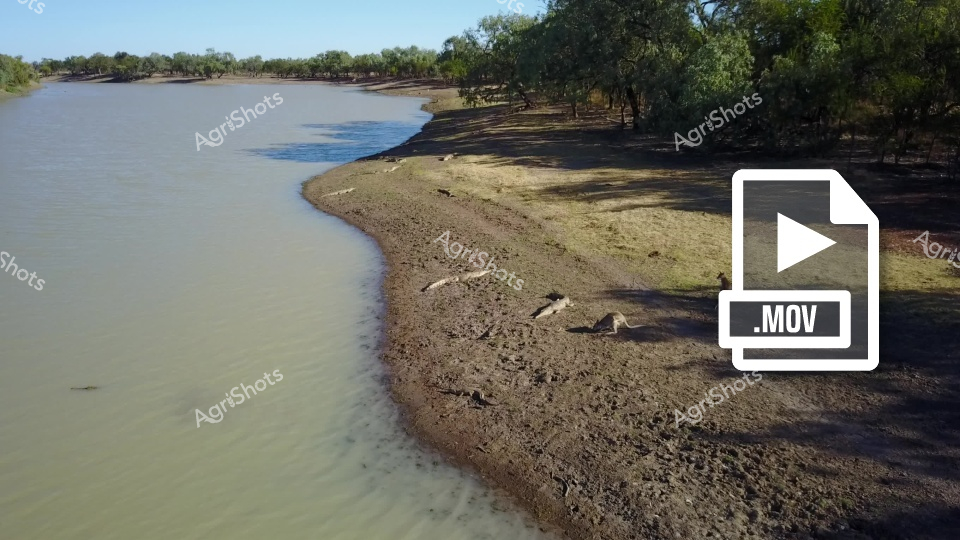
Parched riverbank reveals the harsh realities of drought along an inland waterway, with muddy shorelines and sparse vegetation marking the water's receding edge. Gnarled river red gums and sparse woodland punctuate the landscape, casting long shadows across the dry, cracked earth. A series of wildlife - likely kangaroos - rest on the exposed riverbed, seeking respite in the shade and proximity to the diminishing water source. The .MOV video file tag suggests this is a dynamic scene capturing the living landscape of an Australian river system during an extended dry period. Muted browns, greys, and dusty greens dominate the color palette, emphasizing the arid conditions. The scene powerfully illustrates the environmental challenges faced by rural and agricultural communities during prolonged drought conditions.
 ▶ Video
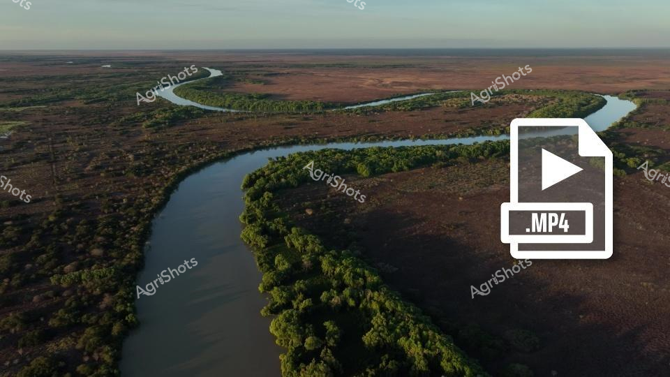
A winding river cuts through the expansive landscape of the Northern Territory, revealing lush green vegetation along its banks contrasted against the reddish-brown terrain. The aerial view captures the serpentine water course threading through a vast, remote Australian wilderness, showcasing the raw, untouched beauty of the NT's remarkable natural environment.
 ▶ Video
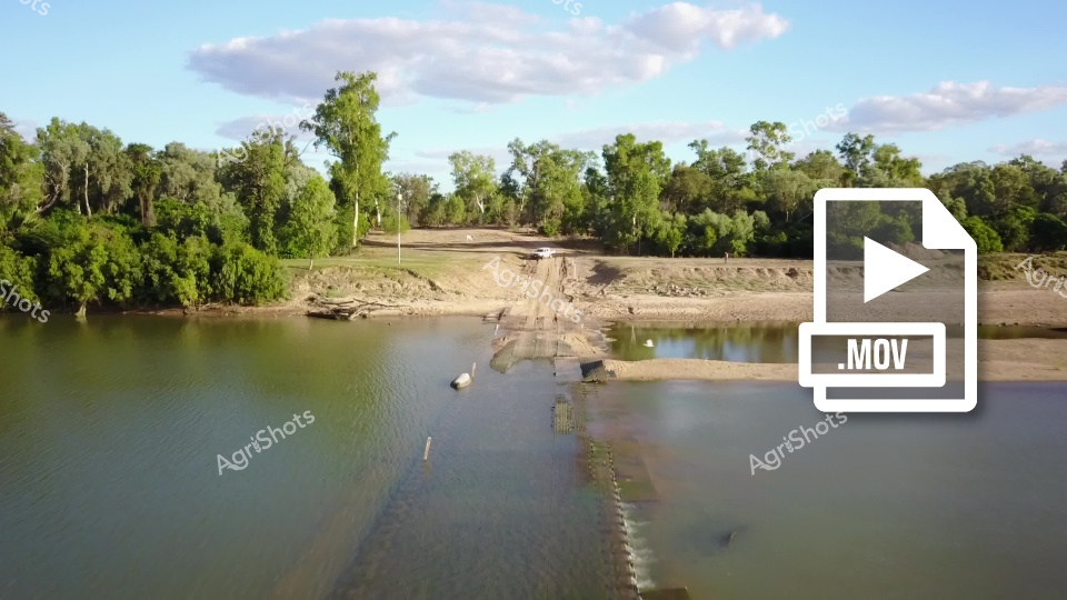
A low water crossing reveals a submerged roadway connecting two banks of a river or stream, surrounded by lush green trees and vegetation. The landscape shows a natural setting with sandy shores, partially underwater infrastructure, and a calm water surface reflecting the blue sky and fluffy white clouds overhead. The terrain suggests this is likely a rural or agricultural area with a seasonal water crossing used for transportation during lower water levels.
 ▶ Video
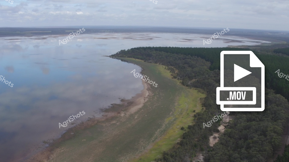
This aerial drone footage captures a stunning coastal landscape showcasing a dramatic meeting point between dense forest and a vast, reflective water body. The video clip reveals a sweeping panorama of lush green forest transitioning into a wide, misty waterway with soft grey cloud formations stretching across the horizon. The shoreline curves gracefully, presenting a mosaic of textures where dark woodland meets pale sandy beaches and calm, mirror-like water surfaces. A soft, overcast sky suggests a cool and tranquil atmosphere, likely captured during early morning or late afternoon hours. The expansive scene highlights the raw, untouched beauty of what appears to be an Australian coastal or estuarine environment, with the forested areas providing a rich green contrast against the muted blues and greys of the water and sky. The wide-angle perspective emphasizes the sense of space and natural grandeur, offering viewers an immersive glimpse into this serene coastal ecosystem.
 ▶ Video
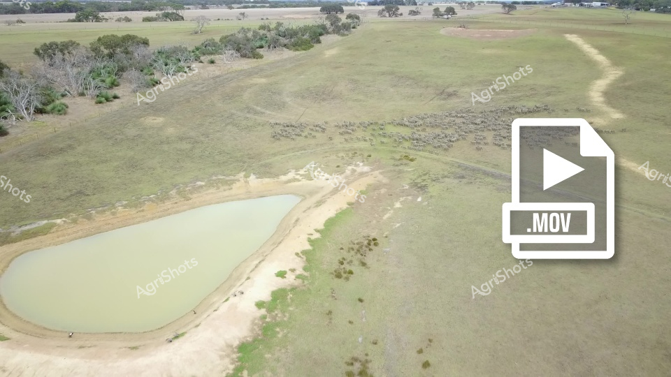
Aerial view of a rural pasture with a large, pale green water dam or reservoir in the foreground. A herd of livestock, likely sheep, is clustered in the middle distance of the grassy paddock, surrounded by scattered trees and brush. The landscape appears to be a typical Australian agricultural setting, with open grasslands and sparse vegetation, showing the importance of water infrastructure in dry farming regions.
 ▶ Video
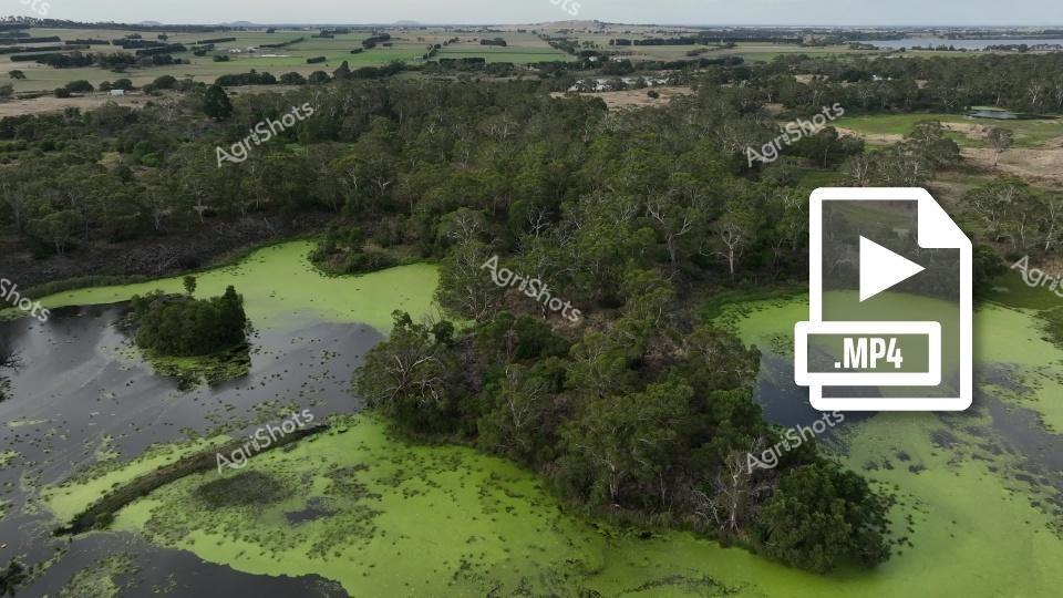
An aerial view of a lush wetland landscape in Victoria, Australia, showcasing a verdant swamp with green algae-covered water and scattered trees. The surrounding area features a mosaic of pastures and woodlands, typical of a regenerative farming setting where Angus cattle might graze. The image captures the natural beauty and ecological diversity of the region's agricultural landscape.
 ▶ Video
An aerial view of a wide, sandy river with braided channels cutting through dry, tan-colored banks. Sparse vegetation and trees line the riverbanks, creating a stark landscape of water and sediment under a pale sky. The river's sinuous path and exposed sandbars suggest low water levels, typical of dry seasonal conditions.