About this image
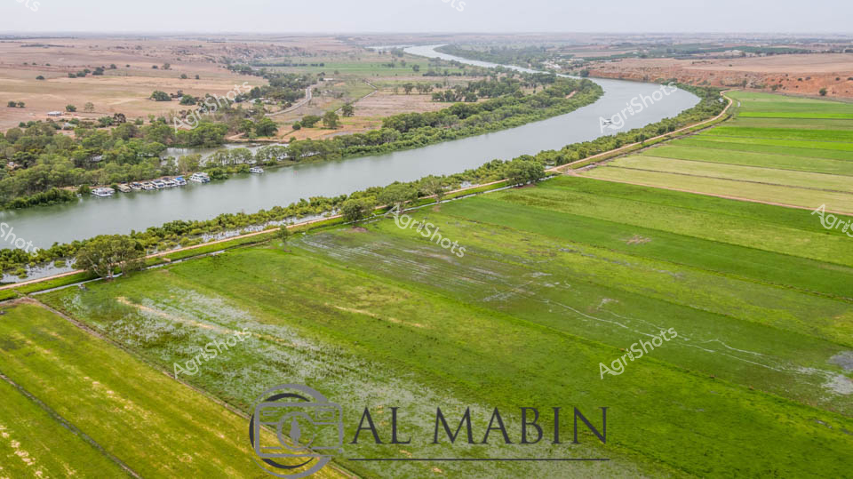
Serpentine curves of the Murray River carve through the verdant agricultural landscape of South Australia, revealing a meticulously managed floodplain at The property. Vibrant green irrigated pastures stretch alongside the river's generous meander, with precision-engineered agricultural channels creating a patchwork of cultivation zones. The fertile river banks showcase a delicate balance between natural waterway and agricultural infrastructure, with lush tree lines softening the geometric precision of crop fields. Soft earthen tones of the distant paddocks contrast sharply with the intense emerald and lime green hues of the near fields, suggesting recent rainfall and optimal growing conditions. A ribbon of roadway traces the river's edge, providing access for farm management and highlighting the interconnected nature of this productive agricultural ecosystem. The expansive aerial perspective captures the sophisticated water management techniques that transform this arid region into a thriving agricultural landscape, demonstrating the sophisticated relationship between water resources and food production in regional South Australia.