
About this image
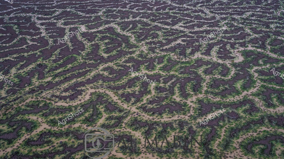
Aerial view of an intricate agricultural landscape revealing the ingenuity of land management in Queensland's Channel Country. Precision-engineered contour banks trace mesmerizing organic patterns across the terrain, creating a living topographical map of sustainable farming practice. Deep purple-brown soil alternates with verdant green vegetation, forming sinuous lines that follow natural gradients and water management principles. These carefully constructed earthworks prevent erosion, manage water flow, and optimize soil moisture retention in this arid agricultural region. The landscape resembles an abstract painting, with methodical human intervention harmonizing with the natural undulations of the terrain. Each curved bank represents a strategic approach to regenerative agriculture, transforming challenging dry landscapes into productive agricultural systems that respect the delicate ecological balance of inland Australia.
Similar media
 Image
Image
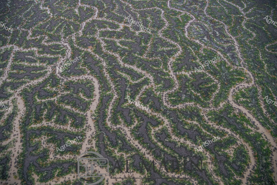
Aerial panorama of Channel Country's intricate water channels near Windorah, Queensland, revealing the mesmerizing natural irrigation patterns of arid western landscapes. Deep purple-brown earth intertwines with delicate green vegetation, creating an organic, lace-like topography that demonstrates the resilient ecosystem of Australia's inland waterways. Serpentine waterways trace complex networks across the terrain, highlighting the ephemeral nature of water in this challenging environment, where every drop is precious for sustaining pastoral life. The seasonal flooding has transformed the stark landscape into a vibrant, interconnected system of life-giving channels, showcasing the remarkable adaptation of both landscape and agricultural practices to extreme climatic conditions. Soft sandy edges blend with dark soil and scattered greenery, creating a natural camouflage that speaks to the subtle beauty of Queensland's remote interior. This breathtaking aerial perspective captures the delicate balance between aridity and abundance in one of Australia's most distinctive agricultural regions.
 Image
Image
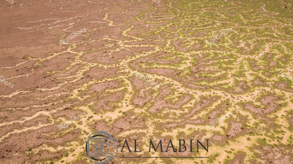
Aerial view of a mesmerizing floodplain near Windorah in Queensland's Channel Country, where intricate water channels weave across the landscape like delicate silver veins. The serpentine waterways create a complex network of green and grey, revealing the dynamic hydrology of this arid region during a significant flooding event. Sparse vegetation lines the sinuous channels, highlighting the stark contrast between the sandy earth and the life-giving water that transforms this typically dry landscape. The meandering streams demonstrate the incredible natural irrigation patterns that sustain pastoral stations and support cattle grazing in this remote Queensland environment. Each twist and turn of the water channels tells a story of resilience, showing how these inland ecosystems adapt to extreme seasonal variations. The aerial perspective captures the breathtaking complexity of Australia's inland water systems, where every curve represents the delicate balance of water, soil, and sparse vegetation in one of the continent's most challenging agricultural terrains.
 Image
Image
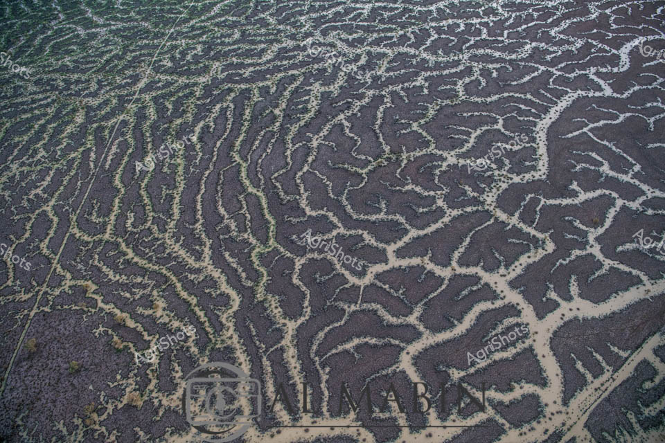
Aerial vista of Channel Country's ephemeral river system near Windorah, Queensland, revealing nature's intricate hydraulic artistry. Serpentine waterways trace delicate green-edged channels across an ochre landscape, demonstrating the extraordinary hydrology of Australia's arid interior. Seasonal flooding has transformed the dusty terrain into a complex network of interconnected streams, where sparse vegetation follows the moisture's meandering path. The landscape displays a mesmerizing pattern of brown earth interwoven with subtle green vegetation, highlighting the resilient ecosystem's adaptation to extreme environmental conditions. Each sinuous watercourse represents a lifeline through this harsh pastoral region, illustrating how water shapes and sustains life in one of the continent's most challenging agricultural environments. This remarkable aerial perspective captures the dynamic interaction between water, soil, and sparse vegetation in Queensland's remote Channel Country, a critical region for extensive beef cattle stations.
 Image
Image
Aerial view of Australia's mesmerizing Channel Country, revealing an intricate network of ephemeral waterways carved across the arid landscape near Windorah in Queensland. Delicate branching patterns of pale sand and sediment contrast against the dark earth, creating a natural topographical map that traces the fluid dynamics of seasonal flooding. These sinuous channels - remnants of recent river flows - showcase the extraordinary hydraulic choreography of inland water systems, where every rainfall creates temporary arteries across the drought-prone terrain. The landscape appears almost fractal in its complexity, with each tributary and rivulet telling a story of water's transformative power in this harsh agricultural region. Soft green and brown tones blend subtly, highlighting the resilience of this ecosystem where pastoral stations manage cattle across massive, unpredictable landscapes. This extraordinary aerial perspective captures the raw beauty of Queensland's inland waterways, revealing the intricate geological and hydrological processes that define Australia's remarkable agricultural frontier.
 Image
Image
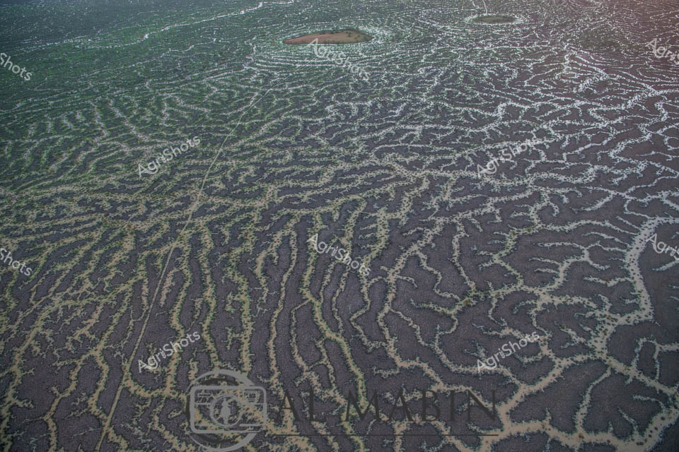
Aerial view of intricate water channels spreading across an arid Queensland landscape, capturing the mesmerizing patterns of flood irrigation in Channel Country. Sinuous lines of water weave through dark and green-tinted earth, creating a natural labyrinth that resembles delicate veins across the barren terrain. The complex network of waterways reveals the transformative power of seasonal flooding, where ephemeral rivers and creeks spread nutrients and moisture across the harsh outback landscape. Subtle gradients of green, brown, and grey blend together, showcasing the delicate balance of water management in Australia's remote beef production regions. This extraordinary perspective highlights the resilience of pastoral landscapes, where strategic water distribution enables livestock grazing in some of the continent's most challenging environments. The image captures the raw beauty of Queensland's inland hydrology, where every water channel represents a lifeline for agricultural survival in an unforgiving ecosystem.
 Image
Image
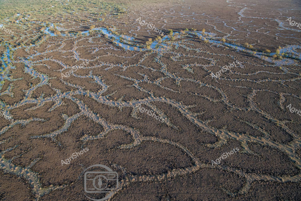
Aerial rivers of blue snake through the parched ochre landscape of Queensland's Channel Country, revealing the intricate hydraulic network of seasonal waterways. Delicate blue threads trace sinuous paths across the arid brown terrain, creating an extraordinary natural map of water's ephemeral journey across this remote pastoral landscape. The floodplains display a remarkable geological tapestry, with meandering channels spreading like capillaries across the dry earth, capturing the dynamic relationship between water and land in Australia's inland regions. Soft yellow-green vegetation hints at the life-giving potential of these seasonal water courses, which transform the seemingly barren landscape into a complex ecosystem supporting cattle stations and native wildlife. The aerial perspective unveils nature's elegant engineering - a intricate network of waterways that appear almost like abstract artworks, revealing the hidden hydrology of this harsh yet beautiful inland terrain. This image captures the resilient spirit of Queensland's Channel Country, where water is both a precious resource and a powerful sculptural force shaping the landscape.
 Image
Image
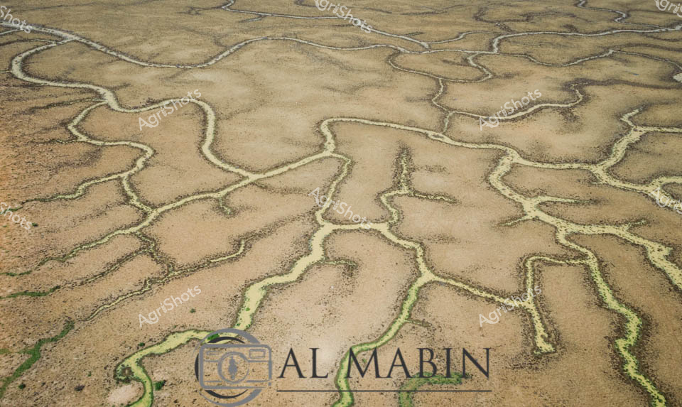
Serpentine waterways trace delicate green veins across the arid ochre landscape of Queensland's Channel Country, revealing the ephemeral life-giving networks that define this extraordinary inland ecosystem. These sinuous channels—bright emerald against the sandy beige terrain—represent the intricate river systems that periodically flood, transforming seemingly barren ground into a complex biological canvas. The aerial perspective captures the organic, branching patterns of waterways that sustain vast pastoral stations, documenting the remarkable hydrology of Australia's inland rivers during seasonal inundation. Each meandering green line represents a potential lifeline for livestock and native wildlife, highlighting the remarkable resilience of agricultural landscapes in one of the continent's most challenging environments. This image encapsulates the profound relationship between water, land, and survival in Australia's remote interior.
 Image
Image
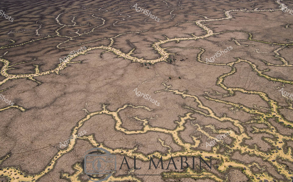
Meandering waterways carve intricate golden-edged channels across the parched earth of Queensland's Channel Country, revealing the dramatic hydrology of Australia's arid interior. Delicate ribbons of yellowed vegetation trace the ephemeral creek lines, highlighting the complex networks that carry precious water across this harsh landscape during rare flooding events. The aerial perspective transforms the landscape into an abstract topographical map, showcasing the resilient ecological patterns of inland Australia's beef station territories. Windorah's distinctive landscape emerges as a masterpiece of natural engineering, where water navigates through sun-baked terrain in serpentine patterns that speak to the region's extreme environmental conditions. These seasonal water flows are lifelines for remote pastoral operations, providing critical hydration for livestock and sustaining sparse vegetation in one of the continent's most challenging agricultural environments. The muted browns and subtle golden highlights capture the raw beauty of Queensland's inland watersheds, illustrating the delicate balance of survival in Australia's unforgiving outback.