About this image
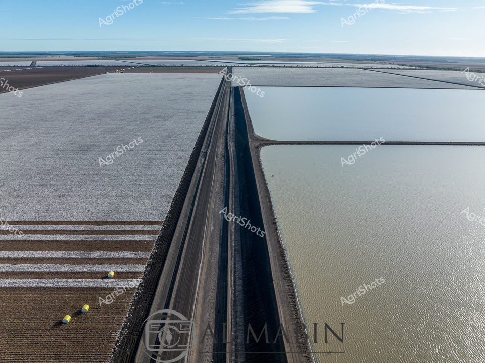
Geometric precision defines this aerial view of an expansive cotton irrigation landscape in Queensland's Balonne Shire. A razor-sharp black canal bisects meticulously prepared agricultural fields, creating a striking linear composition between silvery water reservoirs and structured crop zones. Brilliant yellow harvest markers punctuate the textured brown earthen sections, signaling strategic planting and harvesting points across the undulating terrain. Expansive irrigation channels reveal the sophisticated water management techniques essential to cotton cultivation in this arid agricultural region, where every drop of water is carefully channeled and conserved. The landscape speaks to human engineering and agricultural resilience, transforming seemingly inhospitable terrain into a productive agricultural ecosystem through strategic design and technological intervention. The panoramic vista captures the intersection of technological precision and natural landscape, showcasing how modern Australian agriculture transforms vast horizontal plains into carefully calibrated production zones.