About this image
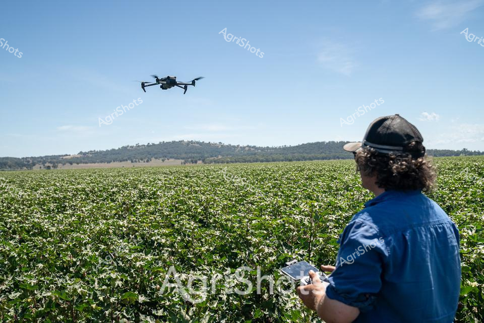
Modern Agricultural Precision: Drone Surveying in the Cotton Fields A farmer in a crisp blue work shirt and black cap operates a DJI drone across a lush green cotton field, scanning the expansive agricultural landscape of northern New South Wales. The sophisticated unmanned aerial vehicle hovers methodically above dense rows of thriving cotton plants, capturing critical data about crop health, irrigation needs, and potential environmental variations. Rolling hills frame the distant horizon, creating a quintessential Australian agricultural panorama under a brilliant clear blue sky. This cutting-edge technology represents the evolution of farming - where precision agriculture meets traditional land management, allowing farmers to monitor vast agricultural estates with unprecedented efficiency and detail. The scene epitomizes the technological innovation transforming contemporary farming practices, bridging generations of agricultural knowledge with state-of-the-art digital monitoring systems. Every movement of the drone represents a strategic approach to sustainable crop management, highlighting the sophisticated skills of modern agricultural professionals in regions like Walgett Shire.
Similar media
 Image
Image
Precision agriculture unfolds across a verdant cotton field stretching to distant rolling hills under a clear azure sky. A farmer wearing a deep blue work shirt and black cap operates a DJI drone, carefully monitoring crop health through advanced aerial technology. The expansive green cotton plantation reveals uniform rows of young plants, their broad leaves creating a textured landscape that signals healthy growth in this region of northern New South Wales. Modern agricultural innovation meets traditional farming practices as the drone hovers methodically, capturing high-resolution data about plant vitality, irrigation needs, and potential pest conditions. Walgett Shire's agricultural landscape demonstrates cutting-edge farming techniques that leverage satellite and drone technology to optimize crop management and sustainability. The scene captures the intersection of technological sophistication and agricultural expertise, highlighting how contemporary farmers use digital tools to enhance productivity and environmental stewardship across Australia's critical agricultural regions.
 Image
Image
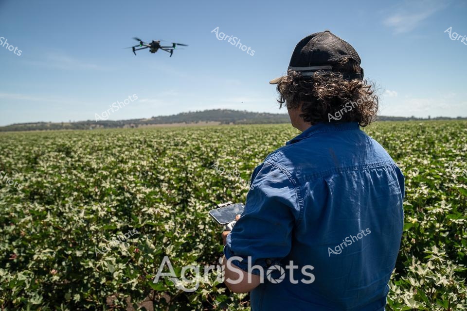
Precision agriculture unfolds across a vast cotton field, where innovation meets traditional farming. A farmer in a deep blue work shirt and black cap stands with his back to the camera, operating a sophisticated DJI drone hovering above the verdant landscape. Rolling hills frame the horizon, while the cotton crop stretches in uniform green rows dotted with delicate white blossoms, signaling the early stages of the growing season. The crisp blue sky and bright sunlight highlight the advanced technological approach to modern agricultural management, with the drone serving as a critical tool for crop monitoring, irrigation planning, and yield assessment. Cutting-edge remote sensing technology allows the farmer to gather detailed insights about crop health, soil conditions, and potential areas requiring intervention, representing the sophisticated intersection of agricultural expertise and digital innovation. This scene captures the essence of contemporary farming in regional New South Wales, where technological precision meets the timeless rhythms of agricultural production.
 Image
Image
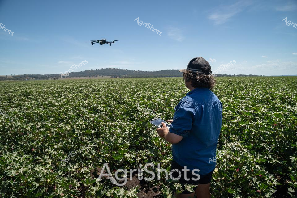
Precision agriculture transforms the vast cotton fields of Walgett Shire, New South Wales. A farmer in a crisp blue work shirt operates a drone, hovering methodically above the lush green cotton crop studded with white blossoms. Rolling hills frame the distant horizon under a crystalline azure sky, highlighting the expansive agricultural landscape. The drone - likely a DJI model - scans the meticulously planted rows, capturing detailed data about crop health, irrigation needs, and potential pest activities. Advanced agricultural technology merges seamlessly with traditional farming practices, allowing for hyper-targeted crop management and resource optimization. This image captures the modern agricultural revolution, where digital innovation meets the timeless rhythm of Australian rural production - a testament to the sophisticated techniques driving contemporary farming in New South Wales.
 Image
Image
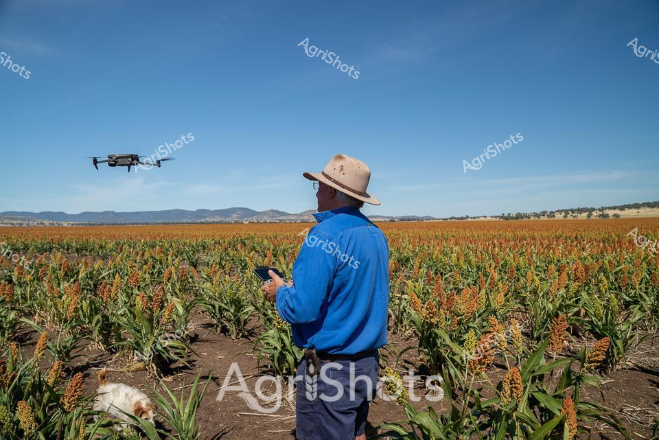
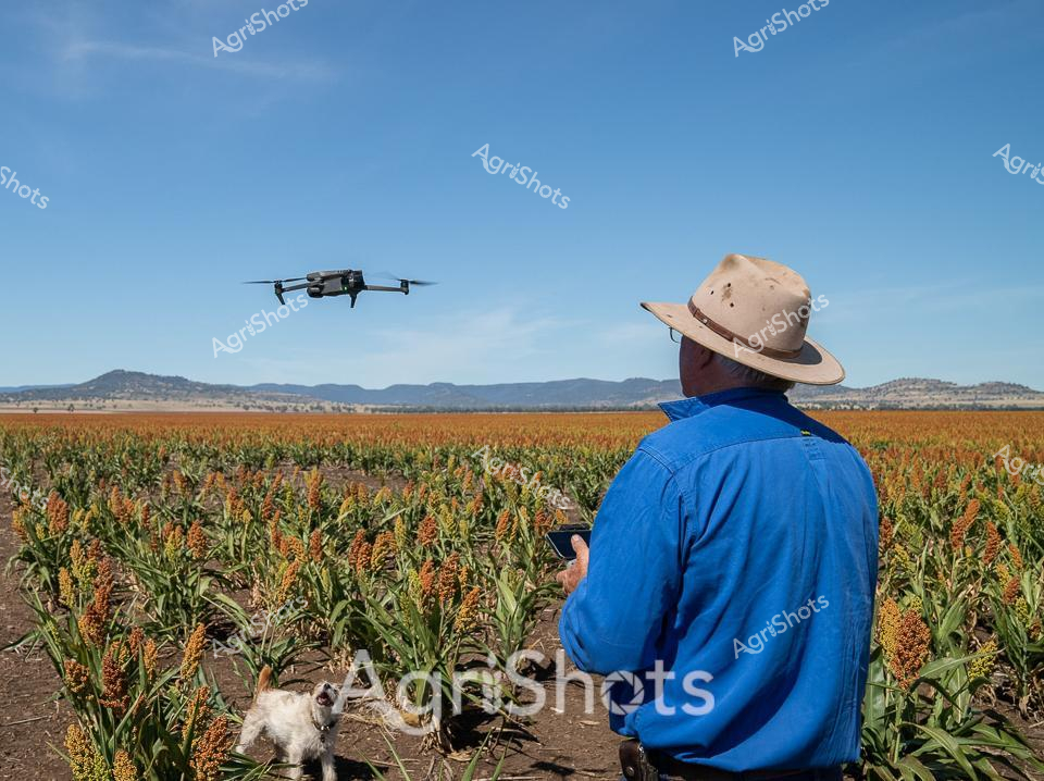
Modern Precision Agriculture: Sorghum Fields Under Azure Skies A farmer in a vibrant blue long-sleeved shirt and classic wide-brimmed Australian agricultural hat stands amid ripening sorghum fields, commanding a hovering DJI drone with precise digital control. Golden-orange sorghum crops stretch across undulating terrain, their mature heads creating a rich, textured landscape against dark soil and distant mountain ranges. The cloudless cerulean sky amplifies the scene's sense of technological innovation meeting traditional agricultural practices, with the compact drone capturing aerial data about crop health, growth patterns, and potential irrigation needs. This moment encapsulates contemporary farming—where cutting-edge technology enables farmers to monitor vast agricultural landscapes with unprecedented efficiency and accuracy. The carefully maintained crop rows and the farmer's controlled, professional stance reflect the strategic precision of modern Australian agricultural management, bridging generations of farming knowledge with sophisticated digital monitoring techniques.
 Image
Image
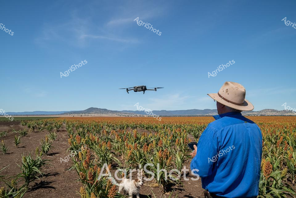
Rural innovation meets tradition in this striking agricultural tableau. A farmer in a vivid blue workshirt and wide-brimmed sun hat operates a DJI drone above a golden sorghum field, capturing precision agricultural data against the rugged mountain backdrop of New South Wales. The meticulously planted crop stretches in uniform rows, displaying the rich amber and green hues of mature sorghum plants, with distant rocky ranges creating a dramatic landscape horizon. A small white dog sits attentively at the farmer's feet, embodying the companionship integral to rural work. The brilliant azure sky and clear lighting suggest a mid-morning moment, highlighting the technological advancement of modern farming practices. This image encapsulates the contemporary agricultural landscape - where cutting-edge aerial monitoring technologies seamlessly integrate with traditional farming expertise, demonstrating how Australian farmers are leveraging digital tools to optimize crop management and productivity.
 Image
Image
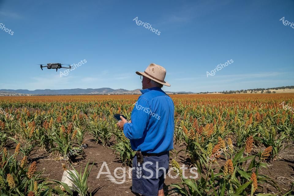
Commanding the horizon, a farmer in a crisp blue shirt and classic wide-brimmed Australian sun hat operates a DJI drone above a vast sorghum field. Golden-orange sorghum heads ripple across meticulously planted rows, contrasting against rich dark soil, with distant mountains creating a rugged backdrop under an expansive azure sky. The drone hovers precisely, capturing aerial agricultural intelligence - a testament to modern farming's technological evolution in managing extensive crop landscapes. A small fluffy dog sits nearby, seemingly attentive to the agricultural surveillance in progress. This scene epitomizes contemporary agricultural practice in rural New South Wales, where precision technology and traditional farming expertise converge to monitor and optimize crop health and yield. The image captures the intersection of human skill, technological innovation, and the timeless Australian agricultural landscape - a dynamic moment of rural productivity and strategic crop management.
 Image
Image
Precision agriculture unfolds across a golden sorghum field stretching towards distant blue mountain ranges. A farmer in a vibrant blue long-sleeved shirt and wide-brimmed protective hat operates a drone, carefully monitoring crop conditions using advanced remote sensing technology. The uniform rows of mature sorghum plants display rich amber and russet tones, indicating a healthy crop ready for harvest in the dry, sunlit landscape of rural New South Wales. Modern agricultural techniques merge seamlessly with traditional farming practices as the drone hovers above the field, capturing high-resolution aerial data about crop health, irrigation needs, and potential variations in plant growth. The expansive agricultural landscape showcases the sophisticated approach of contemporary Australian farmers who leverage cutting-edge technology to optimize agricultural productivity and sustainability. Crisp blue skies and the neat geometric patterns of the sorghum plantation highlight the intersection of technological innovation and agricultural expertise in this compelling rural scene.
 Image
Image
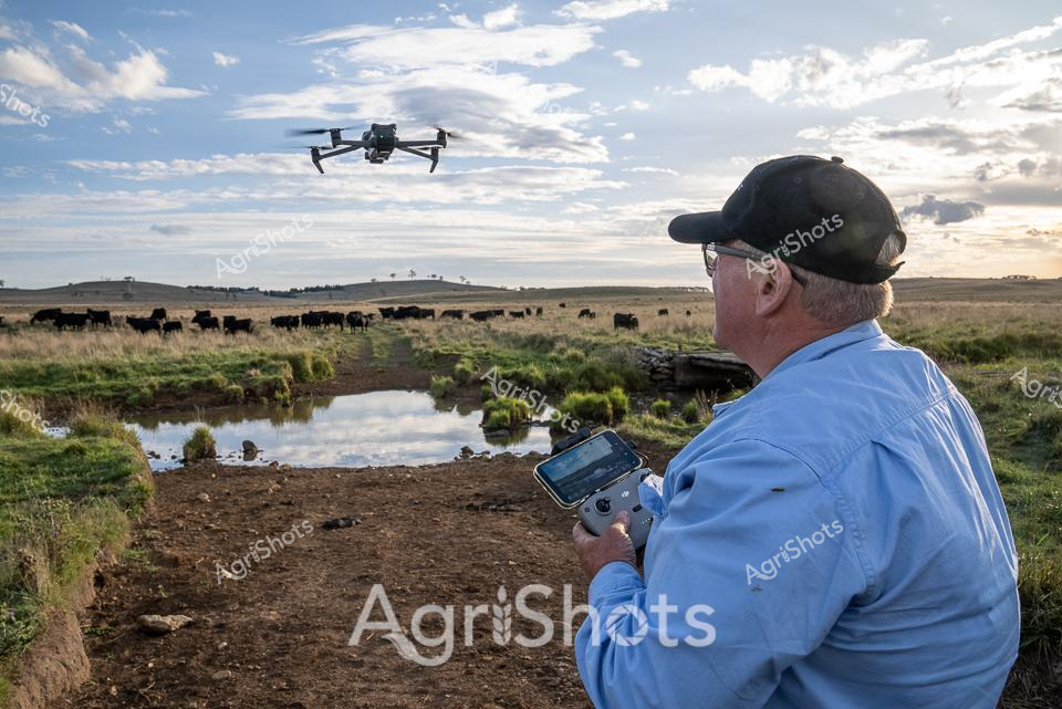
Precision agriculture unfolds across a tranquil New England tablelands landscape, where modern technology meets traditional livestock management. An experienced cattle manager in a crisp blue work shirt and black cap pilots a drone above a lush pasture, guiding his gaze over a herd of black Angus cattle grazing near a meandering creek. The late afternoon light casts soft shadows across the undulating grasslands, highlighting the rich textures of mud, grass, and water, while wispy clouds drift across a serene blue sky. With the drone's remote controller in hand, the manager surveys the herd's movement and condition, leveraging cutting-edge aerial technology to monitor livestock with unprecedented efficiency and detail. Black Angus cattle, renowned for their robust genetic lines and premium beef qualities, move slowly through the verdant spring pasture, their dark coats a stark contrast against the pale grasses and reflective water surface. This image captures the essence of contemporary Australian agricultural practice - a seamless blend of technological innovation, environmental awareness, and generations of farming expertise.