About this image
A vast, golden agricultural landscape sweeps across the frame, capturing the quintessential Australian dryland farming terrain in late summer. Expansive wheat fields stretch to distant mountain ranges, their uniform golden-brown surface interrupted only by scattered eucalyptus trees and small water storage dams. Dramatic cloud formations build on the horizon, suggesting the potential for an approaching storm or rainfall that could dramatically transform this arid agricultural environment. The precision of the paddock's cultivation is evident in the perfectly aligned harvest tracks running across the undulating terrain, demonstrating the sophisticated land management techniques of modern Australian broadacre farming. A sense of isolation and resilience permeates the scene, with the sparse trees and rectangular water reservoirs highlighting the challenging agricultural conditions of the region. The aerial perspective provides a stunning testament to human agricultural adaptation in a harsh, drought-prone landscape.
Similar media
 ▶ Video
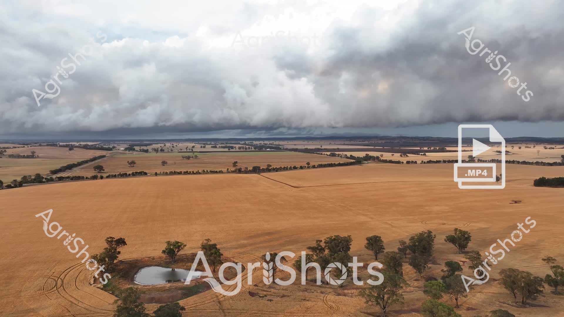
A dramatic rural landscape unfolds beneath a massive, brooding storm system sweeping across the golden wheat fields of inland Australia. Expansive golden-brown paddocks stretch toward the horizon, punctuated by scattered eucalyptus trees and a small water dam nestled in the foreground. Menacing steel-gray clouds roll dramatically overhead, creating a stark contrast with the dry, harvested agricultural terrain below. The carefully cultivated landscape reveals precise farming lines and contours, showcasing the meticulous land management of a broadacre agricultural property. A single small dam with curved banks provides critical water resources for the surrounding farmland, surrounded by mature native trees that offer natural windbreaks and ecological diversity. The image captures the resilience of Australian agricultural landscapes, where farmers navigate challenging environmental conditions with strategic land use and water management.
 ▶ Video
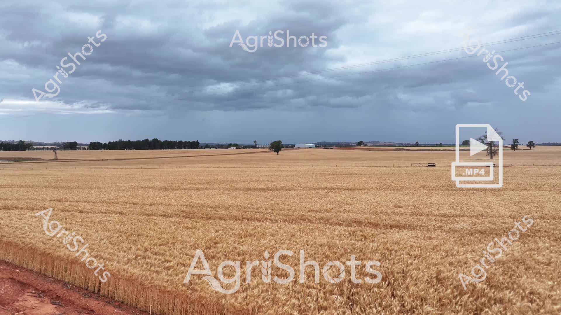
A vast golden wheat field stretches across the horizon under an ominous steel-grey sky in this dramatic agricultural landscape. The mature wheat crop stands uniformly ripe, its golden-brown stalks creating a textural carpet that extends to distant treelines and rural infrastructure. Scattered eucalyptus trees punctuate the landscape, providing isolated vertical elements against the expansive horizontal plane of cultivated land. Stormy clouds gather overhead, suggesting imminent weather that could significantly impact the harvest conditions. A dirt track along the field's edge hints at the access routes farmers use to monitor and manage their broadacre cropping operations. The image captures the quintessential Australian agricultural landscape - a testament to the delicate balance between agricultural productivity and environmental conditions, where careful cultivation meets the unpredictable forces of nature.
 ▶ Video
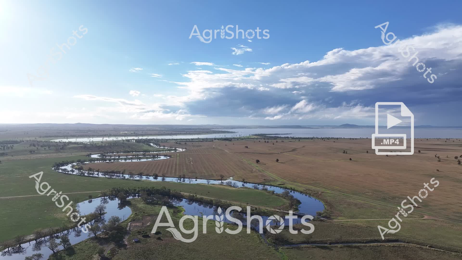
A sweeping aerial view captures the dramatic landscape of the Riverina region in New South Wales, revealing a sinuous river winding through verdant agricultural terrain. The meandering waterway creates a stunning serpentine pattern, its blue waters reflecting the expansive sky and contrasting sharply with the surrounding green and brown paddocks. Scattered trees dot the landscape, providing natural breaks in the agricultural expanse, while distant mountains create a soft horizon line. The image showcases the intricate relationship between water and land in this productive agricultural region, with carefully managed fields stretching out in a patchwork of greens and earth tones. Billowing clouds drift across a brilliant blue sky, adding depth and drama to the panoramic vista of this quintessential Australian rural landscape. The waterway appears to be at high levels, suggesting recent rainfall or seasonal flooding that has transformed the agricultural terrain. Curves of the river create natural boundaries between differently colored and textured paddocks, highlighting the strategic importance of water in this agricultural ecosystem.
 ▶ Video
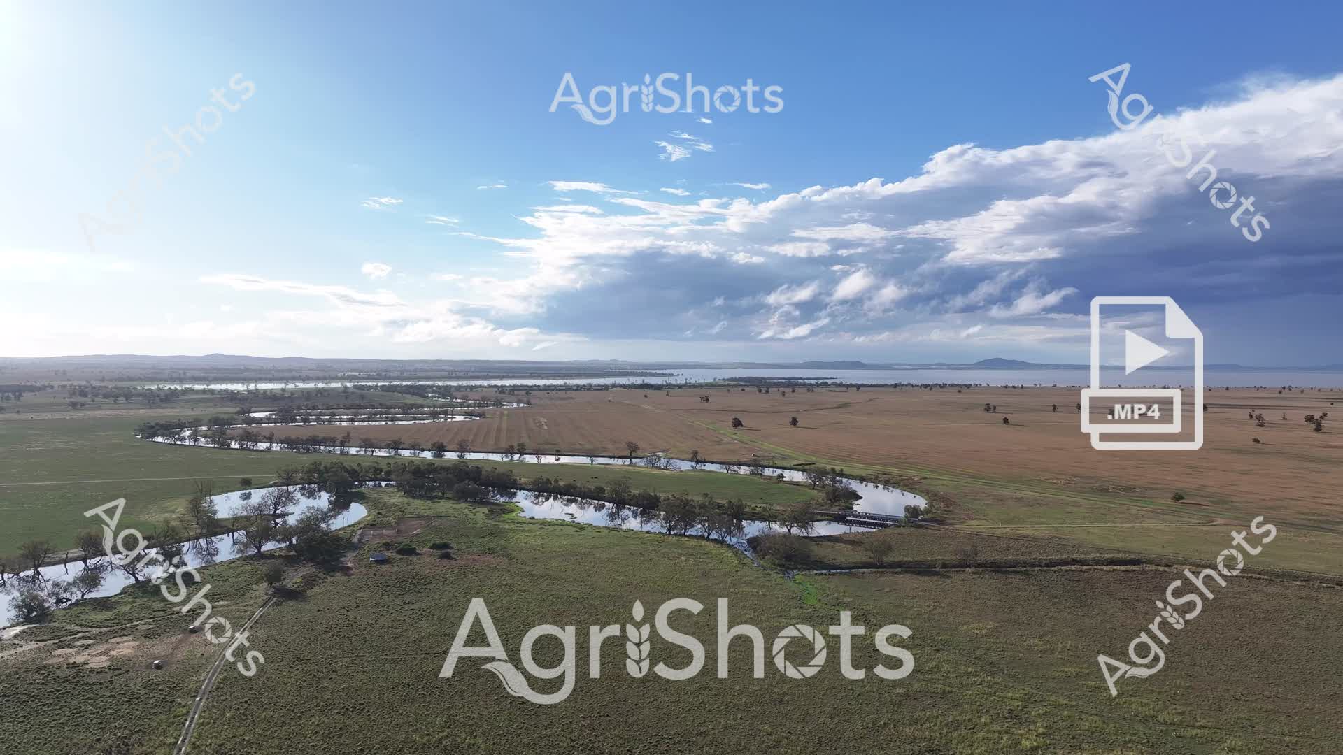
A sweeping aerial panorama captures the expansive agricultural landscape of the Riverina region, showcasing the intricate relationship between water, land, and farming. Winding through verdant green and golden-brown paddocks, a sinuous river reflects the sky's dramatic cloud formations, creating natural boundaries between carefully cultivated agricultural zones. Scattered eucalyptus trees punctuate the landscape, providing shelter and visual texture to the broad, undulating terrain. The image, captured from a high vantage point, reveals the complex mosaic of agricultural land use - with some fields appearing recently harvested, others in various stages of cultivation, and water bodies providing critical irrigation resources. The sky dominates the upper third of the composition, with billowing cumulus clouds in shades of white and steel-blue, suggesting the potential for seasonal weather changes that are so crucial to agricultural productivity. This landscape epitomizes the resilience and adaptive nature of Australian broadacre farming, where water management and land use are in constant, delicate negotiation.
 ▶ Video
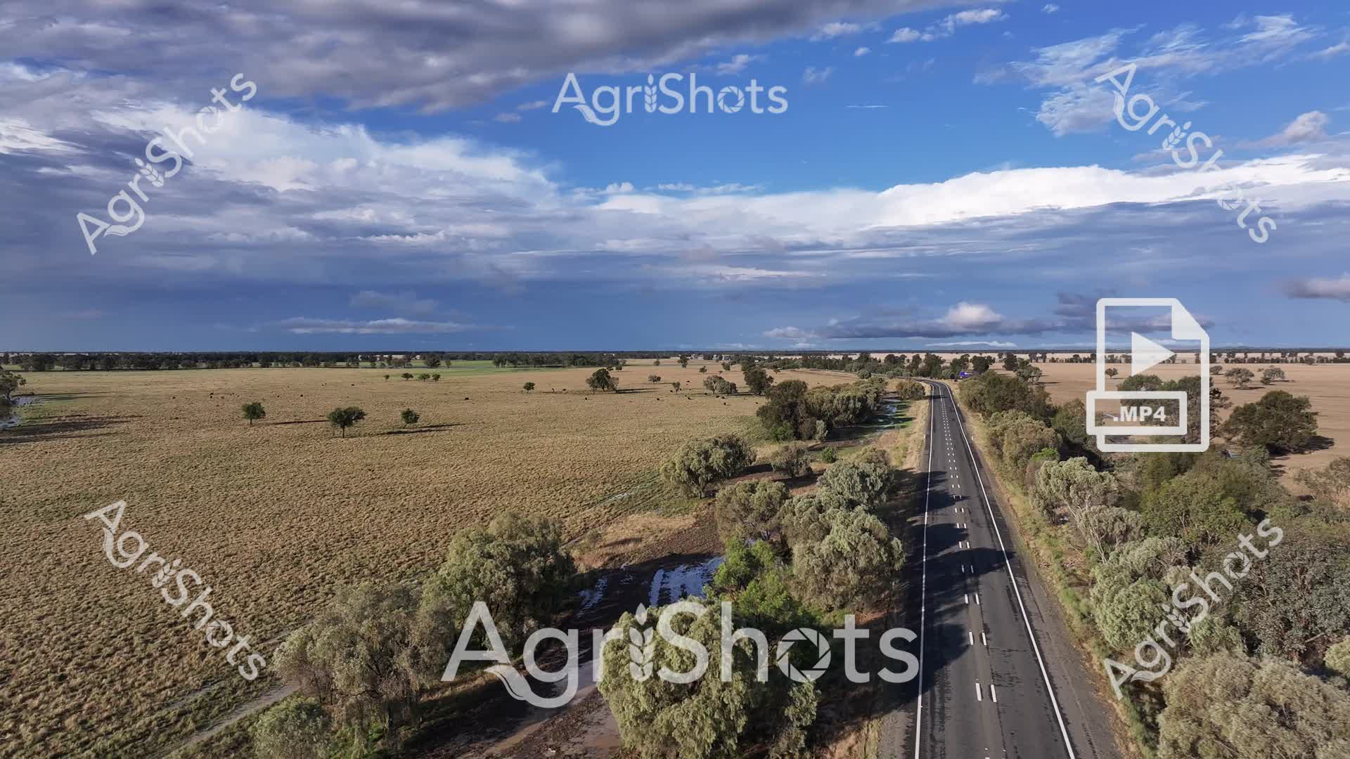
An expansive aerial vista captures a quintessential Australian rural landscape, showcasing a sealed bitumen highway cutting through undulating farmland in what appears to be a temperate agricultural region. The road stretches dramatically through a patchwork of golden-brown paddocks and scattered eucalyptus trees, creating a striking geometric contrast against the natural landscape. Dramatic cloud formations in shades of steel blue and white dominate the expansive sky, suggesting either an approaching weather system or the transitional light of early morning or late afternoon. Sparse, hardy trees punctuate the landscape, their silvery-green foliage providing subtle texture and breaking the monotony of the dry grasslands. The highway, immaculately maintained with clear lane markings, represents the critical infrastructure connecting rural communities and facilitating agricultural logistics. This aerial perspective beautifully illustrates the characteristic Australian agricultural landscape - a blend of vast open spaces, sophisticated infrastructure, and resilient vegetation adapted to challenging environmental conditions.
 ▶ Video
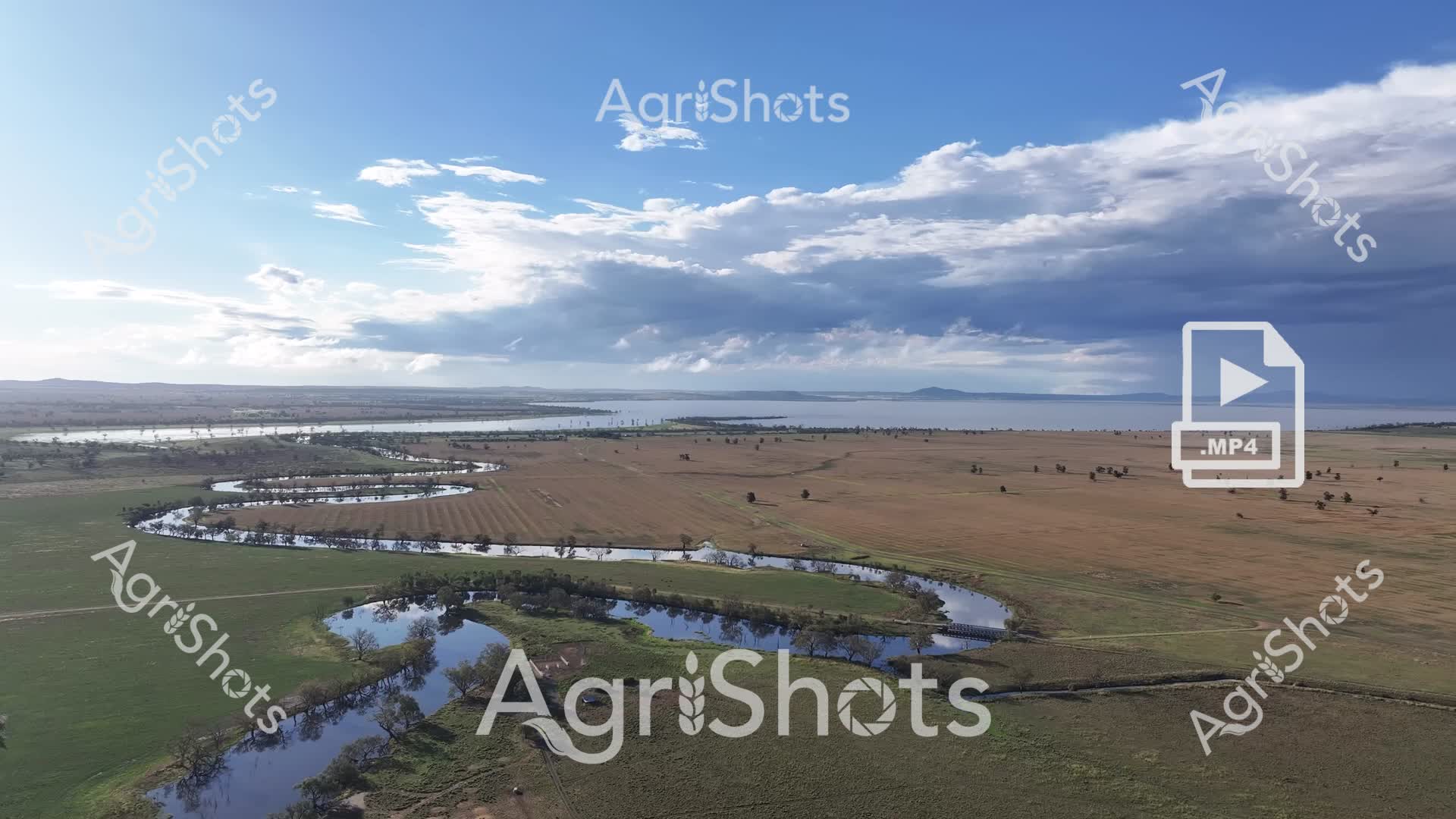
A sweeping aerial vista captures the intricate water management of a rural Australian landscape, revealing a meandering river system cutting through verdant and arid paddocks. The serpentine waterway winds through green and brown agricultural fields, creating natural borders and irrigation channels that sustain the surrounding farmland. Scattered eucalyptus trees dot the landscape, providing subtle breaks in the expansive terrain and highlighting the resilience of Australian native vegetation. In the distance, a broad lake or water reservoir reflects the dramatic cloudscape - a mix of brilliant blue sky and towering cumulus clouds that suggest potential rainfall. The carefully cultivated landscape reveals the sophisticated water management strategies employed by Australian farmers to maximize land use and agricultural output.
 ▶ Video
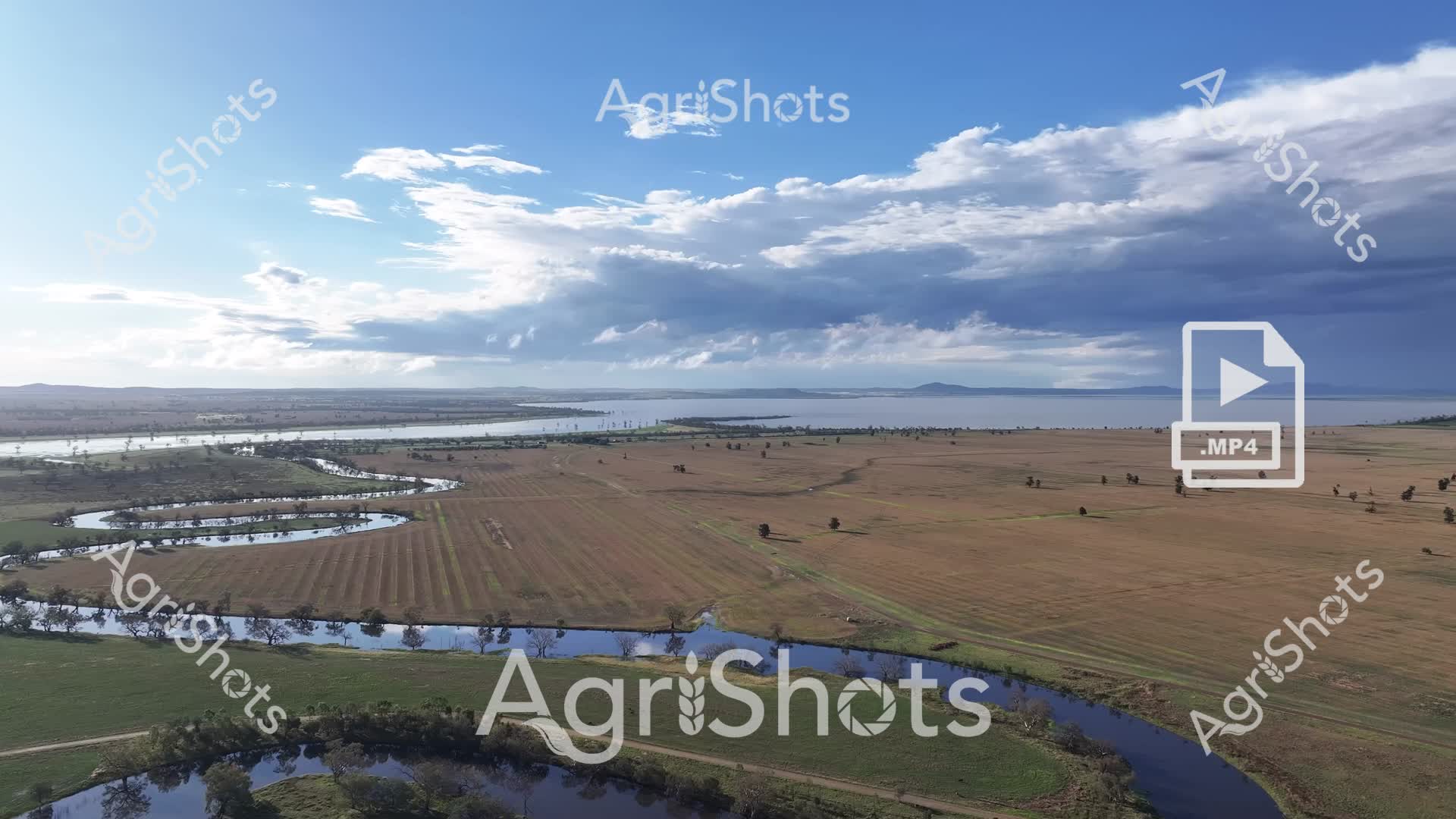
A sweeping aerial vista captures the dramatic landscape of the Riverina region in New South Wales, revealing a complex interplay of water, farmland, and expansive skies. Sinuous blue rivers meander through golden-brown agricultural paddocks, creating intricate patterns of flooding and water distribution across the rural terrain. Storm clouds gather dramatically overhead, painting the sky in deep slate grays and brilliant whites, suggesting an impending weather system that will further transform this dynamic agricultural environment. Scattered trees punctuate the landscape, their silhouettes standing resilient against the vast open fields and winding waterways. The image exemplifies the challenging and beautiful nature of Australian agricultural landscapes, where water management and natural weather patterns directly influence farming conditions. From this elevated perspective, the interconnectedness of land, water, and sky becomes a stunning testament to the complex ecosystems of rural Australia.
 ▶ Video
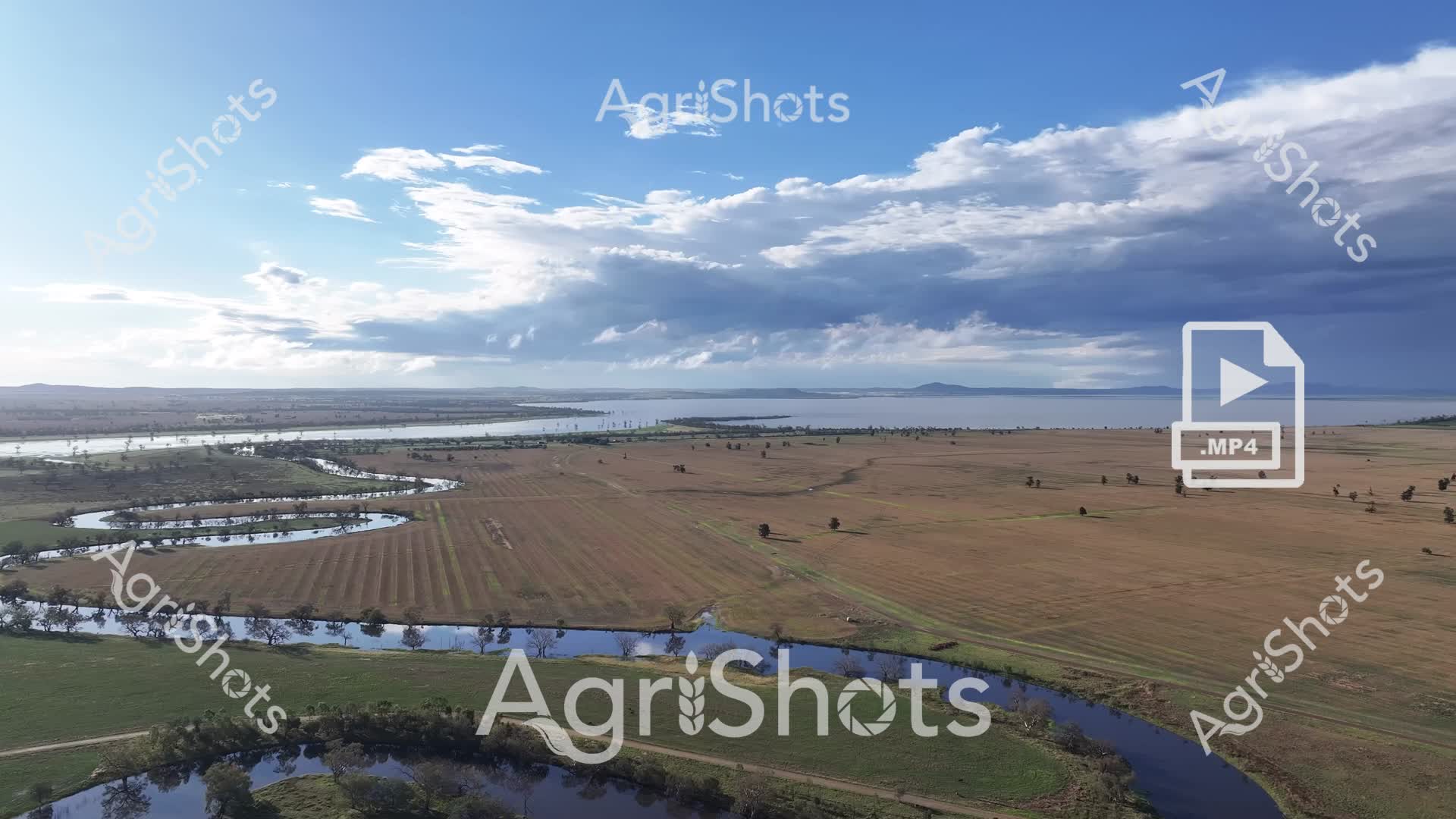
A stunning aerial view captures the expansive agricultural landscape of the Riverina region in New South Wales, revealing a complex tapestry of water and farmland. Serpentine rivers wind through carefully cultivated paddocks, their blue waters creating sinuous breaks in the earthy brown and green agricultural terrain. Scattered trees punctuate the landscape, providing subtle visual texture against the vast open fields and distant horizons. Dramatic cloud formations dominate the sky, with layers of white and steel-blue clouds suggesting an approaching storm or recent rainfall. The strategic placement of water and the undulating topography highlight the intricate relationship between natural water systems and agricultural land management. This panoramic image encapsulates the resilience and complexity of Australian rural landscapes, where water and farming coexist in a delicate, interconnected ecosystem. The image is categorized under: - Landscapes - Farm Equipment - Agricultural Equipment - Crops & Harvest - Australian Livestock Breeds Relevant Domain Tags: - Riverina Region - NSW - New South Wales - Flooding - River - Clouds - Storm